Antique Maps
Arabia
Barent Langenes (map engraved by Jodocus Hondius or Petrus Kaerius) · Middelburg · Barent Langenes, for sale at Cornelis Claesz, Amsterdam · 1598
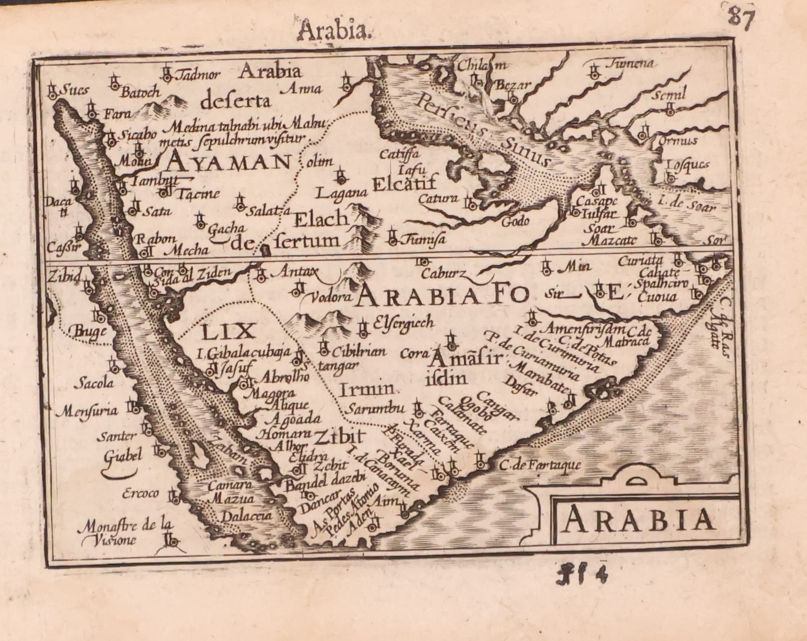
Barent Langenes, one miniature map of the whole Arabian peninsula, with Mecca, Medina, Jeddah, Aden and Muscat, and the complete Dutch description of Arabia, from the first edition of the Caert-Thresoor, Middelburg 1598
FM-0123
€ 1.200
Key Properties
Edition: First edition, first state, without the graticule of longitude and latitude
Language: Dutch (the complete Beschryvinghe van Arabia, pp. 88 to 90)
Format: Copperplate engraving, c. 9 x 12 cm, on a leaf from the oblong octavo atlas (p. 87), with the letterpress description on pp. 88 to 90
Colouring: Uncoloured, as issued
Collation & Technical Description
One map with its accompanying text, on two leaves from the Caert-Thresoor: the single map ARABIA on p. 87, and the complete Dutch Beschryvinghe van Arabia on pp. 88, 89 and 90. The map shows the whole peninsula between the Red Sea and the Persian Gulf. The Tropic of Cancer cuts the map in a northern and a southern part, with Ayaman above it and Arabia Foelix below; present-day Yemen is called Zibit after its major harbour on the Red Sea. Just under 23 1/2 degrees are Consida al Ziden (Jeddah) and Mecha (Mecca), and above them Medina talnabi, with the note ubi Mahumetis sepulchrum visitur, where the tomb of Muhammad is visited. The southernmost point is Aden; on the Gulf side Ormus, Mascate (Muscat) and the Persicus Sinus are marked, with Arabia deserta and Arabia Petrea to the north.
The Dutch description on pp. 88 to 90 treats the three Arabias, the Bedouin and the origin of the Saracens, Mecca and the birth of Muhammad, Medina Talnabi with the prophet's tomb, mount Sinai and Petra, the cities Zidem, Zibit and Aden, the caravans to India, Cairo and Damascus, and the capture of Aden by the Turks in 1538.
Condition
A strong, dark impression on toned paper, the letterpress showing through as usual. Wide margins; some chipping and small marginal defects at the extremities, far from the printed border. Original page numbers preserved.
References & Bibliography
Tibbetts, Arabia in Early Maps (1978), map 54. Koeman, Atlantes Neerlandici, II, p. 254, Lan 1. Schilder, Monumenta Cartographica Neerlandica, VII, 16.1. Burger, Het Caert-Thresoor (1930), pp. 65 to 80. King, Miniature Antique Maps (1996).
Description
A single miniature map of Arabia, covering the whole peninsula on one plate, from the first edition of Barent Langenes's Caert-Thresoor, the first Dutch pocket atlas, published at Middelburg in 1598 and sold by Cornelis Claesz in Amsterdam, here with the complete Dutch description of Arabia that accompanied it in the atlas.
The map descends directly from the best cartography of its day. The first map devoted exclusively to Arabia is the Sexta Asiae tabula in the Rome Ptolemy of 1478; the first modern depiction is in Waldseemüller's Carta Marina of 1516, known in a single copy; the first printed modern map is Gastaldi's Arabia Felix Nova Tabula of 1548, copied and enlarged by Ruscelli in 1561. The next advance came from Portuguese maritime cartography, built on the exploration of the Asian waters from Vasco da Gama onwards: Petrus Plancius obtained a fine set of Portuguese manuscript maps by Bartolomeu Lasso, which served as the basis for the map of the Indian Ocean published in Van Linschoten's Itinerario of 1596. The Langenes Arabia is a direct derivative of that Linschoten map, and quite distinct from the Porro map of the same date: the bays are shown in distinct detail and the places are clearly indicated, the result of direct observation.
Historical Significance
The Caert-Thresoor of 1598 was the first atlas in the Dutch language, engraved by Jodocus Hondius and Petrus Kaerius, and its little plates carried the newest Portuguese-derived geography of Asia to a broad public in the very years the Dutch first sailed for the East. Its Arabia is among the earliest obtainable separate maps of the peninsula, naming Mecca, Medina with the tomb of Muhammad, Jeddah, Aden and Muscat, and the accompanying Dutch text is an early vernacular account of Arabia and of Islam for northern European readers. The first edition is extremely rare: only about thirteen copies are known to survive, and separate leaves from it seldom appear on the market.
Provenance
Available on request.
Related works
Antique Maps · FM-0098
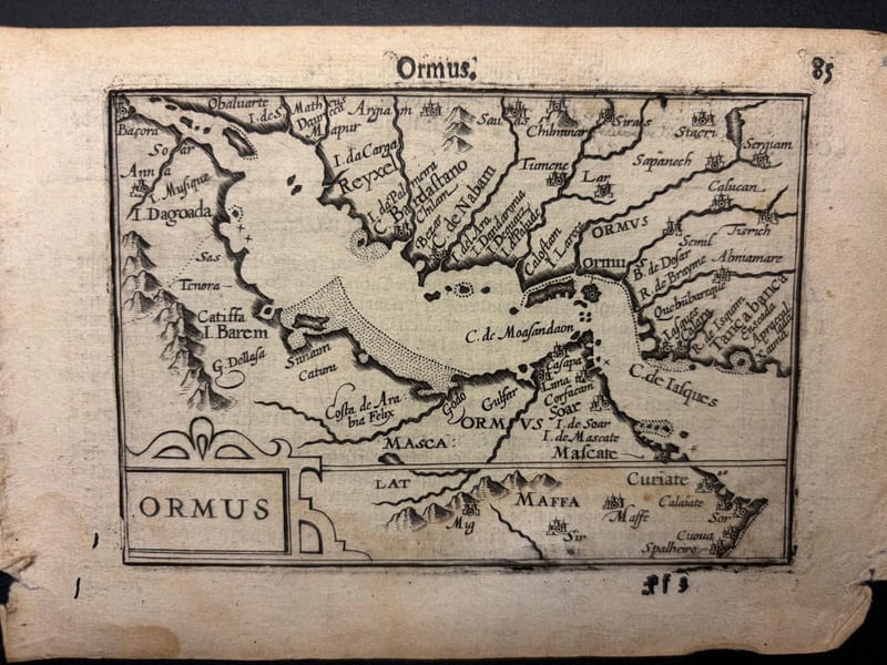
Ormus (Persian Gulf)
Barent Langenes (map engraved by Jodocus Hondius or Petrus Kaerius) · Middelburg · 1598
€ 5.500
Antique Maps · FM-0127
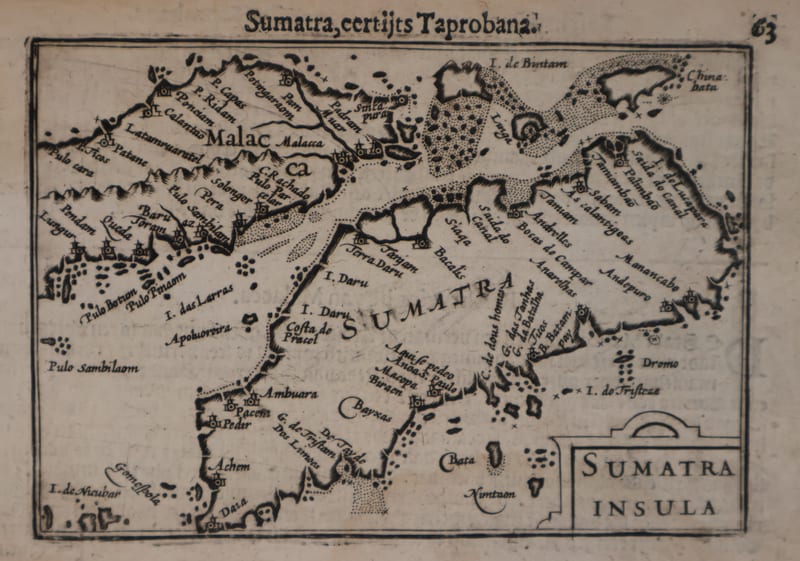
Malacca and Sumatra
Barent Langenes (maps engraved by Jodocus Hondius or Petrus Kaerius) · Middelburg · 1598
€ 2.200
Antique Maps · FM-0173
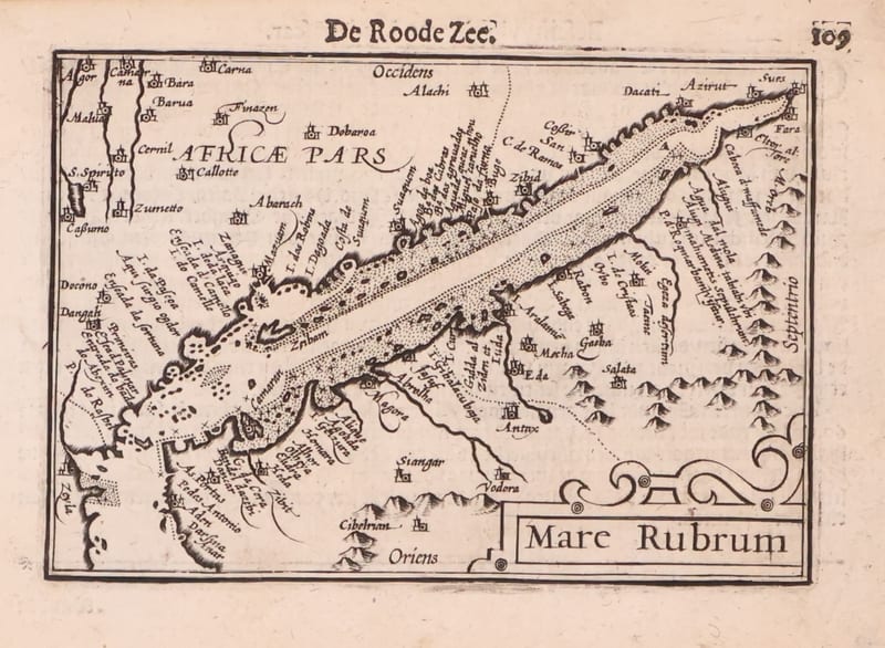
Mare Rubrum (the Red Sea)
Barent Langenes (map engraved by Jodocus Hondius or Petrus Kaerius) · Middelburg · 1598
€ 1.800
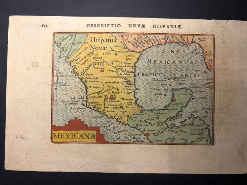
Antique Maps · FM-0166
Mexicana (Mexico and New Spain)
Petrus Bertius (plate engraved in the Van den Keere and Hondius workshop) · Amsterdam · 1602
€ 750
All 5 works: Barent Langenes and Petrus Bertius →