Collection › Cartographers, authors and themes
Barent Langenes and Petrus Bertius
The Caert-Thresoor, published by Barent Langenes at Middelburg in 1598 and sold by Cornelis Claesz in Amsterdam, was the first pocket atlas made in the Netherlands and the model for a genre that lasted half a century. Its 169 small copperplates, engraved in the workshop of Jodocus Hondius and Pieter van den Keere, cover the whole world in maps of about nine by twelve centimetres, each with a page of description. Petrus Bertius, the Leiden professor, took over the text for the Latin editions, the Tabularum geographicarum contractarum of 1600 and after, and the plates passed to Hondius and Janssonius, who reissued them until about 1650.
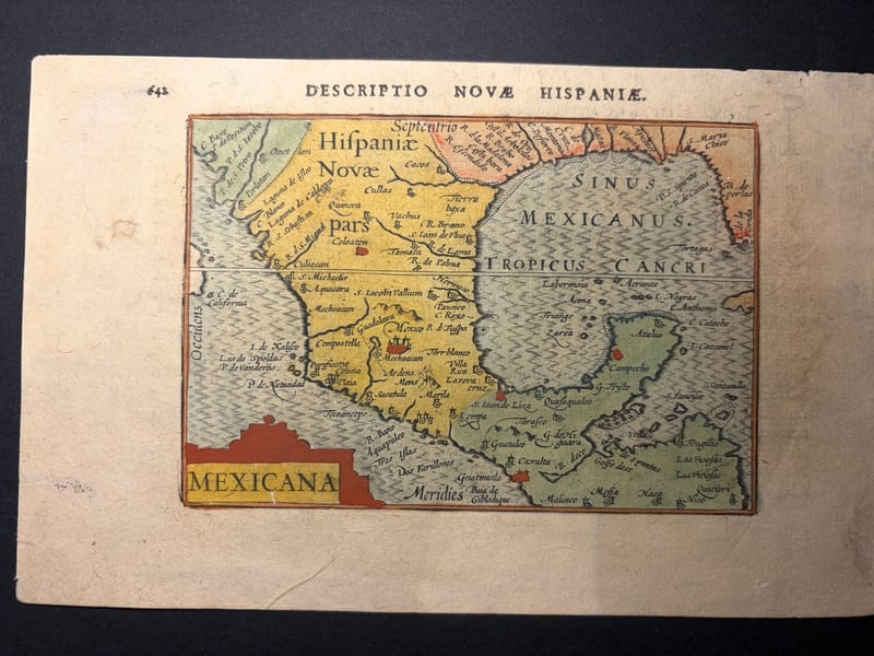
The charm of these maps lies in their scale: the Persian Gulf, Arabia, the Red Sea, Malacca and Sumatra, Mexico, each reduced to a jewel. The first edition of 1598, without the graticule of longitude and latitude, is the rarest state.
Our collection holds first-state maps from the 1598 Caert-Thresoor and coloured maps from the Bertius edition of 1602.
In our collection 5
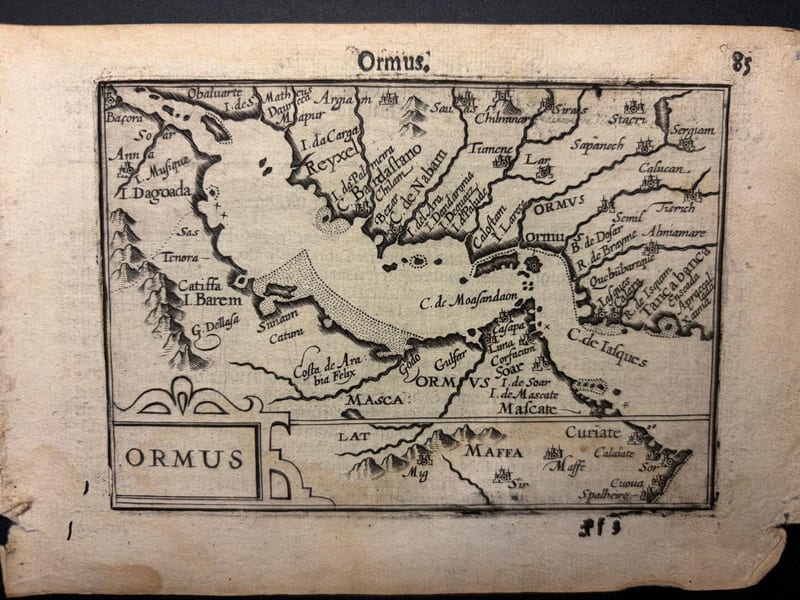
Ormus (Persian Gulf)
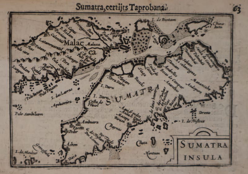
Malacca and Sumatra
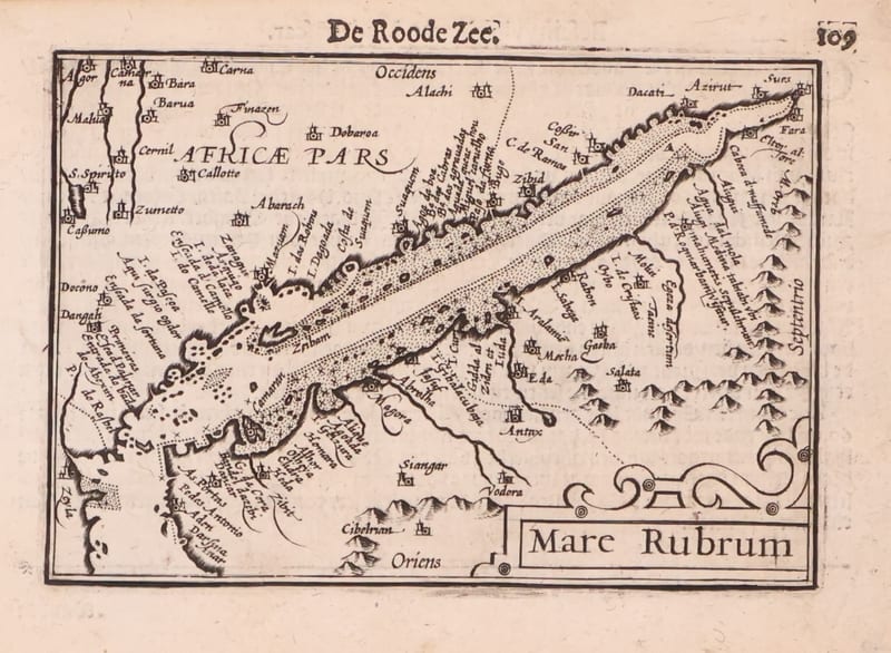
Mare Rubrum (the Red Sea)
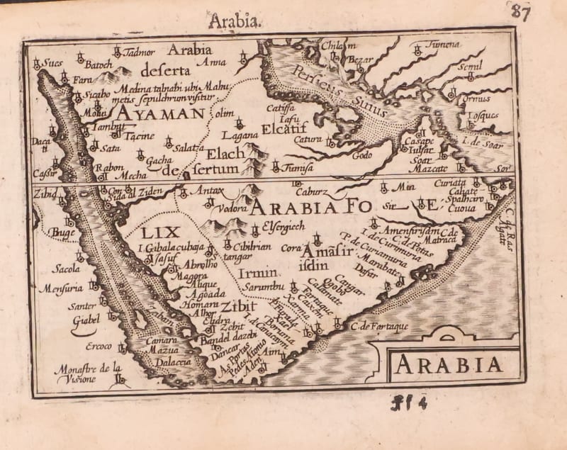
Arabia