Antique Maps
Sicilia (Sicily)
LANGENES, Barent; BERTIUS, Petrus; HONDIUS, Jodocus II · Amsterdam · Jodocus Hondius II · 1618 (plate of 1616)
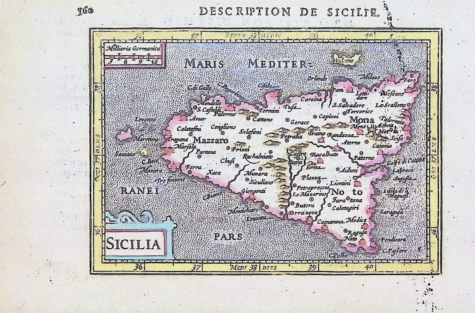
Miniature map of Sicily from Bertius' La Géographie racourcie, Amsterdam, Jodocus Hondius II, 1618, in old hand colour, with the French text on Sicily and Ischia.
FM-0203
€ 450
Key Properties
Edition: Petrus Bertius, La Géographie racourcie, Amsterdam, Jodocus Hondius II, 1618, the French edition of the Tabularum geographicarum contractarum, printed from the plates newly engraved for the Latin edition of 1616.
Map: 'Sicilia', title in a strapwork cartouche lower left, scale of German miles ('Milliaria Germanica') upper left, graduated border, the sea stippled, 'Vulcano' and the Aeolian islands to the north, the Egadi islands ('Levenzo', 'Maretimo') to the west; the three ancient divisions Mazzaro, Mona and Noto named.
Text: the map on page 360 under the heading 'Description de Sicilie', with the French text 'Description d'Ischie' (page 359) on the other side of the leaf.
Colour: old hand colour, the coast outlined in pink, the sea washed in blue, the border in yellow, the cartouche in blue and pink.
Dimensions: map 9.5 x 13.5 cm on a leaf of 12.5 x 19.5 cm.
Reference: Van der Krogt, Koeman's Atlantes Neerlandici, III, 342:11.
Collation & Technical Description
One leaf of the oblong small octavo, the map printed within the letterpress heading and pagination (page 360), French text on Ischia (page 359) on the other side. Copper engraving, 9.5 x 13.5 cm, the leaf 12.5 x 19.5 cm, with ample margins. Never folded.
Condition
Good. Old hand colour, bright. A few light ink or fox spots in the lower right of the leaf and a little show-through of the letterpress from the other side, otherwise clean. Ample margins, never folded.
References & Bibliography
Van der Krogt, Koeman's Atlantes Neerlandici, III, 342:11 (the map) and atlas 342 (Bertius, French edition, Hondius 1618).
Description
A miniature map of Sicily from La Géographie racourcie, the French edition of Petrus Bertius' pocket atlas published by Jodocus Hondius II at Amsterdam in 1618. The atlas descends from the Caert-Thresoor of Barent Langenes (Middelburg 1598), whose small maps were re-engraved for the Latin editions of Bertius' Tabularum geographicarum contractarum. For the edition of 1616 Hondius had the whole set of maps engraved anew on a slightly larger scale, and these Hondius plates were used again for the French edition of 1618 from which this leaf comes.
The island is shown with its three ancient valli, Mazzaro (Val di Mazara), Mona (Val Demone) and Noto (Val di Noto), Etna ('Mons Aethna') smoking in the north-east, the mountain chains drawn as molehills and the principal towns, Palermo, Messina, Catania, Siracusa, Trapani and Marsala, marked with small town signs. The Aeolian islands, with 'Vulcano', lie to the north and the Egadi islands to the west; the sea is stippled and a strapwork cartouche holds the title. The map is printed on the text page of the atlas, under the running head 'Description de Sicilie', and the French description of the island of Ischia stands on the other side of the leaf.
This copy is in old hand colour, the coast outlined in pink, the sea washed in blue and the border in yellow.
Historical Significance
The pocket atlases of Langenes, Bertius and Hondius were the first cheap, portable world atlases, and they carried the cartography of the Antwerp and Amsterdam workshops to a readership that could never have afforded Ortelius or Mercator. Sicily, the granary of the Spanish Mediterranean and a Spanish viceroyalty, appears in them in the small format that scholars, merchants and travellers could keep in a pocket. The Hondius plates of 1616 are the last and finest of the three sets of Bertius maps, and the French edition of 1618 is the rarer of the two issues printed from them.
Provenance
Frederik Muller Rare Books, Amsterdam (stock of the firm).
Related works
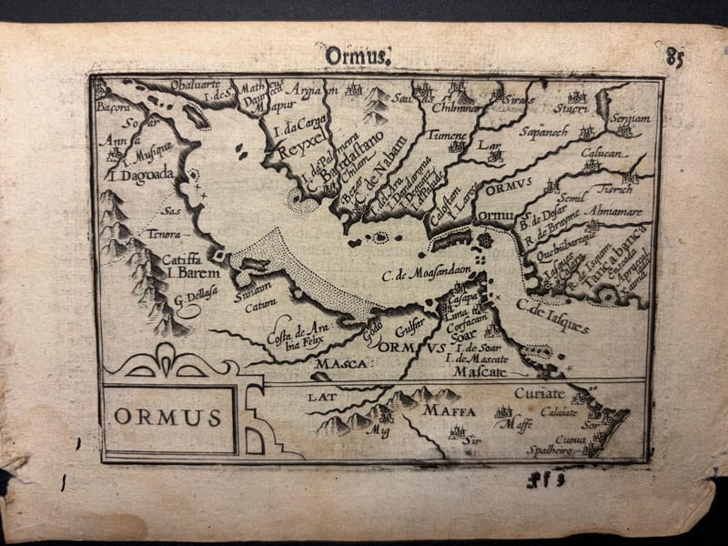
Antique Maps · FM-0098
Ormus (Persian Gulf)
Barent Langenes (map engraved by Jodocus Hondius or Petrus Kaerius) · Middelburg · 1598
€ 5.500
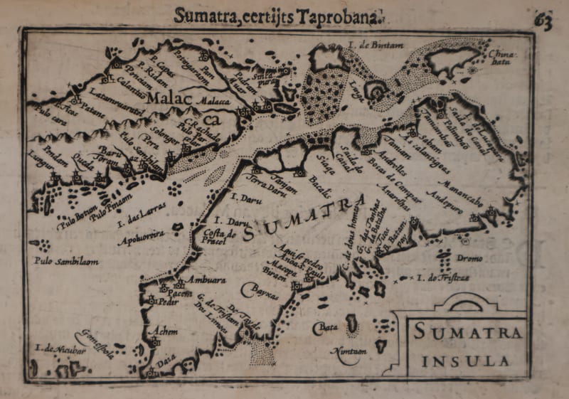
Antique Maps · FM-0127
Malacca and Sumatra
Barent Langenes (maps engraved by Jodocus Hondius or Petrus Kaerius) · Middelburg · 1598
€ 2.200
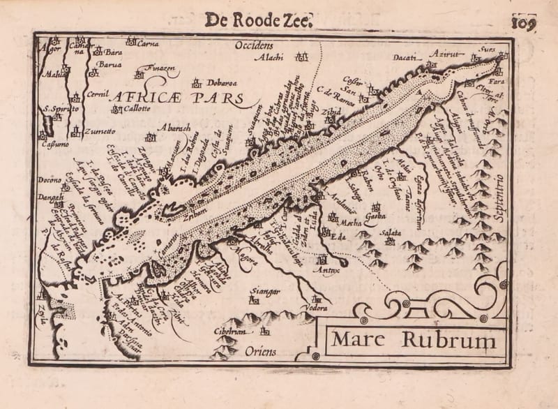
Antique Maps · FM-0173
Mare Rubrum (the Red Sea)
Barent Langenes (map engraved by Jodocus Hondius or Petrus Kaerius) · Middelburg · 1598
€ 1.800
Antique Maps · FM-0123
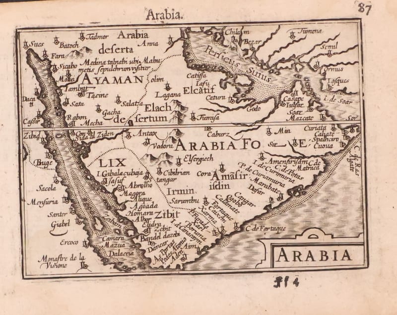
Arabia
Barent Langenes (map engraved by Jodocus Hondius or Petrus Kaerius) · Middelburg · 1598
€ 1.200
All 7 works: Barent Langenes and Petrus Bertius →