Antique Maps
Asia
Barent Langenes (map engraved by Jodocus Hondius or Petrus Kaerius) · Middelburg · Barent Langenes, for sale at Cornelis Claesz, Amsterdam · 1598
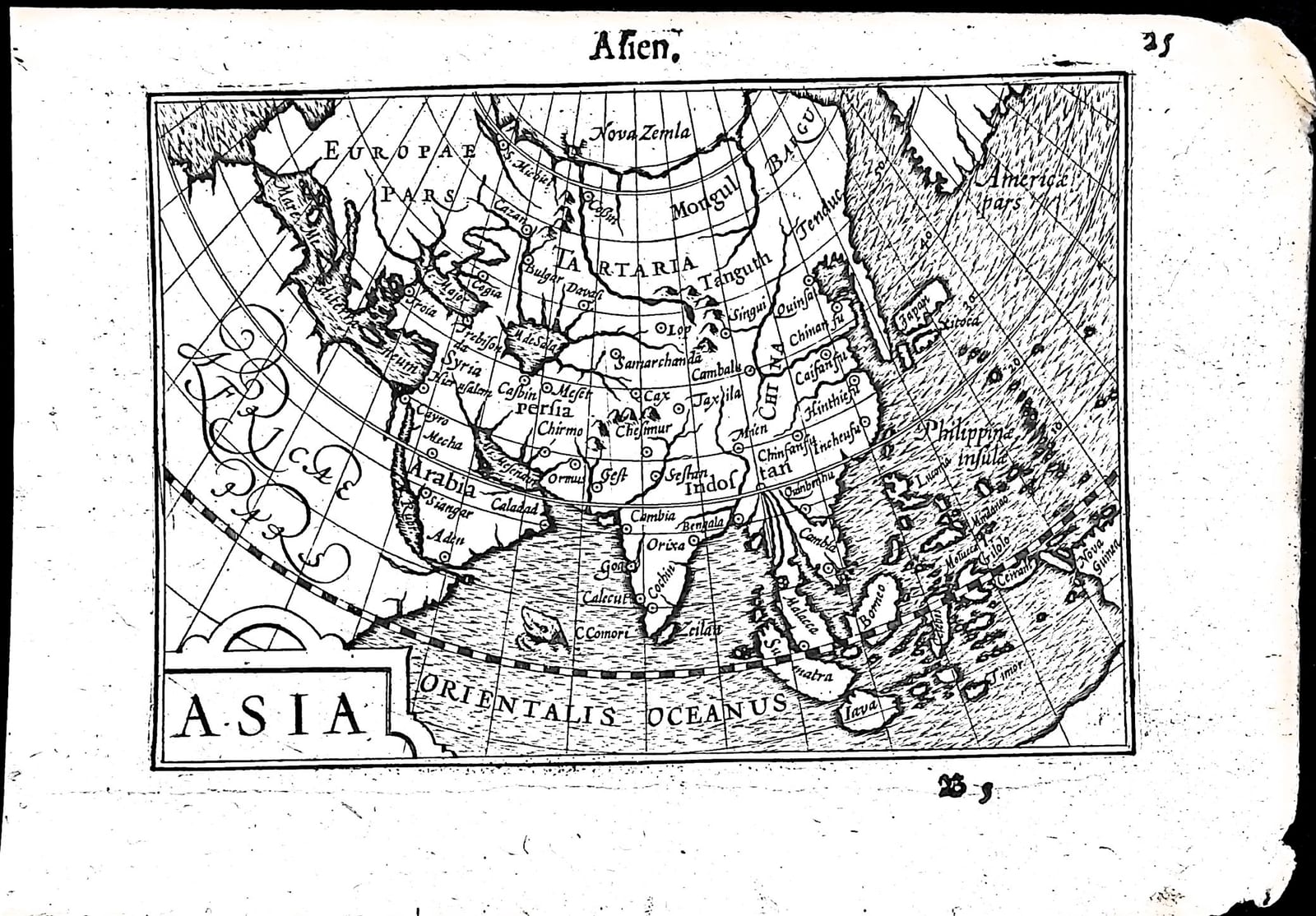
The continent of Asia from the Mediterranean to Japan and New Guinea, with the beginning of the Dutch description of Asia on the verso, from the first edition of the Caert-Thresoor, Middelburg 1598
FM-0227
€ 350
Key Properties
Edition: First edition, Dutch text, 1598
Map: 'Asia', title in a strapwork cartouche lower left; drawn on a graticule of curved meridians and parallels
Position: p. 25 (signature B5), headed 'Asien'
Text: verso p. 26, Beschryvinghe van Asien
Format: Copperplate engraving on a leaf of the oblong octavo atlas
Colouring: Uncoloured
Collation & Technical Description
One leaf from the Caert-Thresoor: the map on p. 25 (B5), headed 'Asien', and on the verso, p. 26, part of the Dutch Beschryvinghe van Asien. The continent is drawn on a graticule of curved meridians and parallels, from Europae pars and Africae pars in the west to Japan, the Philippinae insulae and Nova Guinea in the east, with Americae pars across the narrow sea in the north-east. Named are Nova Zemla, Tartaria, Mongul and Tanguth, China with Cambalu and Quinsai, Samarchanda, Persia with Ormus, Arabia with Mecha and Aden, Syria with Hierusalem, Troia, India with Goa, Calecut, Cochin and Bengala, Zeilan, Malacca, Sumatra, Borneo, Iava, Gilolo and the Moluccas, and the Orientalis Oceanus.
The Dutch text on p. 26 sets out the bounds of Asia, the Eous ocean to the east, the Indian to the south and the Scythian to the north; the Taurus range running through it from west to east; Asia held to be as large as Europe and Africa together, yet less populous, desolated by the rule of the Turk; the wealth that overcame Roman frugality; and the memories of the continent: Nimrod's tower and the confusion of tongues, Queen Semiramis, and Troy, from which the peoples of Europe liked to trace their origin and Rome its founder Romulus.
Condition
Damage along the inner (spine-side) edge; the upper and lower right corners affected. Otherwise in good condition.
References & Bibliography
Van der Krogt, Koeman's Atlantes Neerlandici, III, 341:01 (the atlas). Koeman, Atlantes Neerlandici, II, p. 254, Lan 1. Schilder, Monumenta Cartographica Neerlandica, VII, 16.1. Burger, Het Caert-Thresoor (1930). King, Miniature Antique Maps (1996).
Description
A small map of the continent of Asia from the first edition of Barent Langenes's Caert-Thresoor, the first Dutch pocket atlas, Middelburg 1598, with the beginning of the Dutch description of Asia on the verso.
On a few square inches it gives the whole picture of Asia as the Dutch knew it on the eve of their first great voyages: Tartary and China, Japan and the Philippines, the spice islands and New Guinea in the east, and the coast of America just across the sea in the north-east.
The Caert-Thresoor was the first Dutch pocket atlas: small copperplate maps by Pieter van den Keere (Petrus Kaerius) and Jodocus Hondius, each with a description of the country in Dutch, in an oblong octavo meant to be cheaper and handier than the great folio atlases of Ortelius and Mercator. It appeared in 1598, a year after the first Dutch voyage to the East Indies had returned, and it brought the geography of the whole known world within reach of a wider public. The plates proved durable: Petrus Bertius reused them for the Latin Tabularum geographicarum contractarum from 1600 and a French edition followed in 1602, so that the Dutch text of 1598 is the first and earliest form in which these maps were issued.
Historical Significance
In 1598 Asia was the object of every Dutch ambition: the first fleet had come back from Java the year before and new companies were fitting out ships in Amsterdam, Rotterdam and Zeeland. The continental map that opened the Asian part of a Dutch pocket atlas was the overview a merchant, investor or sailor of that moment would have consulted.
Provenance
Available on request.
Related works
Antique Maps · FM-0098
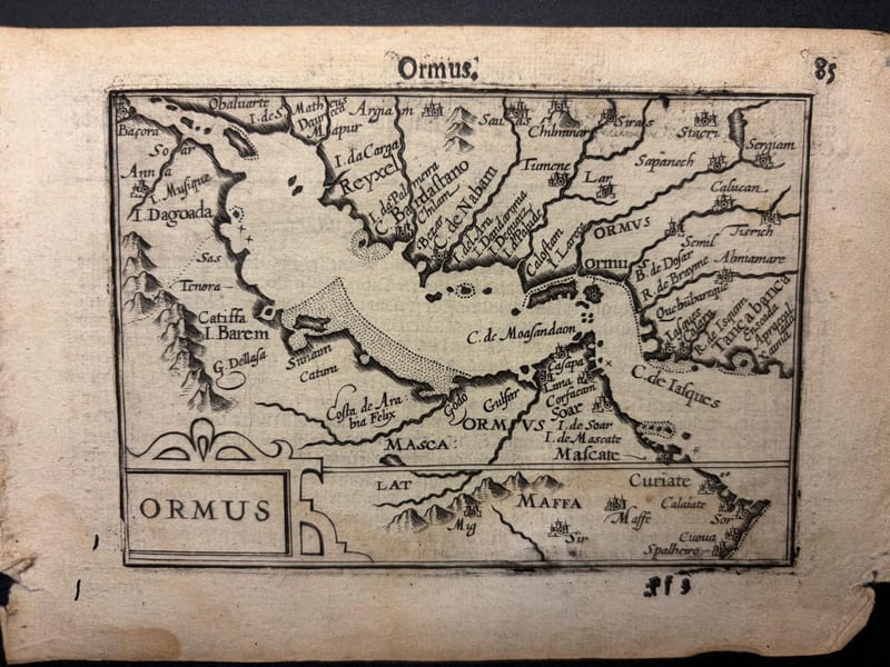
Ormus (Persian Gulf)
Barent Langenes (map engraved by Jodocus Hondius or Petrus Kaerius) · Middelburg · 1598
€ 5.500
Antique Maps · FM-0127
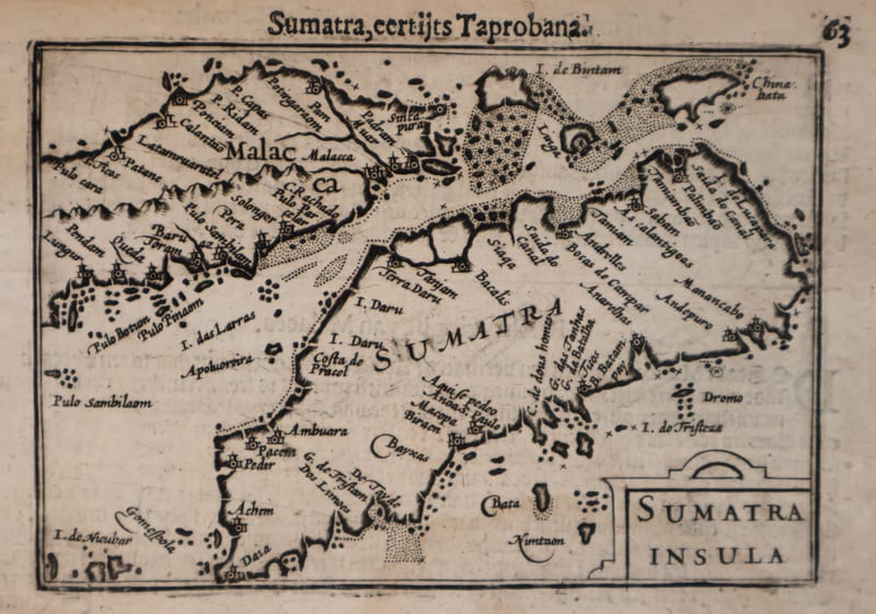
Malacca and Sumatra
Barent Langenes (maps engraved by Jodocus Hondius or Petrus Kaerius) · Middelburg · 1598
€ 2.200
Antique Maps · FM-0173
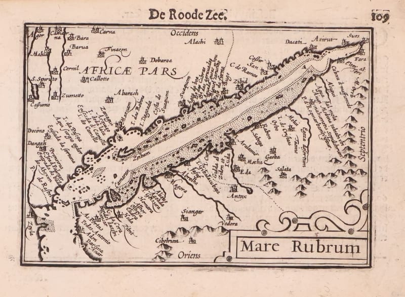
Mare Rubrum (the Red Sea)
Barent Langenes (map engraved by Jodocus Hondius or Petrus Kaerius) · Middelburg · 1598
€ 1.800
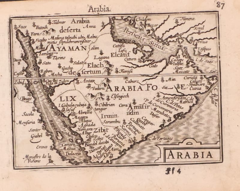
Antique Maps · FM-0123
Arabia
Barent Langenes (map engraved by Jodocus Hondius or Petrus Kaerius) · Middelburg · 1598
€ 1.200
All 20 works: Barent Langenes and Petrus Bertius →