Antique Maps
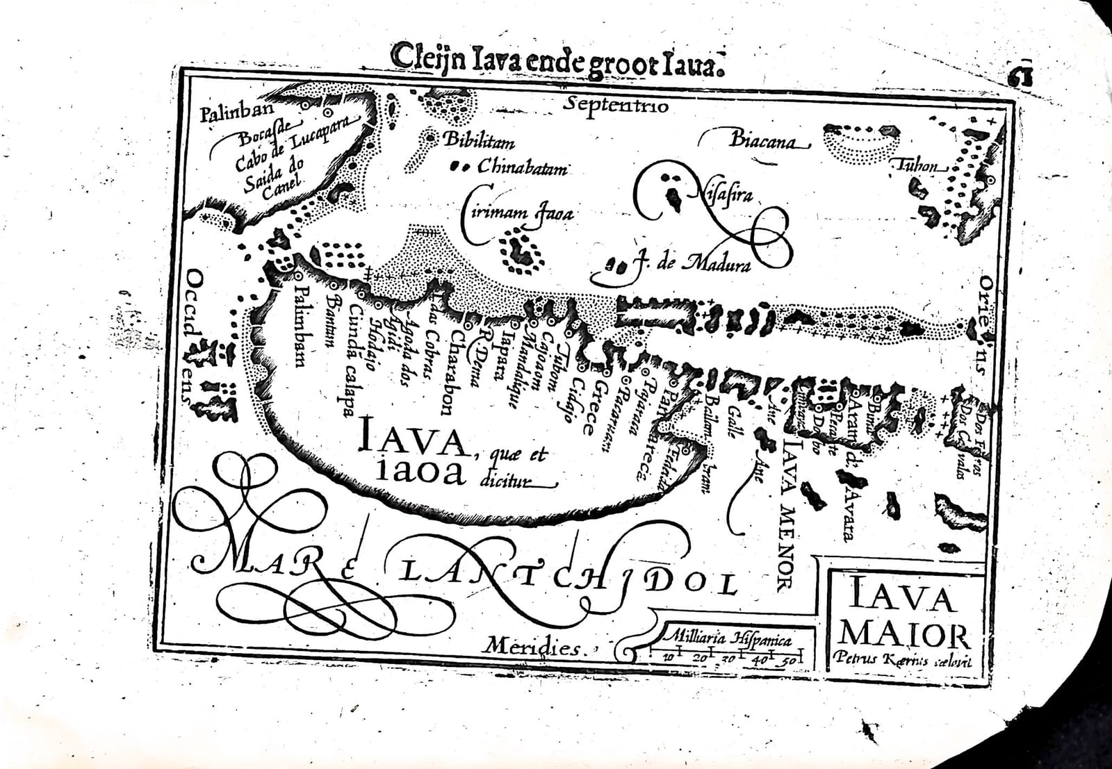
Iava Maior (Cleijn Iava ende groot Iava, Java)
Barent Langenes (map engraved by Petrus Kaerius) · Middelburg · Barent Langenes, for sale at Cornelis Claesz, Amsterdam · 1598
Java with Bantam and Sunda Kelapa, the later Batavia, engraved by Pieter van den Keere, with the Dutch descriptions of Java and Sumatra on the verso, from the first edition of the Caert-Thresoor, Middelburg 1598
FM-0234
€ 450
Key Properties
Edition: First edition, Dutch text, 1598
Map: 'Iava Maior', title in a cartouche lower right, signed 'Petrus Kaerius caelavit', with a scale of Spanish miles (Milliaria Hispanica)
Position: part two, p. 61 (signature Dd7), headed 'Cleijn Iava ende groot Iava'
Text: verso p. 62, the end of the Beschryvinghe van cleijn Iava ende groot Iava and the beginning of the Beschryvinghe van Sumatra, eertijts Taprobana
Format: Copperplate engraving on a leaf of the oblong octavo atlas
Colouring: Uncoloured
Collation & Technical Description
One leaf from the Caert-Thresoor: the map on p. 61 (Dd7), headed 'Cleijn Iava ende groot Iava', and on the verso, p. 62, the end of the Dutch description of Java and the beginning of that of Sumatra. North is at the top (Septentrio). The map shows Java ('Iava, quae et iaoa dicitur') with the towns of its north coast, Bantam, Cunda calapa (Sunda Kelapa), Charabon, Iapara, Tubom, Grece, Pacaruan and Panarucan among them, the island of Madura, Iava Menor to the east, the south-eastern tip of Sumatra with Palinban, the shoals and islands of the Java Sea, and the Mare Lantchidol to the south.
The Dutch text on p. 62 ends with Java Minor, lying further south and east and still half unknown, said to bear many spices and to be two thousand miles round. Under its own heading follows Sumatra, formerly Taprobana: the greatest of the eastern islands, separated from Malacca by a narrow and dangerous sea, lying under the equator, held by some to be the ancient Taprobana or the Aurea Chersonesus, with its rice, wax, honey, camphor and cassia, its pepper and cotton, its gold, tin, iron and sulphur, a spring of petroleum or balsam, burning mountains and the greatest war elephants.
Condition
Partial damage to the margins on the right side, with slight discolouration; a small puncture near the lower right.
References & Bibliography
Van der Krogt, Koeman's Atlantes Neerlandici, III, 341:01 (the atlas). Koeman, Atlantes Neerlandici, II, p. 254, Lan 1. Schilder, Monumenta Cartographica Neerlandica, VII, 16.1. Burger, Het Caert-Thresoor (1930). King, Miniature Antique Maps (1996).
Description
A small map of Java, engraved and signed by Pieter van den Keere, from the first edition of Barent Langenes's Caert-Thresoor, the first Dutch pocket atlas, Middelburg 1598, with the Dutch texts on Java and Sumatra on the verso.
The north coast of Java is lined with the trading towns the first Dutch fleet had visited in 1596 and 1597: Bantam, where Cornelis de Houtman bought his pepper, and Cunda calapa, Sunda Kelapa, the harbour on which the Dutch East India Company would found Batavia, today's Jakarta, in 1619.
The Caert-Thresoor was the first Dutch pocket atlas: small copperplate maps by Pieter van den Keere (Petrus Kaerius) and Jodocus Hondius, each with a description of the country in Dutch, in an oblong octavo meant to be cheaper and handier than the great folio atlases of Ortelius and Mercator. It appeared in 1598, a year after the first Dutch voyage to the East Indies had returned, and it brought the geography of the whole known world within reach of a wider public. The plates proved durable: Petrus Bertius reused them for the Latin Tabularum geographicarum contractarum from 1600 and a French edition followed in 1602, so that the Dutch text of 1598 is the first and earliest form in which these maps were issued.
Historical Significance
Java was the goal of the first Dutch voyage to the East Indies, which reached Bantam in June 1596 and returned to Amsterdam in 1597. This map, published the following year, set before Dutch readers the island on which their trading empire in Asia would be built.
Provenance
Available on request.
Related works
Antique Maps · FM-0098
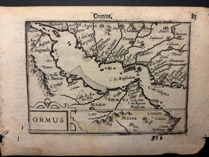
Ormus (Persian Gulf)
Barent Langenes (map engraved by Jodocus Hondius or Petrus Kaerius) · Middelburg · 1598
€ 5.500
Antique Maps · FM-0127
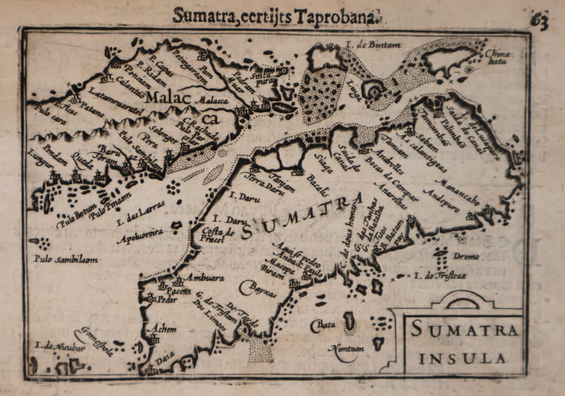
Malacca and Sumatra
Barent Langenes (maps engraved by Jodocus Hondius or Petrus Kaerius) · Middelburg · 1598
€ 2.200
Antique Maps · FM-0173
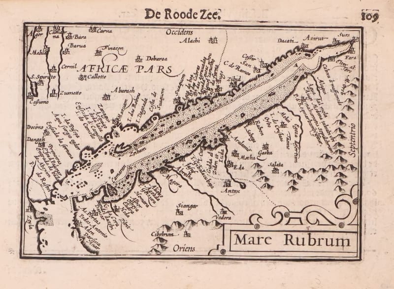
Mare Rubrum (the Red Sea)
Barent Langenes (map engraved by Jodocus Hondius or Petrus Kaerius) · Middelburg · 1598
€ 1.800
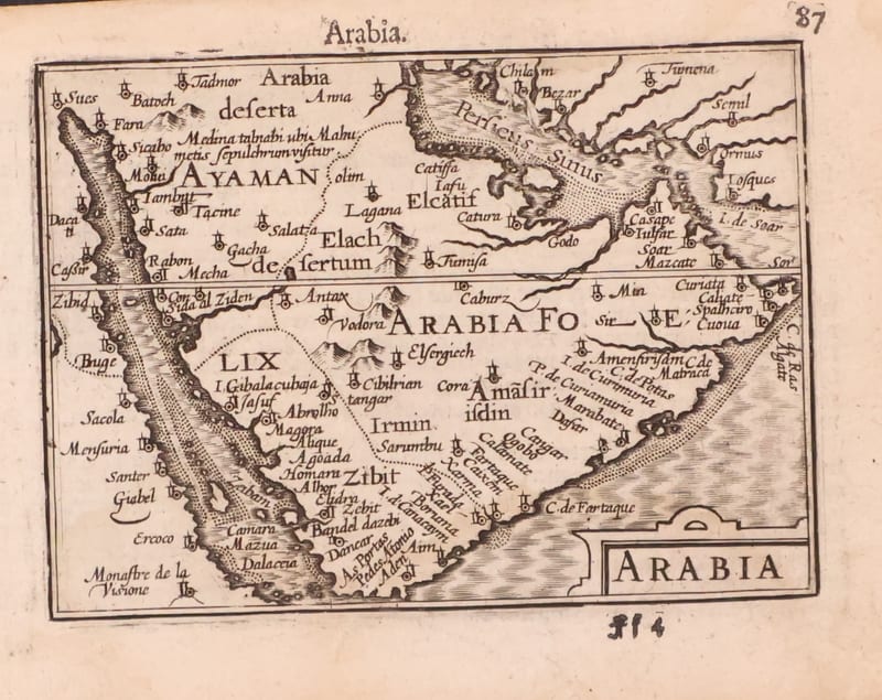
Antique Maps · FM-0123
Arabia
Barent Langenes (map engraved by Jodocus Hondius or Petrus Kaerius) · Middelburg · 1598
€ 1.200
All 20 works: Barent Langenes and Petrus Bertius →