Antique Maps
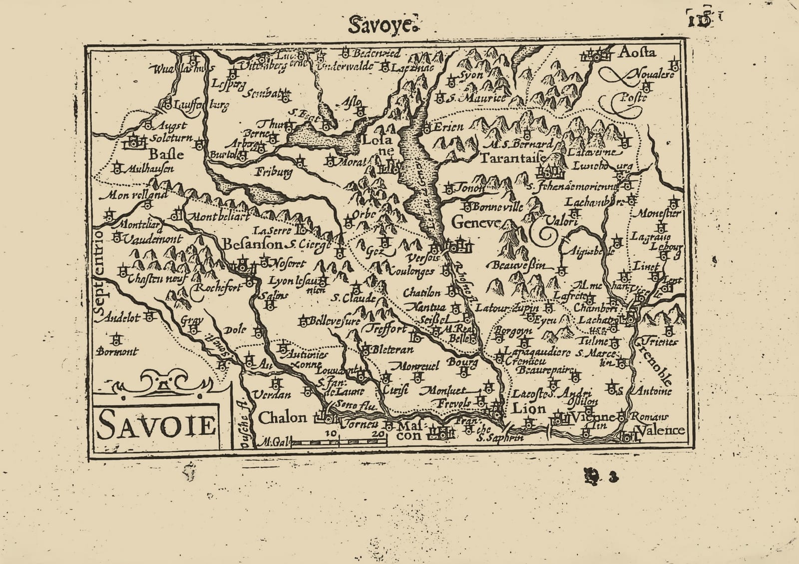
Savoie (Savoye, the Duchy of Savoy)
Barent Langenes (map engraved by Jodocus Hondius or Petrus Kaerius) · Middelburg · Barent Langenes, for sale at Cornelis Claesz, Amsterdam · 1598
The Duchy of Savoy between Lake Geneva and the Alps, with the Dutch description of Savoy on the verso, from the first edition of the Caert-Thresoor, Middelburg 1598
FM-0241
€ 175 VAT included (margin scheme)
Free insured shipping. The price shown is the price you pay.
Key Properties
Edition: First edition, Dutch text, 1598
Map: 'Savoie', title in a cartouche lower left, with a scale beside it to the right
Position: p. 115 (signature H2), headed 'Savoye'
Text: verso p. 116, the beginning of the Beschryvinge van Savoyen
Format: Copperplate engraving on a leaf of the oblong octavo atlas
Colouring: Uncoloured
Collation & Technical Description
One leaf from the Caert-Thresoor: the map on p. 115 (H2), headed 'Savoye', and on the verso, p. 116, the opening of the Dutch description of Savoy. The map shows the region with its principal towns and terrain, the cartouche 'Savoie' lower left with a scale beside it.
Condition
Excellent. Minor damage to the upper right margin; slight discolouration of the margin.
References & Bibliography
Van der Krogt, Koeman's Atlantes Neerlandici, III, 341:01 (the atlas). Koeman, Atlantes Neerlandici, II, p. 254, Lan 1. Schilder, Monumenta Cartographica Neerlandica, VII, 16.1. Burger, Het Caert-Thresoor (1930). King, Miniature Antique Maps (1996).
Description
A small map of the Duchy of Savoy from the first edition of Barent Langenes's Caert-Thresoor, the first Dutch pocket atlas, Middelburg 1598, with the opening of the Dutch description on the verso.
Savoy, on the French side of the Alps with its old capital at Chambéry, controlled the passes between France and Italy; its dukes had moved their seat to Turin in 1563.
The Caert-Thresoor was the first Dutch pocket atlas: small copperplate maps by Pieter van den Keere (Petrus Kaerius) and Jodocus Hondius, each with a description of the country in Dutch, in an oblong octavo meant to be cheaper and handier than the great folio atlases of Ortelius and Mercator. It appeared in 1598, a year after the first Dutch voyage to the East Indies had returned, and it brought the geography of the whole known world within reach of a wider public. The plates proved durable: Petrus Bertius reused them for the Latin Tabularum geographicarum contractarum from 1600 and a French edition followed in 1602, so that the Dutch text of 1598 is the first and earliest form in which these maps were issued.
Historical Significance
Savoy lay on the Spanish Road, the overland route by which Spanish troops marched from Italy to the Low Countries, which gave this Alpine duchy a direct bearing on the war the Dutch were fighting.
Provenance
Available on request.
Related works
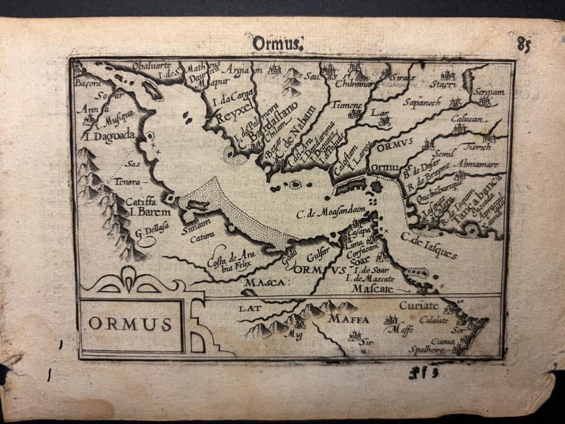
Antique Maps · FM-0098
Ormus (Persian Gulf)
Barent Langenes (map engraved by Jodocus Hondius or Petrus Kaerius) · Middelburg · 1598
€ 5.500
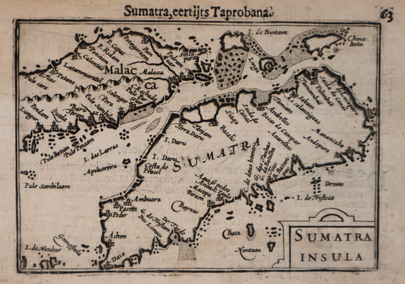
Antique Maps · FM-0127
Malacca and Sumatra
Barent Langenes (maps engraved by Jodocus Hondius or Petrus Kaerius) · Middelburg · 1598
€ 2.200
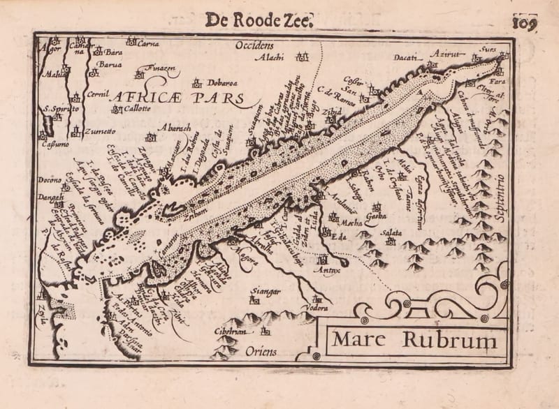
Antique Maps · FM-0173
Mare Rubrum (the Red Sea)
Barent Langenes (map engraved by Jodocus Hondius or Petrus Kaerius) · Middelburg · 1598
€ 1.800
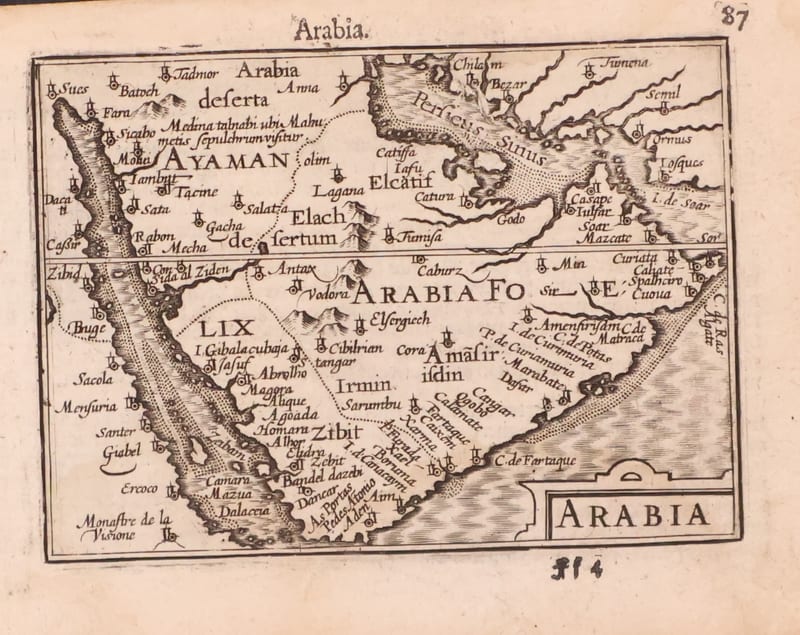
Antique Maps · FM-0123
Arabia
Barent Langenes (map engraved by Jodocus Hondius or Petrus Kaerius) · Middelburg · 1598
€ 1.200
All 40 works: Barent Langenes and Petrus Bertius →