Antique Maps
Pedemontii descriptio (Piedmont)
Petrus Bertius (plate engraved for Barent Langenes in the Van den Keere and Hondius workshop) · Amsterdam · Cornelis Claesz · c. 1600-1606
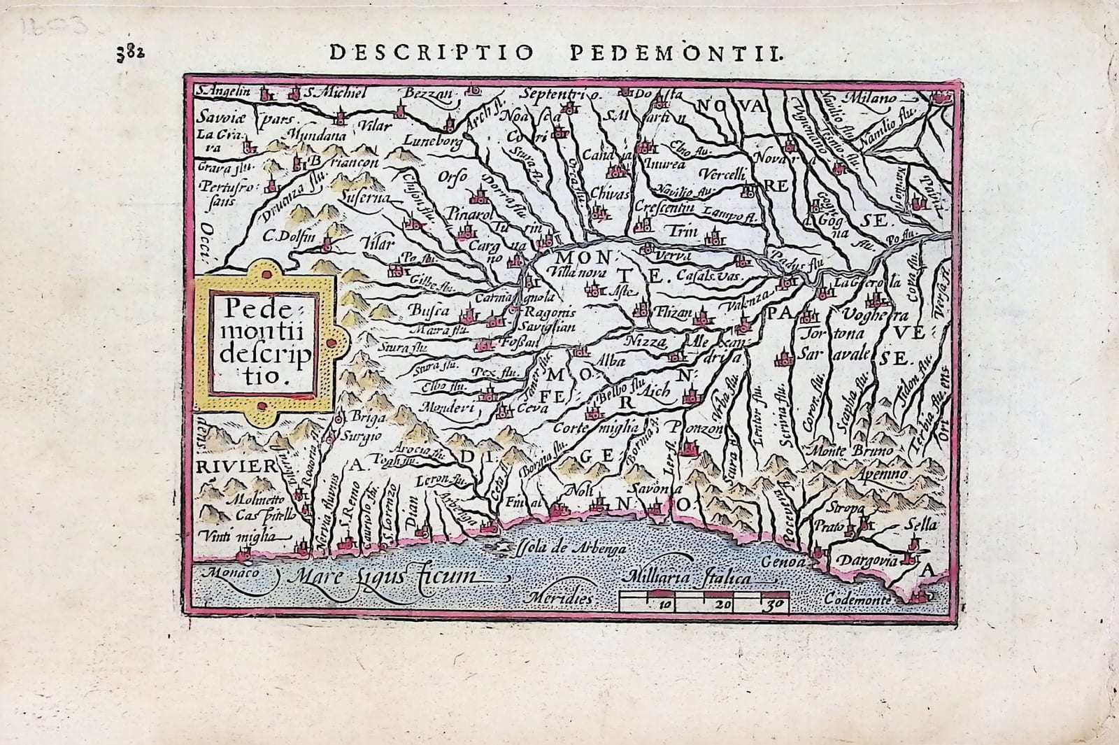
A small map of Piedmont and the Ligurian coast from Monaco to Genoa, with Turin, Asti, Alba, Vercelli and Ivrea, from an early Latin edition of Petrus Bertius's pocket atlas, with the Latin description of Piedmont on the other side of the leaf
FM-0260
€ 300 VAT included (margin scheme)
Free insured shipping. The price shown is the price you pay.
Key Properties
Edition: early Latin edition of Petrus Bertius's Tabularum geographicarum contractarum, Amsterdam, Cornelis Claesz (the exact edition not determined; a pencil note '1603' in the upper left margin)
Map: 'Pedemontii descriptio', title in a strapwork cartouche at the left, scale of Milliaria Italica lower right; north at the top
Position: p. 382, headed 'Descriptio Pedemontii'
Text: p. 381, headed 'Descriptio Pedemontii', with the opening of the Latin description; catchword 'Non'
Language: Latin
Technique: copper engraving with later hand colouring
Map: approximately 9 x 12 cm
Collation & Technical Description
One leaf from the atlas: the map on p. 382 and, on the other side, p. 381, with the end of the preceding description and the opening of the Latin description of Piedmont.
Condition
Good. Some age toning.
References & Bibliography
Van der Krogt, Koeman's Atlantes Neerlandici, III (the Tabularum geographicarum contractarum). Koeman, Atlantes Neerlandici, II, Lan (Bertius). Schilder, Monumenta Cartographica Neerlandica, VII, on the Langenes and Bertius pocket atlases.
Description
A small map of Piedmont from the Latin edition of the pocket atlas that Petrus Bertius made from Barent Langenes's Caert-Thresoor, with the opening of the Latin description of the region on the other side of the leaf.
The map covers the upper basin of the Po, from Savoy and Briançon in the west to Milan and the Pavese in the east. Turin, Carignano, Savigliano, Asti, Alba, Vercelli, Ivrea and Alessandria are marked, Montferrat is named across the centre, and the rivers run down from the Alps to the Po. Along the bottom the Riviera di Genova runs from Monaco past Ventimiglia, San Remo, Albenga, Finale and Savona to Genoa.
Bertius's text derives the name Pedemontana from the region's position at the foot of the Alps, and gives its borders: the Po to the east, the Ligurian Alps to the south, the French Alps to the west and the Dora to the north. It describes Turin, the old Roman colony of Augusta Taurinorum, as notable for its university and as the seat of the prince, recalls the gold mines of Vercelli, names Ivrea as the Eporedia of Ptolemy, Strabo and Tacitus, and places the sources of the Po on Monte Viso, ending with Lucan's line that the Po would be no smaller than the Nile. The page opens with the end of the preceding description, quoting Pliny the Younger's account of an intermittent spring.
The plates were engraved in Amsterdam for Langenes's Dutch Caert-Thresoor of 1598. From 1600 Cornelis Claesz reissued them with a new Latin text by Petrus Bertius, the Leiden scholar who later became cosmographer to Louis XIII, under the title Tabularum geographicarum contractarum. The Latin edition carried the little maps to readers across Europe.
Historical Significance
The Langenes and Bertius pocket atlases were among the most widely used small-format atlases of the decades around 1600, and their maps of the Italian regions gave travellers and students a portable picture of a peninsula then divided among many states.
Provenance
Available on request.
Related works
Antique Maps · FM-0098
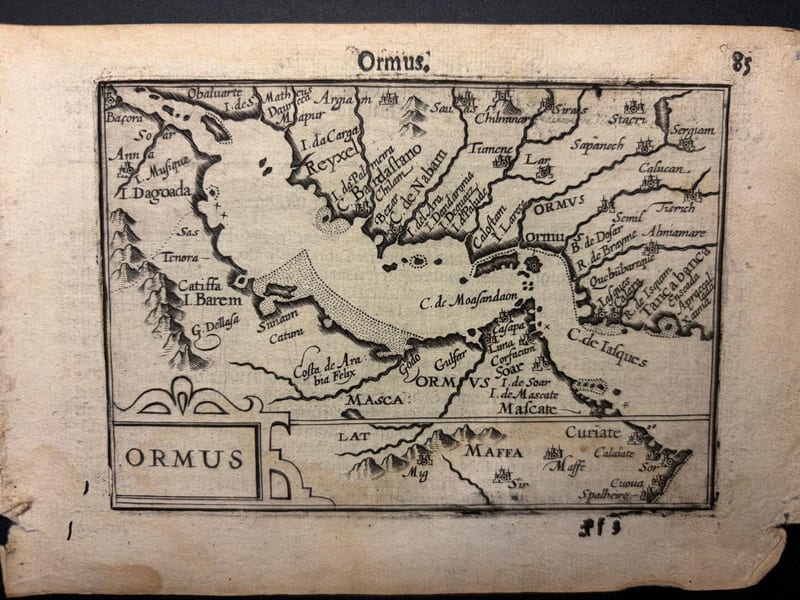
Ormus (Persian Gulf)
Barent Langenes (map engraved by Jodocus Hondius or Petrus Kaerius) · Middelburg · 1598
€ 5.500
Antique Maps · FM-0127
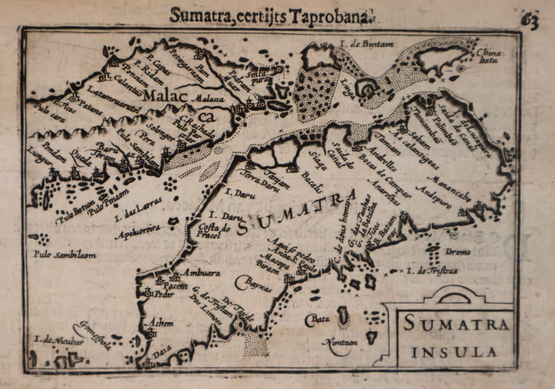
Malacca and Sumatra
Barent Langenes (maps engraved by Jodocus Hondius or Petrus Kaerius) · Middelburg · 1598
€ 2.200
Antique Maps · FM-0173
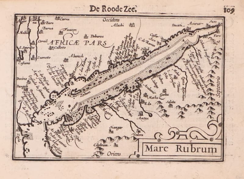
Mare Rubrum (the Red Sea)
Barent Langenes (map engraved by Jodocus Hondius or Petrus Kaerius) · Middelburg · 1598
€ 1.800
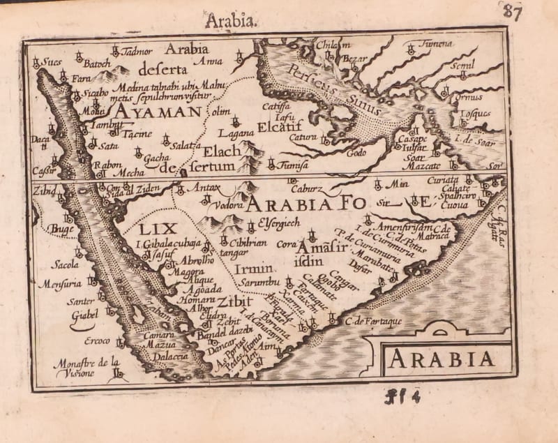
Antique Maps · FM-0123
Arabia
Barent Langenes (map engraved by Jodocus Hondius or Petrus Kaerius) · Middelburg · 1598
€ 1.200
All 41 works: Barent Langenes and Petrus Bertius →