Antique Maps
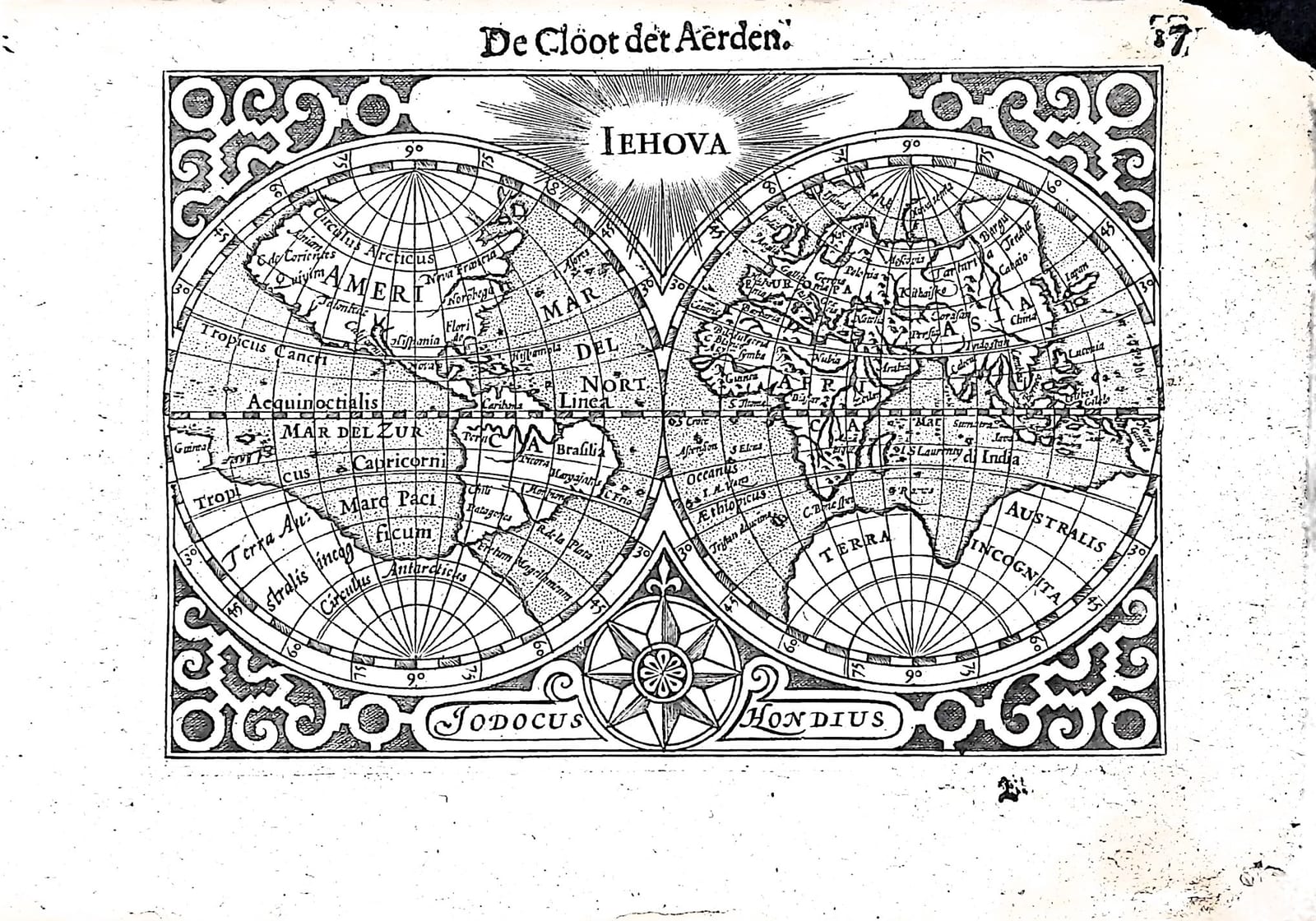
Iehova: De Cloot der Aerden (the world in two hemispheres)
Barent Langenes (map engraved by Jodocus Hondius) · Middelburg · Barent Langenes, for sale at Cornelis Claesz, Amsterdam · 1598
The world in two hemispheres beneath the name Iehova, signed by Jodocus Hondius, with the Dutch description of the globe on the verso, from the first edition of the Caert-Thresoor, Middelburg 1598
FM-0235
€ 595
Key Properties
Edition: First edition, Dutch text, 1598
Map: double-hemisphere world map in a strapwork frame, 'Iehova' in a burst of light at the top, a compass rose at the foot between the cartouches 'Iodocus' and 'Hondius'
Position: p. 17 (signature B), headed 'De Cloot der Aerden'
Text: verso p. 18, Beschryvinghe vande Cloot der Aerden
Format: Copperplate engraving on a leaf of the oblong octavo atlas
Colouring: Uncoloured
Collation & Technical Description
One leaf from the Caert-Thresoor: the map on p. 17 (signature B), headed 'De Cloot der Aerden', and on the verso, p. 18, part of the Dutch description of the globe. The two hemispheres are drawn on a graticule numbered at 15-degree intervals, with the polar circles, the tropics and the equator (Aequinoctialis linea). The western hemisphere shows America with Anian, Nova Francia, Norumbega, Florida, Hispania, Brasilia, Chili, the Patagones, the Rio de la Plata and the Fretum Magellanicum, with the Mar del Nort, Mar del Zur and Mare Pacificum; the eastern hemisphere Europe, Africa and Asia with China, Iapan, India, Sumatra, Java and Nova Guinea; and the great Terra Australis incognita fills the south of both. The name Iehova shines at the top, a compass rose stands between the hemispheres at the foot, flanked by the signature Iodocus Hondius, and strapwork fills the corners.
The Dutch text on p. 18 calculates the size of the earth: fifteen Dutch miles to a degree, so 5,400 miles round; at four miles a day a journey round the world would take 1,350 days, or three years and 260 days, were it not that the earth is not yet fully discovered and more than a third is covered by water. It then sets out the five zones, the two frigid, the torrid and the two temperate, and the old belief that the cold and the hot zones were uninhabitable, with three lines of Horace in Dutch verse.
Condition
Slight discolouration and damage along the inner (spine-side) edge; the upper and lower right corners damaged.
References & Bibliography
Shirley, The Mapping of the World, no. 182. Van der Krogt, Koeman's Atlantes Neerlandici, III, 341:01 (the atlas). Koeman, Atlantes Neerlandici, II, p. 254, Lan 1. Schilder, Monumenta Cartographica Neerlandica, VII, 16.1. Burger, Het Caert-Thresoor (1930). King, Miniature Antique Maps (1996).
Description
The double-hemisphere world map engraved and signed by Jodocus Hondius, from the first edition of Barent Langenes's Caert-Thresoor, the first Dutch pocket atlas, Middelburg 1598, with the Dutch description of the globe on the verso.
Above the two hemispheres the name of God, Iehova, shines in a burst of light: the world is shown as creation. Within the circles Hondius set out the world as the Dutch knew it on the eve of their great voyages, with the Strait of Anian in the far north-west of America and a vast southern continent, Terra Australis incognita, reaching almost to New Guinea.
The Caert-Thresoor was the first Dutch pocket atlas: small copperplate maps by Pieter van den Keere (Petrus Kaerius) and Jodocus Hondius, each with a description of the country in Dutch, in an oblong octavo meant to be cheaper and handier than the great folio atlases of Ortelius and Mercator. It appeared in 1598, a year after the first Dutch voyage to the East Indies had returned, and it brought the geography of the whole known world within reach of a wider public. The plates proved durable: Petrus Bertius reused them for the Latin Tabularum geographicarum contractarum from 1600 and a French edition followed in 1602, so that the Dutch text of 1598 is the first and earliest form in which these maps were issued.
Historical Significance
Hondius, the leading engraver and map publisher of Amsterdam, would go on to buy the plates of Mercator's atlas in 1604. This miniature, with the divine name above the globe, belongs to the Protestant Netherlands of the 1590s, where the knowledge of the world and the knowledge of its Creator were presented as one.
Provenance
Available on request.
Related works
Antique Maps · FM-0098
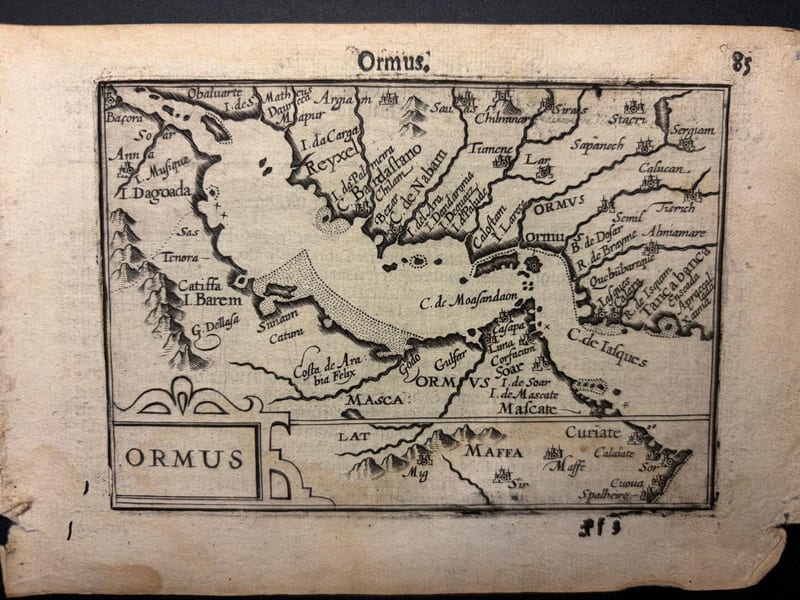
Ormus (Persian Gulf)
Barent Langenes (map engraved by Jodocus Hondius or Petrus Kaerius) · Middelburg · 1598
€ 5.500
Antique Maps · FM-0127
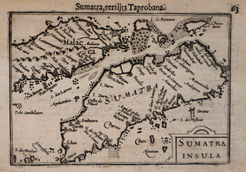
Malacca and Sumatra
Barent Langenes (maps engraved by Jodocus Hondius or Petrus Kaerius) · Middelburg · 1598
€ 2.200
Antique Maps · FM-0173
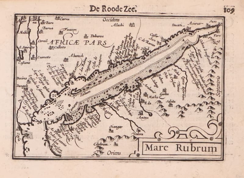
Mare Rubrum (the Red Sea)
Barent Langenes (map engraved by Jodocus Hondius or Petrus Kaerius) · Middelburg · 1598
€ 1.800
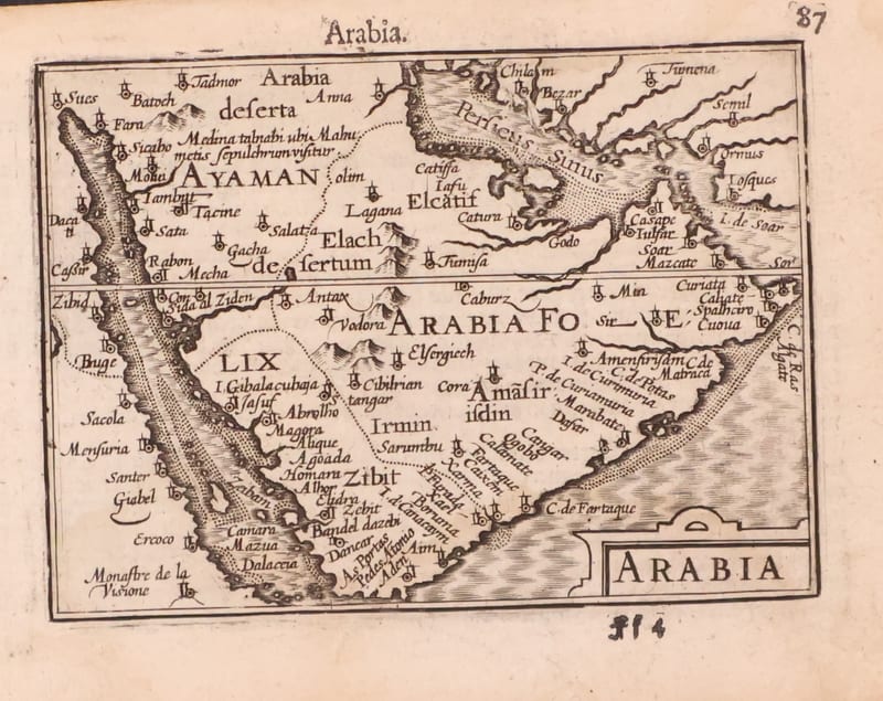
Antique Maps · FM-0123
Arabia
Barent Langenes (map engraved by Jodocus Hondius or Petrus Kaerius) · Middelburg · 1598
€ 1.200
All 20 works: Barent Langenes and Petrus Bertius →