Antique Maps
Picardia (Picardie, Picardy)
Barent Langenes (map engraved by Jodocus Hondius or Petrus Kaerius) · Middelburg · Barent Langenes, for sale at Cornelis Claesz, Amsterdam · 1598
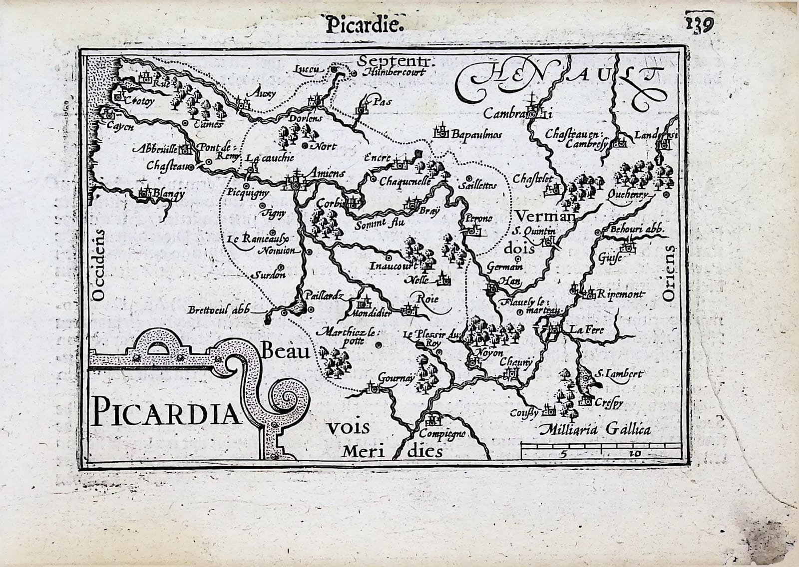
Picardy along the Somme from the coast to Cambrai and Compiègne, with the end of the Dutch description of Picardy and the opening of that of Vermandois on the verso, from the first edition of the Caert-Thresoor, Middelburg 1598
FM-0273
€ 150
All prices include VAT. Import duties outside the EU are not included.
Free insured shipping. The price shown is the price you pay.
Key Properties
Edition: First edition, Dutch text, 1598
Map: 'Picardia', title in a strapwork cartouche lower left, scale of 'Milliaria Gallica' lower right
Position: p. 139, headed 'Picardie'
Text: verso p. 140, the end of the Beschryvinghe van Picardie, followed by the beginning of the Beschryvinghe van Vermandois
Format: Copperplate engraving on a leaf of the oblong octavo atlas
Colouring: Uncoloured
Condition
Good. Slight discolouration of the margins; noteworthy damage to the lower right margin.
References & Bibliography
Van der Krogt, Koeman's Atlantes Neerlandici, III, 341:01 (the atlas). Koeman, Atlantes Neerlandici, II, p. 254, Lan 1. Schilder, Monumenta Cartographica Neerlandica, VII, 16.1. Burger, Het Caert-Thresoor (1930). King, Miniature Antique Maps (1996).
Description
A small map of Picardy from the first edition of Barent Langenes's Caert-Thresoor, the first Dutch pocket atlas, Middelburg 1598, with the Dutch description on the verso.
The map follows the Somme from Le Crotoy, Rue and Abbeville on the coast past Amiens, Corbie and Péronne towards Saint-Quentin, with Cambrai and the Hainaut to the north and Beauvais, Noyon and Compiègne to the south. The text on the verso ends with Péronne, 'well known through the violence of war', and Picardy, which 'still bears the greatest burden and is damaged daily'. It then opens the description of the neighbouring Vermandois, whose map follows on the next leaf.
The Caert-Thresoor was the first Dutch pocket atlas: small copperplate maps by Pieter van den Keere (Petrus Kaerius) and Jodocus Hondius, each with a description of the country in Dutch, in an oblong octavo meant to be cheaper and handier than the great folio atlases of Ortelius and Mercator. It appeared in 1598, a year after the first Dutch voyage to the East Indies had returned, and it brought the geography of the whole known world within reach of a wider public. The plates proved durable: Petrus Bertius reused them for the Latin Tabularum geographicarum contractarum from 1600 and a French edition followed in 1602, so that the Dutch text of 1598 is the first and earliest form in which these maps were issued.
Historical Significance
Picardy was the French frontier with the Spanish Netherlands. Amiens was taken by the Spanish in a surprise attack in March 1597 and retaken by Henri IV in September, a few months before the Peace of Vervins of 1598; the remark on the verso about the daily damage of war was current news when the atlas was printed.
Related works
Antique Maps · FM-0098
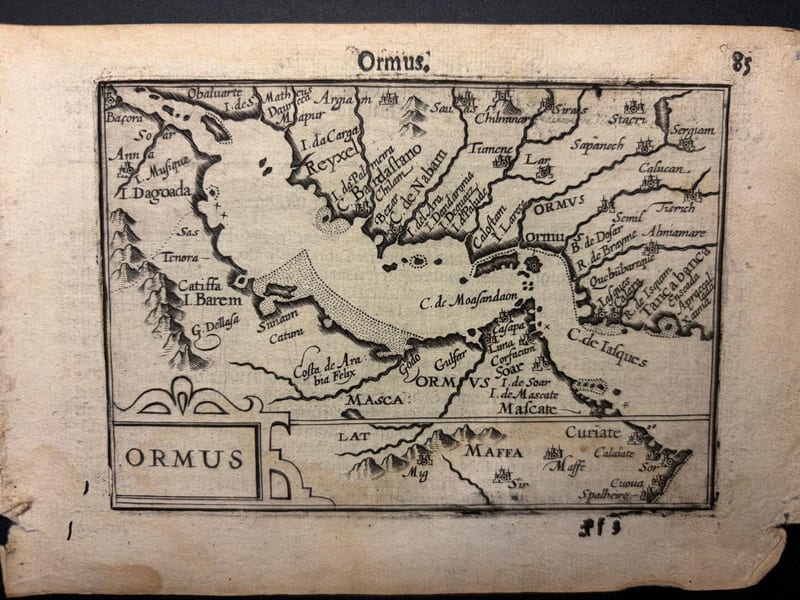
Ormus (Persian Gulf)
Barent Langenes (map engraved by Jodocus Hondius or Petrus Kaerius) · Middelburg · 1598
€ 5.500
Antique Maps · FM-0127
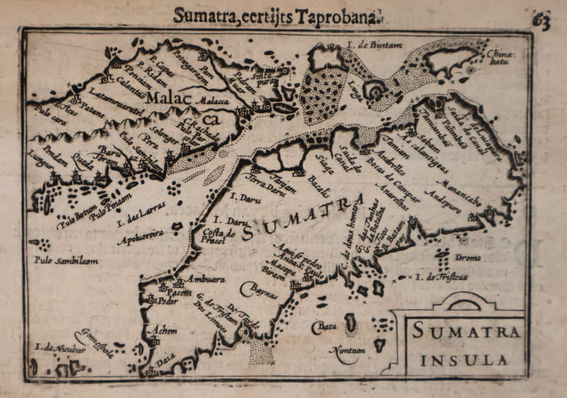
Malacca and Sumatra
Barent Langenes (maps engraved by Jodocus Hondius or Petrus Kaerius) · Middelburg · 1598
€ 2.200
Antique Maps · FM-0173
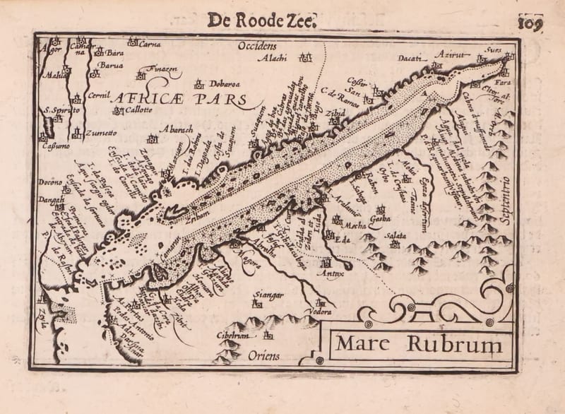
Mare Rubrum (the Red Sea)
Barent Langenes (map engraved by Jodocus Hondius or Petrus Kaerius) · Middelburg · 1598
€ 1.800
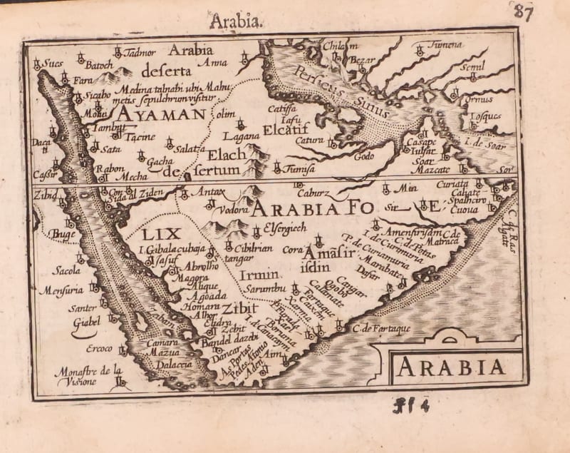
Antique Maps · FM-0123
Arabia
Barent Langenes (map engraved by Jodocus Hondius or Petrus Kaerius) · Middelburg · 1598
€ 1.200
All 44 works: Barent Langenes and Petrus Bertius →