Antique Maps
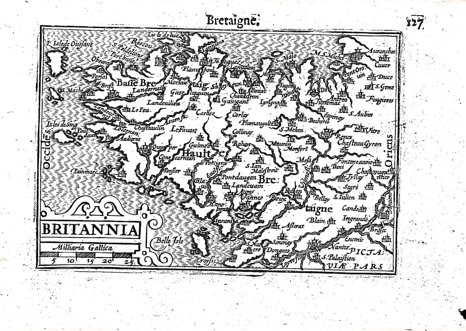
Britannia (Bretaigne, Brittany)
Barent Langenes (map engraved by Jodocus Hondius or Petrus Kaerius) · Middelburg · Barent Langenes, for sale at Cornelis Claesz, Amsterdam · 1598
Brittany from Ushant to Nantes, with the Dutch description of Brittany quoting Du Bartas and Camden on the verso, from the first edition of the Caert-Thresoor, Middelburg 1598
FM-0232
€ 100
Key Properties
Edition: First edition, Dutch text, 1598
Map: 'Britannia', title in a strapwork cartouche lower left with a scale of French miles (Milliaria Gallica)
Position: p. 127 (signature H8), headed 'Bretaigne'
Text: verso p. 128, Beschryvinghe van Bretaignen
Format: Copperplate engraving on a leaf of the oblong octavo atlas
Colouring: Uncoloured
Collation & Technical Description
One leaf from the Caert-Thresoor: the map on p. 127 (H8), headed 'Bretaigne', and on the verso, p. 128, part of the Dutch description of Brittany. North is at the top. The map shows the peninsula from l'Isle de Ouesant (Ushant) and Brest to Rennes, Vitré, Fougères and Mont-Saint-Michel, with Basse and Haulte Bretaigne, Morlaix, Quimper, Concarneau, Vannes, Saint-Malo, Dol, Nantes on the Loire, Belle Isle and Le Croisic, and Pictaviae pars (Poitou) in the south-east.
The Dutch text on p. 128 tells how the land of the Osismii, Curiosolites, Redones and Veneti, the old Armorica, came to be called Brittany: King Vortigern called in the Saxons against the Scots, the Saxons took the east of the island, and the old Britons crossed the sea and settled in this corner of Gaul. It quotes four lines of Dutch verse from 'the learned poet in his second day of the second week' (Du Bartas), cites William Camden's Britannia, Strabo and Scaliger, and gives two more lines on the brave Britons who conquered the Armorican race and brought their old name over to the land.
Condition
Good; some damage to the margin; slight discolouration at the top and left.
References & Bibliography
Van der Krogt, Koeman's Atlantes Neerlandici, III, 341:01 (the atlas). Koeman, Atlantes Neerlandici, II, p. 254, Lan 1. Schilder, Monumenta Cartographica Neerlandica, VII, 16.1. Burger, Het Caert-Thresoor (1930). King, Miniature Antique Maps (1996).
Description
A small map of Brittany from the first edition of Barent Langenes's Caert-Thresoor, the first Dutch pocket atlas, Middelburg 1598, with the Dutch description of Brittany on the verso.
The map is densely filled with the towns, castles and harbours of the Breton coast, and the text is unusually literary, telling the story of the British migration to Armorica with lines of verse after Du Bartas and a reference to Camden's Britannia, first published in 1586.
The Caert-Thresoor was the first Dutch pocket atlas: small copperplate maps by Pieter van den Keere (Petrus Kaerius) and Jodocus Hondius, each with a description of the country in Dutch, in an oblong octavo meant to be cheaper and handier than the great folio atlases of Ortelius and Mercator. It appeared in 1598, a year after the first Dutch voyage to the East Indies had returned, and it brought the geography of the whole known world within reach of a wider public. The plates proved durable: Petrus Bertius reused them for the Latin Tabularum geographicarum contractarum from 1600 and a French edition followed in 1602, so that the Dutch text of 1598 is the first and earliest form in which these maps were issued.
Historical Significance
Brittany had only been joined to the French crown in 1532 and in 1598 was the last stronghold of the Catholic League: Henri IV's campaign in Brittany that spring ended the French Wars of Religion, and the Edict of Nantes, signed in the Breton capital shown on this map, followed the same year.
Provenance
Available on request.
Related works
Antique Maps · FM-0098
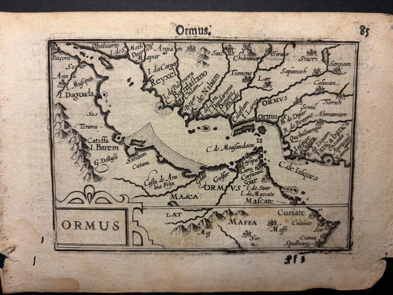
Ormus (Persian Gulf)
Barent Langenes (map engraved by Jodocus Hondius or Petrus Kaerius) · Middelburg · 1598
€ 5.500
Antique Maps · FM-0127
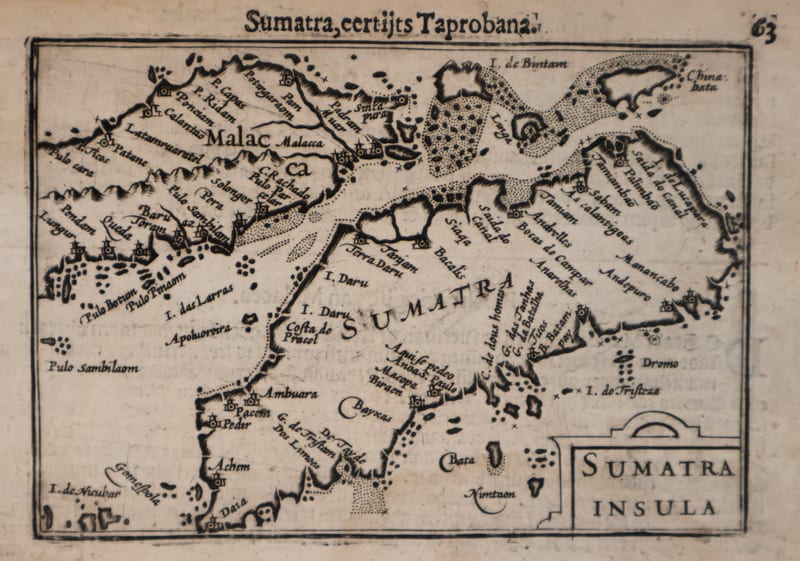
Malacca and Sumatra
Barent Langenes (maps engraved by Jodocus Hondius or Petrus Kaerius) · Middelburg · 1598
€ 2.200
Antique Maps · FM-0173
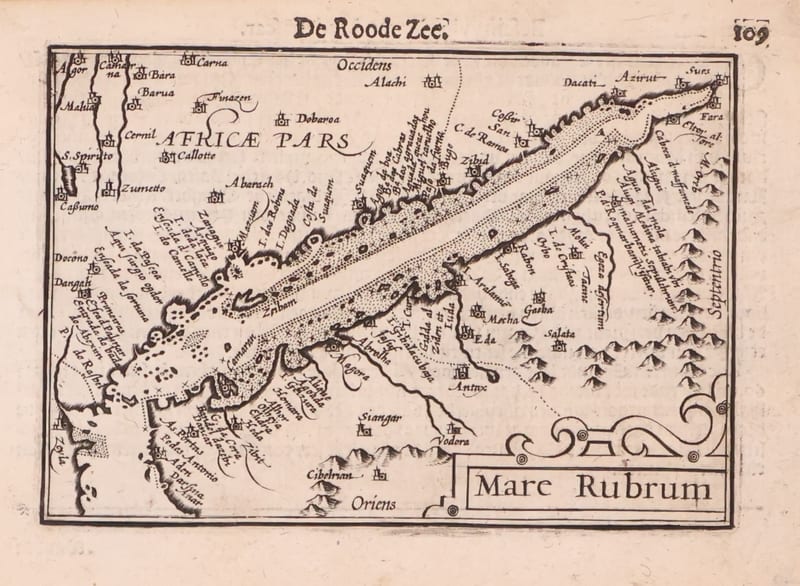
Mare Rubrum (the Red Sea)
Barent Langenes (map engraved by Jodocus Hondius or Petrus Kaerius) · Middelburg · 1598
€ 1.800
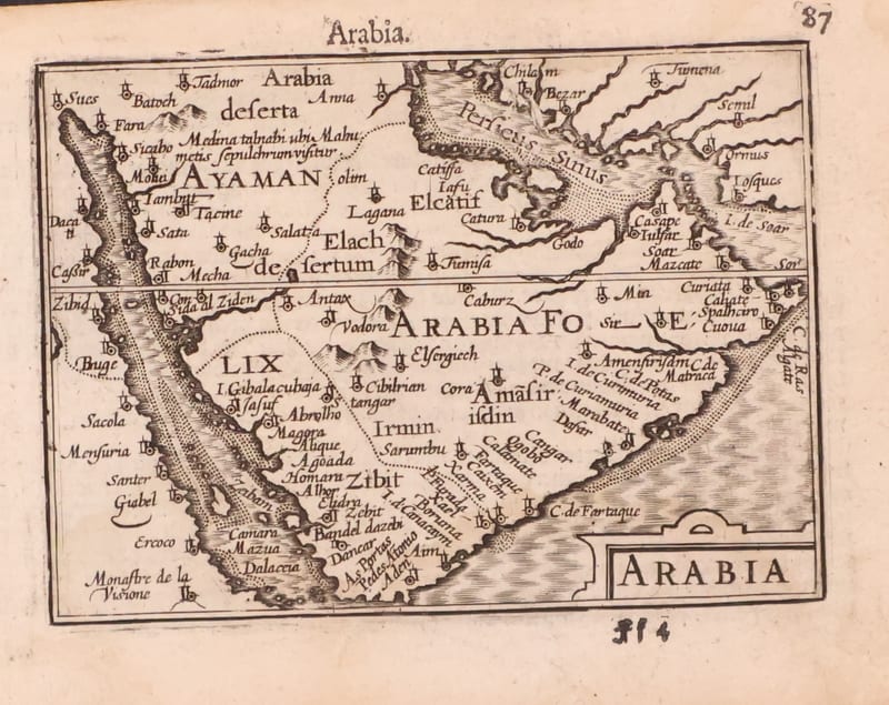
Antique Maps · FM-0123
Arabia
Barent Langenes (map engraved by Jodocus Hondius or Petrus Kaerius) · Middelburg · 1598
€ 1.200
All 20 works: Barent Langenes and Petrus Bertius →