Antique Maps
Cefalonia (Cephalonia, Ionian Islands)
LANGENES, Barent; BERTIUS, Petrus · Amsterdam · Cornelis Claesz · 1603 (Latin text edition)
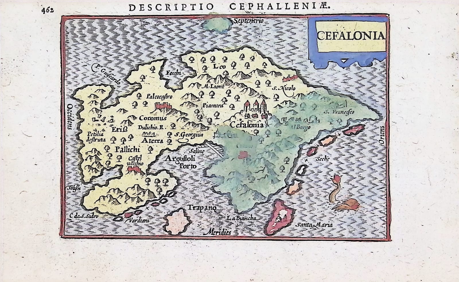
Miniature map of Cephalonia from the Latin edition of Bertius' Tabularum geographicarum contractarum, Amsterdam 1603, in old hand colour, with the sea monster and the Venetian fortress of St George.
FM-0204
€ 350
Key Properties
Edition: Petrus Bertius, Tabularum geographicarum contractarum libri quatuor, Amsterdam, Cornelis Claesz, Latin edition of 1603; the small plates of the Langenes Caert-Thresoor type.
Map: 'Cefalonia', title in a panel upper right; the island with its castle 'Cefalonia' (the Venetian fortress of St George) and 'Il Borgo', Argostoli harbour ('Argostoli Porto'), the salt pans ('Saline'), 'Castel Vecchio', the monastery 'S. Francesco', 'Palcocastro' and the ruined 'Petilia destruta'; the islets Vardiani, Santa Maria, La Biancha and the shoals ('Seche'); a sea monster lower right; the four cardinal points named in the border.
Text: printed on page 462 under the running head 'Descriptio Cephalleniae', with the end of Bertius' Latin 'Descriptio Peloponnesi' (page 461) on the other side of the leaf.
Colour: old hand colour, the land in yellow and green, the islets in pink and red, the cartouche in yellow and blue, the border in red.
Dimensions: map 8.5 x 12.5 cm on a leaf of 11 x 17.5 cm.
Collation & Technical Description
One leaf of the oblong small octavo, the map printed within the letterpress running head and pagination (page 462), the last page of the Latin text on the Peloponnese (page 461, with two words in Greek type) on the other side. Copper engraving, 8.5 x 12.5 cm, the leaf 11 x 17.5 cm.
Condition
Good. Old hand colour, bright and complete. Paper lightly and evenly toned, a faint blue tide-mark from the colouring and a little show-through of the letterpress visible on the text side; margins adequate on all sides.
References & Bibliography
Van der Krogt, Koeman's Atlantes Neerlandici, III, atlas 341 (Bertius, Tabularum geographicarum contractarum, Latin editions Amsterdam 1600-1606). Zacharakis, A Catalogue of Printed Maps of Greece (Bertius/Langenes, Cefalonia).
Description
A miniature map of Cephalonia, the largest of the Ionian islands and a Venetian possession since 1500, from the Latin edition of Petrus Bertius' pocket atlas, the Tabularum geographicarum contractarum, published at Amsterdam by Cornelis Claesz. The atlas grew out of the Caert-Thresoor of Barent Langenes (Middelburg 1598), whose little copperplates, engraved in the workshops of Jodocus Hondius and Pieter van den Keere, were re-used with Bertius' Latin text in the editions of 1600, 1602 and 1603; the present leaf comes from the edition of 1603.
The island is drawn with the fortress of St George, the Venetian capital, rising on its hill above 'Il Borgo', the harbour of Argostoli with its salt pans, the ruined Byzantine 'Petilia destruta', the monastery of St Francis, the castles and the wooded mountains, and the small islands and shoals along the eastern and southern coasts; a sea monster swims off the eastern shore. The nomenclature is Italian, as on the Venetian isolarii from which the small map ultimately derives. The map is printed on the text page of the atlas under the running head 'Descriptio Cephalleniae', with the last page of Bertius' Latin description of the Peloponnese on the other side.
This copy is in old hand colour, the land in yellow and green, the islets in pink and red, the border in red and the cartouche in yellow and blue.
Historical Significance
The pocket atlases of Langenes and Bertius were the first cheap, portable atlases of the whole world, and they gave the small Greek islands of the Venetian empire a place in the hands of merchants, students and travellers who could not afford the folio atlases of Ortelius and Mercator. Cephalonia, taken from the Turks by Venice and Spain in 1500 and garrisoned in the fortress of St George, was a strategic outpost of the Venetian Levant, and this small map, with its Italian names and Venetian castle, records the island as the Republic knew it at the beginning of the seventeenth century.
Provenance
Frederik Muller Rare Books, Amsterdam (stock of the firm).
Related works
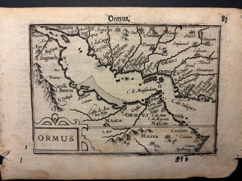
Antique Maps · FM-0098
Ormus (Persian Gulf)
Barent Langenes (map engraved by Jodocus Hondius or Petrus Kaerius) · Middelburg · 1598
€ 5.500
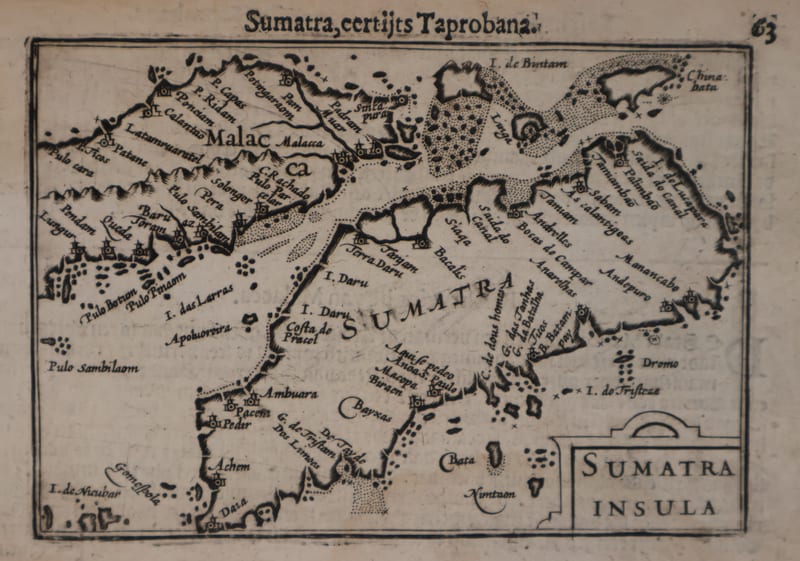
Antique Maps · FM-0127
Malacca and Sumatra
Barent Langenes (maps engraved by Jodocus Hondius or Petrus Kaerius) · Middelburg · 1598
€ 2.200
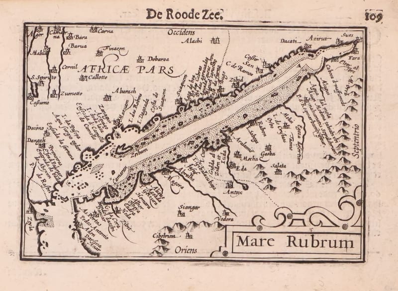
Antique Maps · FM-0173
Mare Rubrum (the Red Sea)
Barent Langenes (map engraved by Jodocus Hondius or Petrus Kaerius) · Middelburg · 1598
€ 1.800
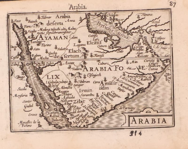
Antique Maps · FM-0123
Arabia
Barent Langenes (map engraved by Jodocus Hondius or Petrus Kaerius) · Middelburg · 1598
€ 1.200
All 7 works: Barent Langenes and Petrus Bertius →