Antique Maps
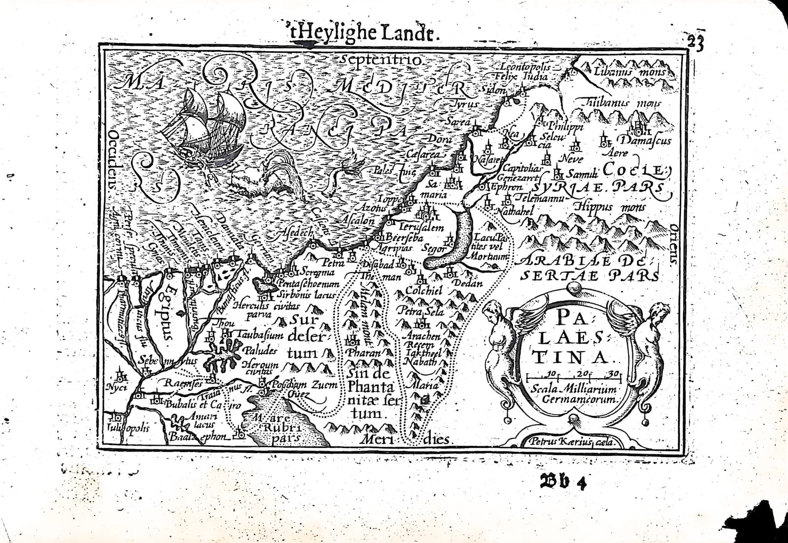
't Heylighe Landt: Palaestina (the Holy Land)
Barent Langenes (map engraved by Petrus Kaerius) · Middelburg · Barent Langenes, for sale at Cornelis Claesz, Amsterdam · 1598
The Holy Land from the Nile delta to Sidon and Damascus, engraved by Pieter van den Keere, with the Dutch description of the Holy Land on the verso, from the first edition of the Caert-Thresoor, Middelburg 1598
FM-0223
€ 300
Key Properties
Edition: First edition, Dutch text, 1598
Map: 'Palaestina', title in a cartouche with two winged figures lower right, with a scale of German miles (Scala Milliarium Germanicorum); signed 'Petrus Kaerius caela.'
Position: part two, p. 23 (signature Bb4), headed ''t Heylighe Landt'
Text: verso p. 24, Beschryvinghe van 't Heylighe Landt
Format: Copperplate engraving on a leaf of the oblong octavo atlas
Colouring: Uncoloured
Collation & Technical Description
One leaf from the Caert-Thresoor: the map on p. 23 (Bb4), headed ''t Heylighe Landt', and on the verso, p. 24, part of the Dutch Beschryvinghe van 't Heylighe Landt. North is at the top (Septentrio). The map runs from the Nile delta and Egiptus in the west to Damascus and the mountains of Libanus and Antilibanus in the east, with Sidon, Tyrus, Caesarea, Ioppe, Ascalon, Ierusalem, Nasaret and Samaria, the Dead Sea as Lacus Asphaltites vel Mortuum, and in the south the deserts of Sur and Sin and the head of the Red Sea (Mare Rubri pars), crossed by the dotted route of the Exodus. A ship and a spouting sea creature fill the Mediterranean (Mare Mediterraneum).
The Dutch text on p. 24 speaks of the land of promise, the land of the patriarchs and prophets where the Son of God took on human flesh; once flowing with milk and honey, it is now, for the sins of its inhabitants, 'a heaven of copper and an earth of iron'. Citing Burchard (Burcardus) it praises the fertility of the soil, and citing Münster it gives the length of the land as 40 Dutch miles, before describing its division at the time of Christ into Judaea, Samaria and Galilee.
Condition
A portion of the margin missing at the lower right; some roughened edges generally.
References & Bibliography
Van der Krogt, Koeman's Atlantes Neerlandici, III, 341:01 (the atlas). Koeman, Atlantes Neerlandici, II, p. 254, Lan 1. Schilder, Monumenta Cartographica Neerlandica, VII, 16.1. Burger, Het Caert-Thresoor (1930). King, Miniature Antique Maps (1996).
Description
A small map of the Holy Land engraved and signed by Pieter van den Keere, from the first edition of Barent Langenes's Caert-Thresoor, the first Dutch pocket atlas, Middelburg 1598, with the Dutch description of the Holy Land on the verso.
The map follows Abraham Ortelius in compressed form: the coast from Sidon to the Nile, Jerusalem and the Dead Sea, the river Jordan, and the wanderings of the children of Israel through the desert marked by dotted lines. It is one of the most attractive of the miniature maps, with its winged figures around the title cartouche and the ship and sea creature in the Mediterranean.
The Caert-Thresoor was the first Dutch pocket atlas: small copperplate maps by Pieter van den Keere (Petrus Kaerius) and Jodocus Hondius, each with a description of the country in Dutch, in an oblong octavo meant to be cheaper and handier than the great folio atlases of Ortelius and Mercator. It appeared in 1598, a year after the first Dutch voyage to the East Indies had returned, and it brought the geography of the whole known world within reach of a wider public. The plates proved durable: Petrus Bertius reused them for the Latin Tabularum geographicarum contractarum from 1600 and a French edition followed in 1602, so that the Dutch text of 1598 is the first and earliest form in which these maps were issued.
Historical Significance
Maps of the Holy Land were in great demand in the Protestant Netherlands, where readers of the Bible wanted to follow the Exodus and the travels of the apostles on the page. Langenes's small Palaestina put such a map, with a plain Dutch description, into a pocket book. Van den Keere's plate served the Dutch, Latin and French editions until 1616, when Jodocus Hondius II engraved a new, slightly larger plate with scales of latitude and longitude in the border, which distinguishes the later issues.
Provenance
Available on request.
Related works
Antique Maps · FM-0098
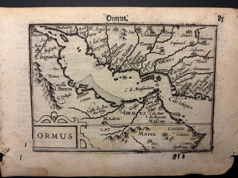
Ormus (Persian Gulf)
Barent Langenes (map engraved by Jodocus Hondius or Petrus Kaerius) · Middelburg · 1598
€ 5.500
Antique Maps · FM-0127
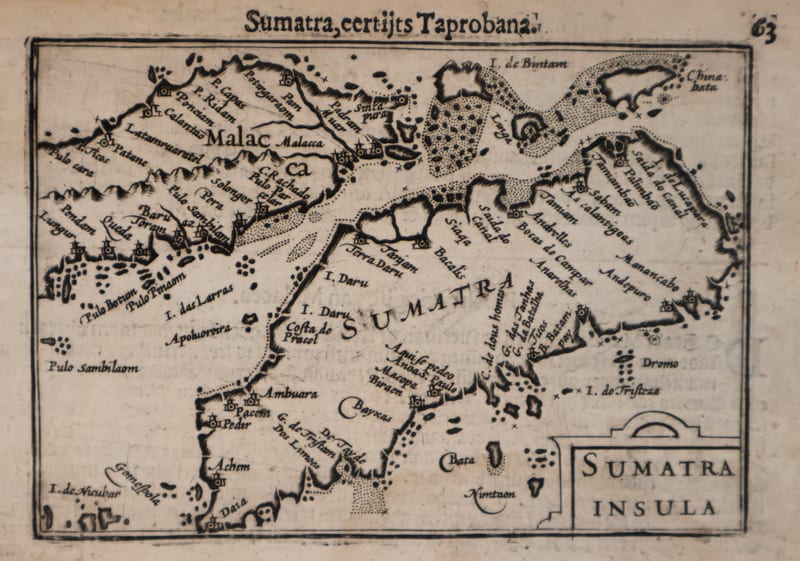
Malacca and Sumatra
Barent Langenes (maps engraved by Jodocus Hondius or Petrus Kaerius) · Middelburg · 1598
€ 2.200
Antique Maps · FM-0173
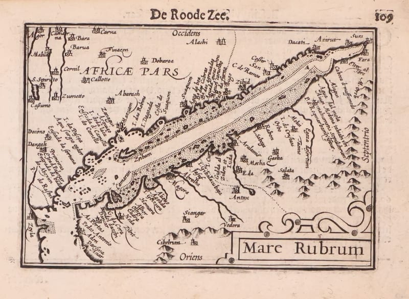
Mare Rubrum (the Red Sea)
Barent Langenes (map engraved by Jodocus Hondius or Petrus Kaerius) · Middelburg · 1598
€ 1.800
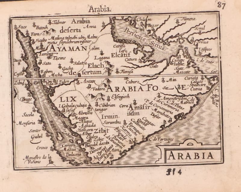
Antique Maps · FM-0123
Arabia
Barent Langenes (map engraved by Jodocus Hondius or Petrus Kaerius) · Middelburg · 1598
€ 1.200
All 20 works: Barent Langenes and Petrus Bertius →