Antique Maps
Cambria (Cambria of Wallia, Wales)
Barent Langenes (map engraved by Jodocus Hondius or Petrus Kaerius) · Middelburg · Barent Langenes, for sale at Cornelis Claesz, Amsterdam · 1598
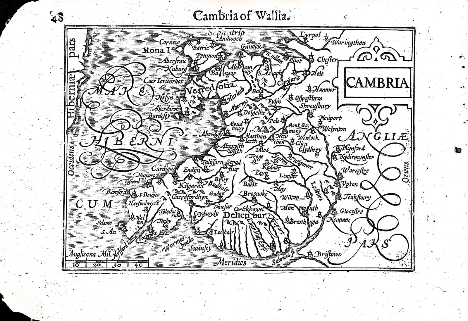
Wales from Anglesey to the Severn, with Chester, Shrewsbury and Bristol, and the beginning of the Dutch description of Wales, from the first edition of the Caert-Thresoor, Middelburg 1598
FM-0231
€ 140
Key Properties
Edition: First edition, Dutch text, 1598
Map: 'Cambria', title in a strapwork cartouche upper right, with a scale of English miles (Anglicana Mil.) lower left
Position: p. 48, headed 'Cambria of Wallia' (the map is on the verso of the leaf)
Text: recto p. 47, the end of the Beschryvinghe van Enghelandt and the beginning of the Beschryvinghe van Cambria of Wallia
Format: Copperplate engraving on a leaf of the oblong octavo atlas
Colouring: Uncoloured
Collation & Technical Description
One leaf from the Caert-Thresoor: the map on p. 48, headed 'Cambria of Wallia', and on the other side, p. 47, the end of the Dutch description of England and the beginning of that of Wales. North is at the top (Septentrio). The map shows Wales with Mona I. (Anglesey), Venedotia, Bangor, Harlech, Dolgellau, Aberystwyth, Cardigan, S. Davids, Pembroke, Tenby, Milford Haven, Swansey, Brecknoke and Monmouth, the English border towns Lyrpol (Liverpool), Chester, Shrewsbury, Worcestre, Glocestre and Bristowe, the Sabrina (Severn), and the Mare Hibernicum in large flourished letters to the west.
The Dutch text on p. 47 ends the account of ancient England: after Caesar and Diodorus the old Britons, simple in their ways, painted their bodies like the peoples of the islands newly found by the Spaniards, as Solinus, Herodian and Mela write. Under its own heading follows Wales: a third of the island, named after Cambrus, third son of Brutus, called Cambry by its inhabitants and Walles by the English, the only part still inhabited by the true old Britons, who kept their own language, wholly different from English; divided into Gwynedd or North Wales, Powys, and Deheubarth or South Wales, with the island of Anglesey.
Condition
All corners frayed; the right margin especially damaged; slight discolouration in the upper margin.
References & Bibliography
Van der Krogt, Koeman's Atlantes Neerlandici, III, 341:01 (the atlas). Koeman, Atlantes Neerlandici, II, p. 254, Lan 1. Schilder, Monumenta Cartographica Neerlandica, VII, 16.1. Burger, Het Caert-Thresoor (1930). King, Miniature Antique Maps (1996).
Description
A small map of Wales from the first edition of Barent Langenes's Caert-Thresoor, the first Dutch pocket atlas, Middelburg 1598, with the beginning of the Dutch description of Wales.
The map is engraved on the verso of the leaf, with the text on the recto. It shows the principality from Anglesey to the Severn estuary, with the castles and towns of the Welsh coast and the English border, and the text explains, for a Dutch reader of 1598, that the Welsh were the descendants of the ancient Britons and still spoke their own language.
The Caert-Thresoor was the first Dutch pocket atlas: small copperplate maps by Pieter van den Keere (Petrus Kaerius) and Jodocus Hondius, each with a description of the country in Dutch, in an oblong octavo meant to be cheaper and handier than the great folio atlases of Ortelius and Mercator. It appeared in 1598, a year after the first Dutch voyage to the East Indies had returned, and it brought the geography of the whole known world within reach of a wider public. The plates proved durable: Petrus Bertius reused them for the Latin Tabularum geographicarum contractarum from 1600 and a French edition followed in 1602, so that the Dutch text of 1598 is the first and earliest form in which these maps were issued.
Historical Significance
Early printed maps of Wales on their own are few: Humphrey Llwyd's Cambriae Typus in the Ortelius atlas of 1573 was the first, and the Langenes map, in the Ortelius tradition, carried that picture of Wales into the pocket atlases of the following half century.
Provenance
Available on request.
Related works
Antique Maps · FM-0098
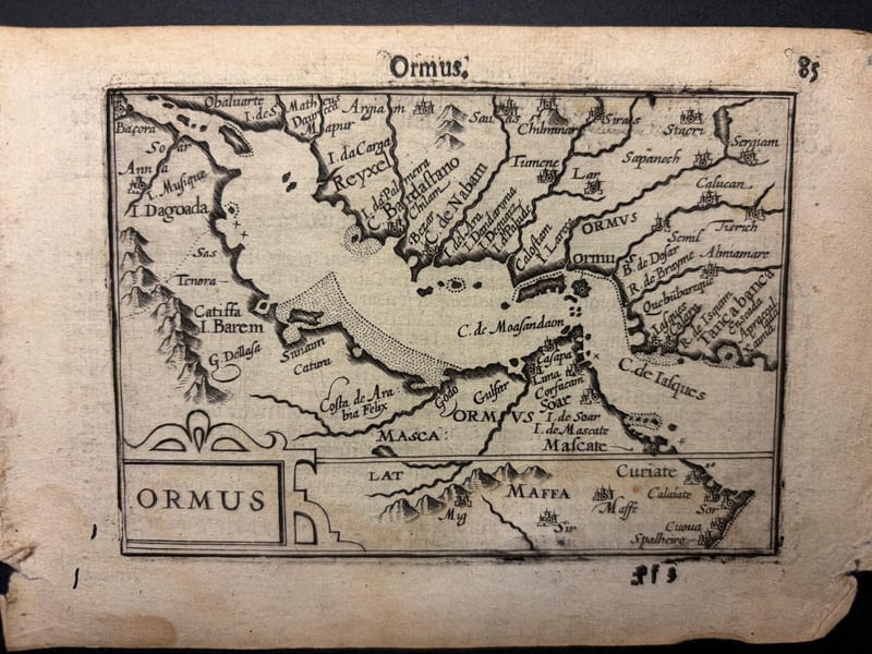
Ormus (Persian Gulf)
Barent Langenes (map engraved by Jodocus Hondius or Petrus Kaerius) · Middelburg · 1598
€ 5.500
Antique Maps · FM-0127
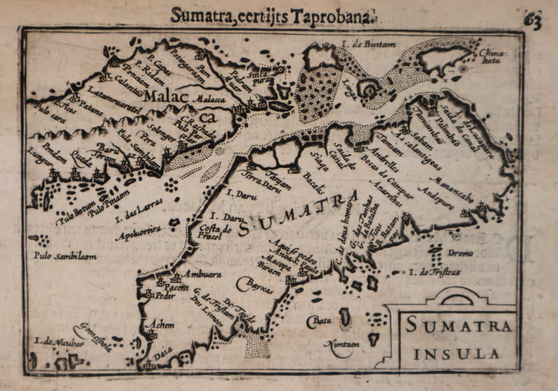
Malacca and Sumatra
Barent Langenes (maps engraved by Jodocus Hondius or Petrus Kaerius) · Middelburg · 1598
€ 2.200
Antique Maps · FM-0173
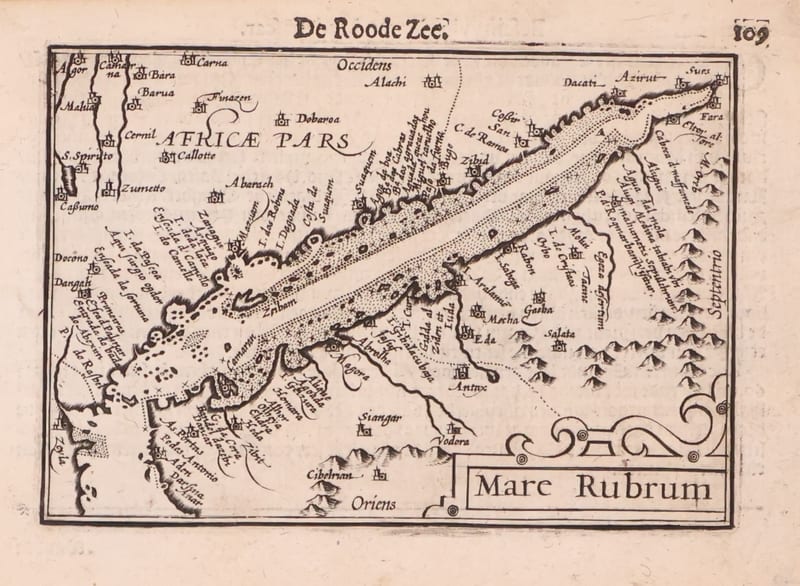
Mare Rubrum (the Red Sea)
Barent Langenes (map engraved by Jodocus Hondius or Petrus Kaerius) · Middelburg · 1598
€ 1.800
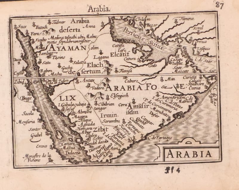
Antique Maps · FM-0123
Arabia
Barent Langenes (map engraved by Jodocus Hondius or Petrus Kaerius) · Middelburg · 1598
€ 1.200
All 20 works: Barent Langenes and Petrus Bertius →