Antique Maps
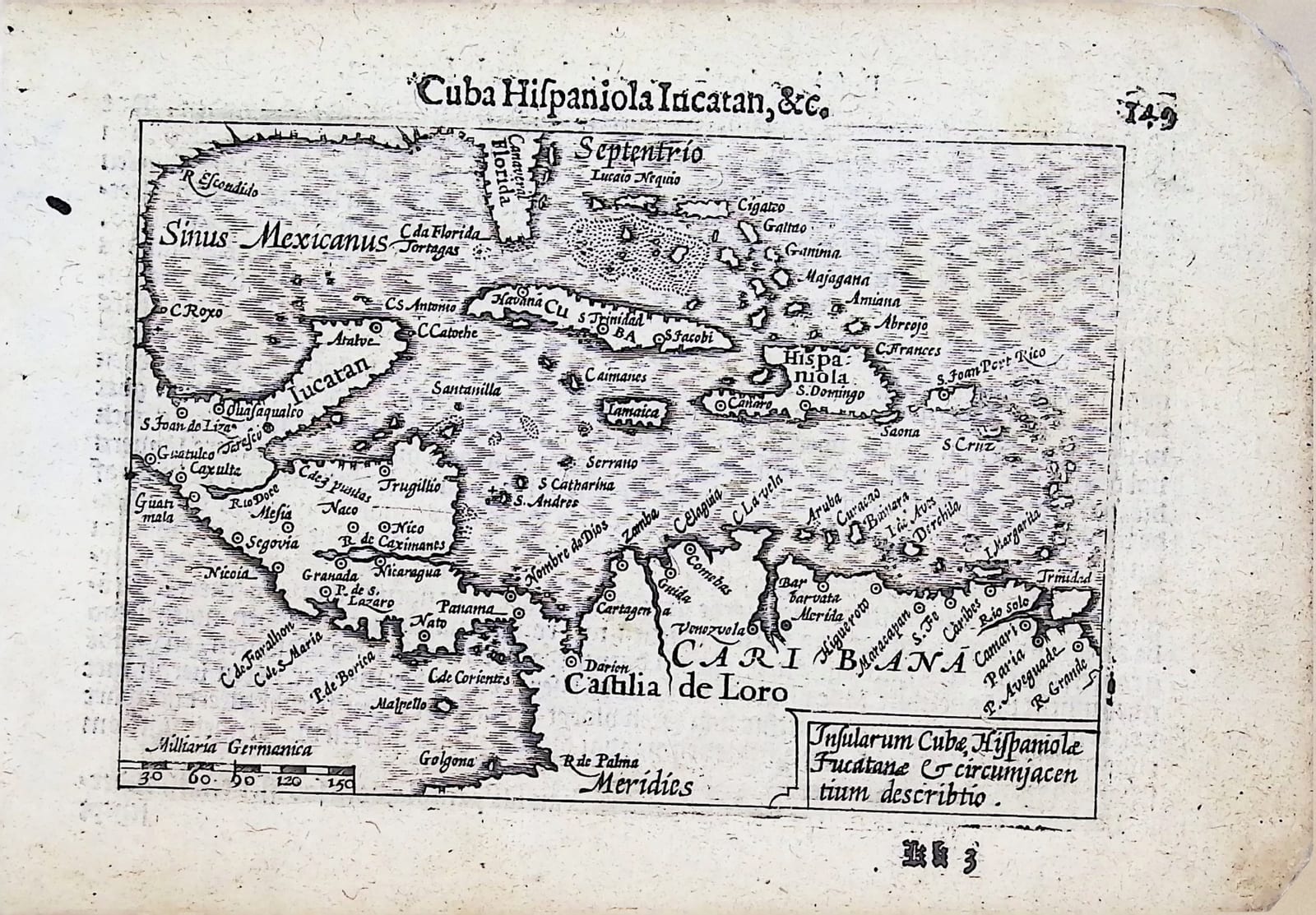
Cuba Hispaniola Iucatan, &c. (the Caribbean)
Barent Langenes (map engraved by Jodocus Hondius or Petrus Kaerius) · Middelburg · Barent Langenes, for sale at Cornelis Claesz, Amsterdam · 1598
The Caribbean and the Gulf of Mexico, from Florida and Yucatán to the coast of Venezuela, with the Dutch description of Cuba and Jamaica on the verso, from the first edition of the Caert-Thresoor, Middelburg 1598
FM-0274
€ 275
All prices include VAT. Import duties outside the EU are not included.
Free insured shipping. The price shown is the price you pay.
Key Properties
Edition: First edition, Dutch text, 1598
Map: the Caribbean, with the cartouche 'Insularum Cubae, Hispaniolae, Iucatanae & circumiacentium descriptio' lower right and a scale of 'Milliaria Germanica' lower left
Position: p. 149 (signature Kk3), headed 'Cuba Hispaniola Iucatan, &c.'
Text: verso, paginated 156, the Beschryvinghe van Cuba ende Iamaica
Format: Copperplate engraving on a leaf of the oblong octavo atlas
Colouring: Uncoloured
Condition
Good. Some damage and discolouration to the margins, not affecting the map.
References & Bibliography
Van der Krogt, Koeman's Atlantes Neerlandici, III, 341:01 (the atlas). Koeman, Atlantes Neerlandici, II, p. 254, Lan 1. Schilder, Monumenta Cartographica Neerlandica, VII, 16.1. Burger, Het Caert-Thresoor (1930). King, Miniature Antique Maps (1996).
Description
A small map of the Caribbean from the first edition of Barent Langenes's Caert-Thresoor, the first Dutch pocket atlas, Middelburg 1598, with the Dutch description of Cuba and Jamaica on the verso.
The map runs from the Sinus Mexicanus and Florida in the north to the coast of Castilla de Oro and Venezuela in the south, with Cuba, Hispaniola, Jamaica and Puerto Rico, the Bahamas, Aruba and Curaçao, and the Isthmus of Panama with Nombre de Dios. The text on the verso tells how Columbus found Cuba in 1492, names Havana as the island's trading town and shipyard and Santiago as the seat of the bishop, and describes two wonders: a valley full of naturally round stones used as shot, and a mountain from which pitch flows into the sea, used to tar ships.
The Caert-Thresoor was the first Dutch pocket atlas: small copperplate maps by Pieter van den Keere (Petrus Kaerius) and Jodocus Hondius, each with a description of the country in Dutch, in an oblong octavo meant to be cheaper and handier than the great folio atlases of Ortelius and Mercator. It appeared in 1598, a year after the first Dutch voyage to the East Indies had returned, and it brought the geography of the whole known world within reach of a wider public. The plates proved durable: Petrus Bertius reused them for the Latin Tabularum geographicarum contractarum from 1600 and a French edition followed in 1602, so that the Dutch text of 1598 is the first and earliest form in which these maps were issued.
Historical Significance
In 1598 the Caribbean was the heart of the Spanish empire in America and the route of the silver fleets. Dutch ships were just beginning to sail there for salt and trade; Aruba and Curaçao, shown here as small islands off the coast, would become Dutch some forty years later.
Related works
Antique Maps · FM-0098
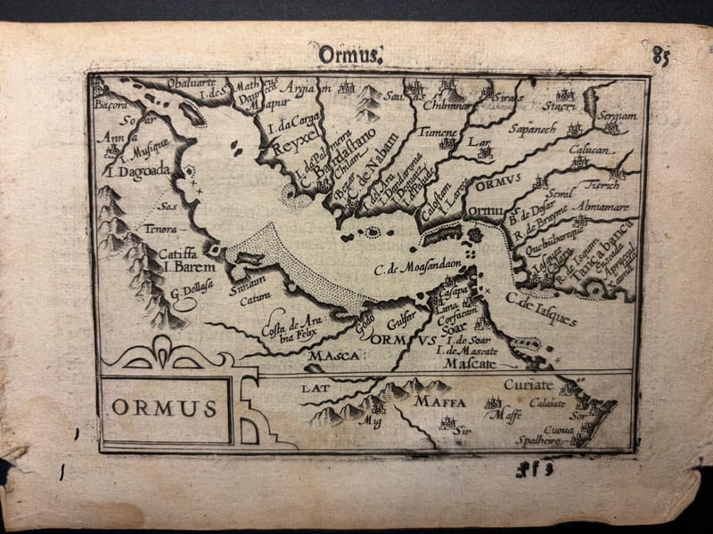
Ormus (Persian Gulf)
Barent Langenes (map engraved by Jodocus Hondius or Petrus Kaerius) · Middelburg · 1598
€ 5.500
Antique Maps · FM-0127
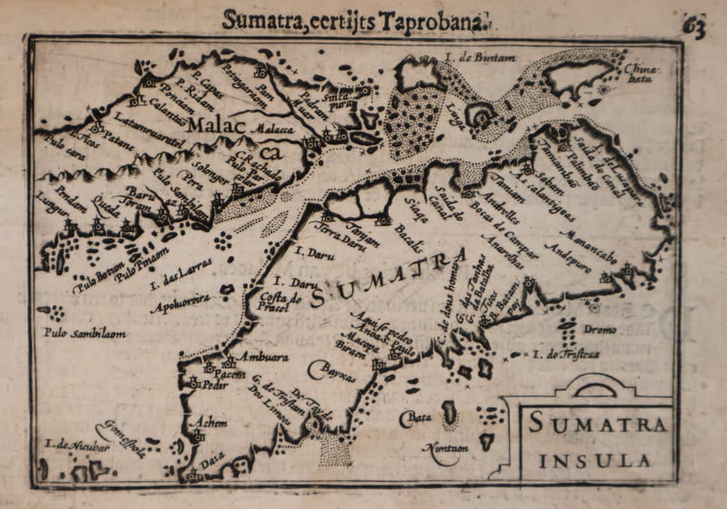
Malacca and Sumatra
Barent Langenes (maps engraved by Jodocus Hondius or Petrus Kaerius) · Middelburg · 1598
€ 2.200
Antique Maps · FM-0173
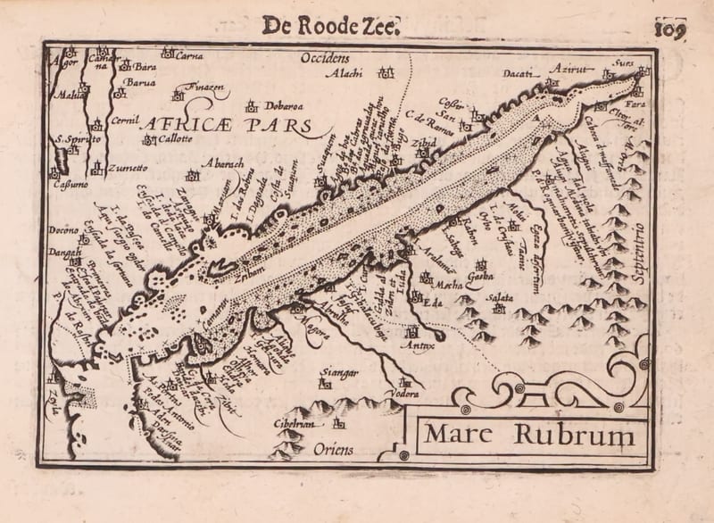
Mare Rubrum (the Red Sea)
Barent Langenes (map engraved by Jodocus Hondius or Petrus Kaerius) · Middelburg · 1598
€ 1.800
Antique Maps · FM-0123
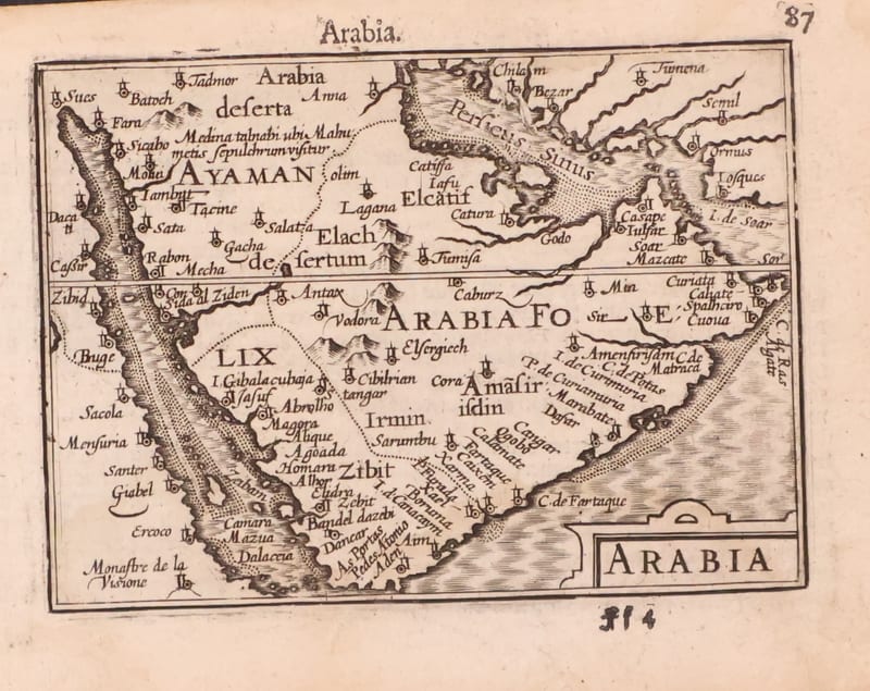
Arabia
Barent Langenes (map engraved by Jodocus Hondius or Petrus Kaerius) · Middelburg · 1598
€ 1.200
All 44 works: Barent Langenes and Petrus Bertius →