Antique Maps
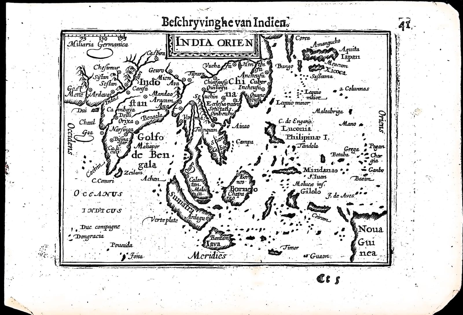
India Orien(talis) (Beschryvinghe van Indien, the East Indies)
Barent Langenes (map engraved by Jodocus Hondius or Petrus Kaerius) · Middelburg · Barent Langenes, for sale at Cornelis Claesz, Amsterdam · 1598
The East Indies from the Indus to Japan, Korea, the Philippines and New Guinea, with the Dutch description of the Indies on the verso, from the first edition of the Caert-Thresoor, Middelburg 1598
FM-0228
€ 475
Key Properties
Edition: First edition, Dutch text, 1598
Map: 'India Orien', title in a small cartouche at the top, with a scale of German miles (Miliaria Germanica) upper left
Position: part two, p. 41 (signature Cc5), headed 'Beschryvinghe van Indien'
Text: verso p. 42, Beschryvinghe van Indien
Format: Copperplate engraving on a leaf of the oblong octavo atlas
Colouring: Uncoloured
Collation & Technical Description
One leaf from the Caert-Thresoor: the map on p. 41 (Cc5), headed 'Beschryvinghe van Indien', and on the verso, p. 42, part of the Dutch description of the Indies. North is at the top. The map runs from the Indus and Indostan with Cambaya, Goa, Cochin and Zeilan in the west to Iapan with Meacum, Bungo and Xicoca, Corea, the Lequio islands, Luconia and the Philippinae I., Mindanao, the Moluccas with Gilolo, and Noua Guinea in the east; in between the Golfo de Bengala, Aracam, Ava, Siam, China, Malacca, Sumatra, Borneo, Iava with Bantam and Timor.
The Dutch text on p. 42 describes the riches of India: rice, cheese, milk, fish and fruit; sugar cane yielding a white honey; silk; elephants used in war and in farming; dragons, serpents and the chameleon 'that lives on air, as the ancients say'; pheasants and partridges; the spices famous throughout the world, pepper above all, and ebony; gold in the rivers, pearls from the sea and diamonds, carbuncles, sapphires, amethysts, chalcedony and agates from the land; and, after Megasthenes, the sixty rivers besides the Ganges and the Indus.
Condition
Some fraying at the right corners, top and bottom; otherwise without major damage.
References & Bibliography
Van der Krogt, Koeman's Atlantes Neerlandici, III, 341:01 (the atlas). Koeman, Atlantes Neerlandici, II, p. 254, Lan 1. Schilder, Monumenta Cartographica Neerlandica, VII, 16.1. Burger, Het Caert-Thresoor (1930). King, Miniature Antique Maps (1996).
Description
A small map of the East Indies from the first edition of Barent Langenes's Caert-Thresoor, the first Dutch pocket atlas, Middelburg 1598, with the Dutch description of the Indies on the verso.
This is the map of the spice trade in one view: India and Ceylon, the Bay of Bengal, Siam and China, Japan and Korea, and the whole archipelago from Sumatra and Java with Bantam, where the first Dutch fleet had traded in 1596, to the Moluccas and New Guinea. The text on the verso lists the treasures that drew the Dutch there, from pepper and ebony to diamonds and pearls.
The Caert-Thresoor was the first Dutch pocket atlas: small copperplate maps by Pieter van den Keere (Petrus Kaerius) and Jodocus Hondius, each with a description of the country in Dutch, in an oblong octavo meant to be cheaper and handier than the great folio atlases of Ortelius and Mercator. It appeared in 1598, a year after the first Dutch voyage to the East Indies had returned, and it brought the geography of the whole known world within reach of a wider public. The plates proved durable: Petrus Bertius reused them for the Latin Tabularum geographicarum contractarum from 1600 and a French edition followed in 1602, so that the Dutch text of 1598 is the first and earliest form in which these maps were issued.
Historical Significance
Published in the year that the second Dutch fleet sailed for Bantam, this small map of the East Indies, with its Dutch description of pepper, spices and precious stones, shows exactly what the Dutch were setting out to find. Within four years the competing companies were united in the Dutch East India Company.
Provenance
Available on request.
Related works
Antique Maps · FM-0098
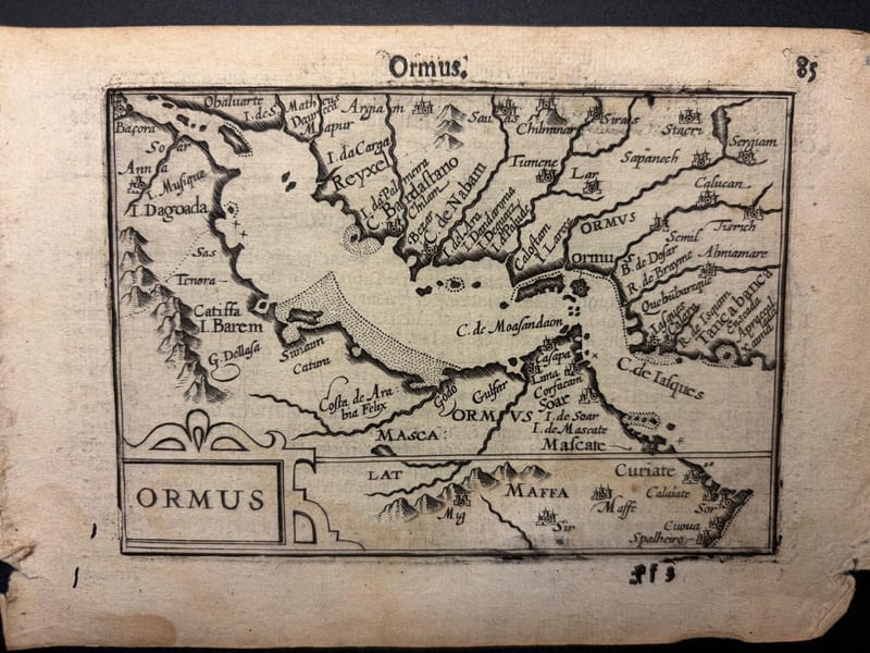
Ormus (Persian Gulf)
Barent Langenes (map engraved by Jodocus Hondius or Petrus Kaerius) · Middelburg · 1598
€ 5.500
Antique Maps · FM-0127
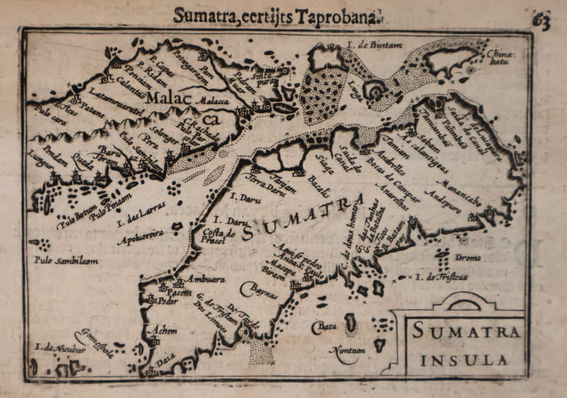
Malacca and Sumatra
Barent Langenes (maps engraved by Jodocus Hondius or Petrus Kaerius) · Middelburg · 1598
€ 2.200
Antique Maps · FM-0173
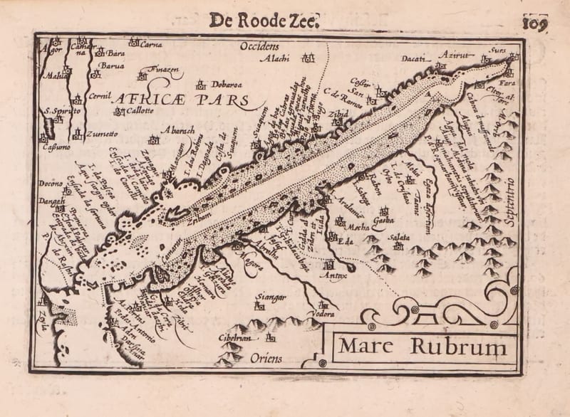
Mare Rubrum (the Red Sea)
Barent Langenes (map engraved by Jodocus Hondius or Petrus Kaerius) · Middelburg · 1598
€ 1.800
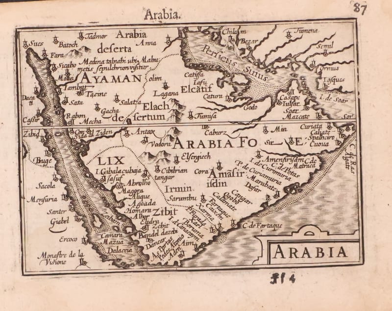
Antique Maps · FM-0123
Arabia
Barent Langenes (map engraved by Jodocus Hondius or Petrus Kaerius) · Middelburg · 1598
€ 1.200
All 20 works: Barent Langenes and Petrus Bertius → · Barent Langenes and Petrus Bertius · The Dutch East India Company (VOC)