Antique Maps
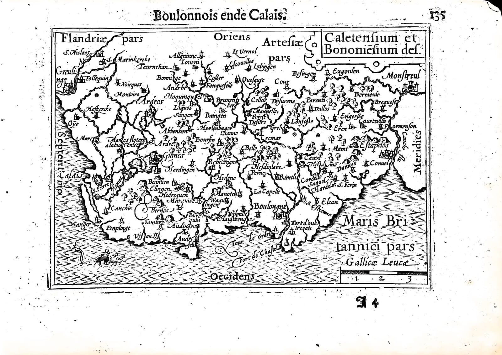
Caletensium et Bononiensium des. (Boulonnois ende Calais)
Barent Langenes (map engraved by Jodocus Hondius or Petrus Kaerius) · Middelburg · Barent Langenes, for sale at Cornelis Claesz, Amsterdam · 1598
The Boulonnais and the Calaisis, from Gravelines to Montreuil, with the Dutch description of Boulogne and Calais on the verso, from the first edition of the Caert-Thresoor, Middelburg 1598
FM-0233
€ 100
Key Properties
Edition: First edition, Dutch text, 1598
Map: 'Caletensium et Bononiensium des(criptio)', title in a strapwork cartouche upper right, with a scale of French leagues (Gallicae Leucae) lower right; oriented with east at the top
Position: p. 135 (signature I4), headed 'Boulonnois ende Calais'
Text: verso p. 136, Beschryvinghe van Boulonnois ende Calais
Format: Copperplate engraving on a leaf of the oblong octavo atlas
Colouring: Uncoloured
Collation & Technical Description
One leaf from the Caert-Thresoor: the map on p. 135 (I4), headed 'Boulonnois ende Calais', and on the verso, p. 136, the beginning of the Dutch description of the Boulonnais and Calais. The map is oriented with east at the top (Oriens) and north to the left (Septentrio). It shows the coast from Greuelinge (Gravelines) and Calais past Boulogne to Estaples and Monstreuil (Montreuil), with Oye, Ardres, Guines, Marquise, Hardelot, the Tour d'Odre and the forts of the harbour of Boulogne, Flandriae pars and Artesiae pars inland, a sea creature in the Channel and Maris Britannici pars to the west.
The Dutch text on p. 136 describes the county of Boulogne as part of Gallia Belgica, with the ancient Gessoriacum or Iccius portus, which some placed at Calais, an opinion rejected by Meyerus and Robertus Cenalis; the name derived from the boiling sand (bouillir); the county set up under Charles the Bald; upper and lower Boulogne, with the church of Saint Nicolas, the Franciscan friary and the short crossing to England; the tower built by Julius Caesar; and Calais, for some two hundred years an English bulwark against France, until the Duke of Guise took it in 1558.
Condition
Good; some damage to the right margin; slight discolouration.
References & Bibliography
Van der Krogt, Koeman's Atlantes Neerlandici, III, 341:01 (the atlas). Koeman, Atlantes Neerlandici, II, p. 254, Lan 1. Schilder, Monumenta Cartographica Neerlandica, VII, 16.1. Burger, Het Caert-Thresoor (1930). King, Miniature Antique Maps (1996).
Description
A small map of the Boulonnais and the Calaisis from the first edition of Barent Langenes's Caert-Thresoor, the first Dutch pocket atlas, Middelburg 1598, with the Dutch description of Boulogne and Calais on the verso.
The map turns the coast on its side, with east at the top, to fit the long shoreline of the Channel from Gravelines to Montreuil into the small plate, crowded with villages, woods and fortresses. The text on the verso recalls the English occupation of Calais and its recapture by the Duke of Guise in 1558, forty years before the atlas appeared.
The Caert-Thresoor was the first Dutch pocket atlas: small copperplate maps by Pieter van den Keere (Petrus Kaerius) and Jodocus Hondius, each with a description of the country in Dutch, in an oblong octavo meant to be cheaper and handier than the great folio atlases of Ortelius and Mercator. It appeared in 1598, a year after the first Dutch voyage to the East Indies had returned, and it brought the geography of the whole known world within reach of a wider public. The plates proved durable: Petrus Bertius reused them for the Latin Tabularum geographicarum contractarum from 1600 and a French edition followed in 1602, so that the Dutch text of 1598 is the first and earliest form in which these maps were issued.
Historical Significance
Calais was England's last foothold on the Continent, held from 1347 until 1558, and in 1596 it had been taken by the Spanish; it was returned to France by the Peace of Vervins in May 1598, the year of this atlas. The narrow coast shown here, facing England across the shortest crossing of the Channel, was among the most fought-over in Europe.
Provenance
Available on request.
Related works
Antique Maps · FM-0098
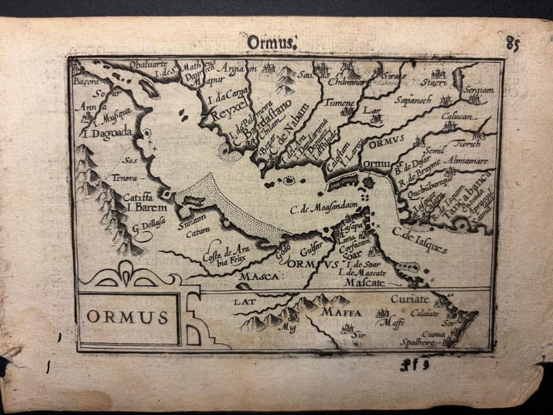
Ormus (Persian Gulf)
Barent Langenes (map engraved by Jodocus Hondius or Petrus Kaerius) · Middelburg · 1598
€ 5.500
Antique Maps · FM-0127
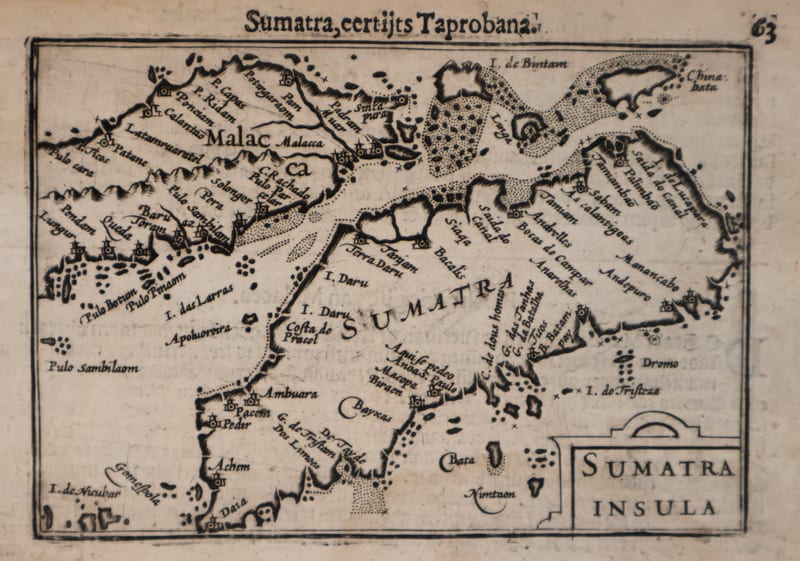
Malacca and Sumatra
Barent Langenes (maps engraved by Jodocus Hondius or Petrus Kaerius) · Middelburg · 1598
€ 2.200
Antique Maps · FM-0173
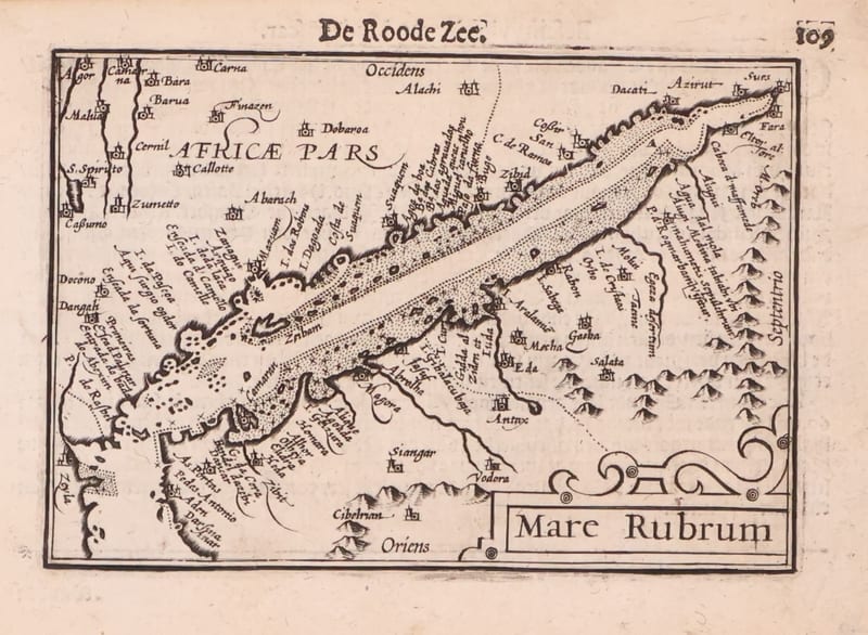
Mare Rubrum (the Red Sea)
Barent Langenes (map engraved by Jodocus Hondius or Petrus Kaerius) · Middelburg · 1598
€ 1.800
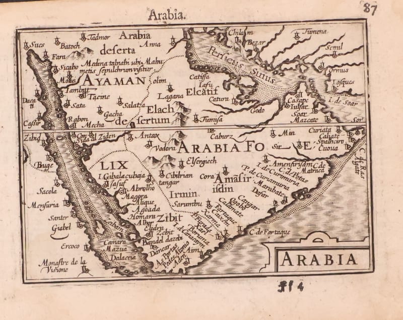
Antique Maps · FM-0123
Arabia
Barent Langenes (map engraved by Jodocus Hondius or Petrus Kaerius) · Middelburg · 1598
€ 1.200
All 20 works: Barent Langenes and Petrus Bertius →