Antique Maps
Mexicana (Mexico and New Spain)
Petrus Bertius (plate engraved in the Van den Keere and Hondius workshop) · Amsterdam · Cornelis Claesz · 1602
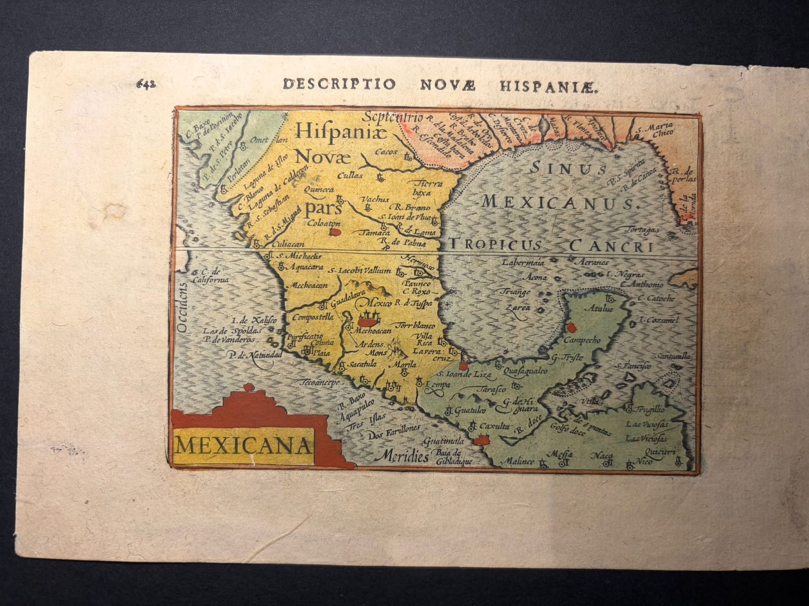
Petrus Bertius, miniature map of Mexico and New Spain from an early Latin edition of the Tabularum Geographicarum Contractarum, Amsterdam 1602, with old hand-colouring and the Latin Descriptio Novae Hispaniae on the verso
FM-0166
€ 750
Key Properties
Edition: Latin edition of 1602 of the Tabularum Geographicarum Contractarum; leaf paginated 642 (map) and 643 (text)
Language: Latin
Format: Copperplate engraving on a leaf from the oblong octavo atlas
Colouring: Attractive old hand-colouring: land in yellow and green, boundaries and principal places in red and orange, the sea in blue-grey
Collation & Technical Description
A single leaf from the atlas, p. 642 with the map and p. 643 with the text. The map carries the title MEXICANA in a cartouche at the left and shows central Mexico, the Gulf of Mexico, Yucatán and the neighbouring lands towards Guatemala and the northern Gulf coast, with Mexico, Guadalajara, Compostela, Acapulco, Veracruz and Campeche named, and Hispania Nova pars along the upper edge. The verso bears the heading DESCRIPTIO NOVAE HISPANIAE and a Latin description of New Spain, beginning Nova Hispania amplissima est Americae provincia, which treats California, Mexico, the climate, natural riches and animals of the country, and the Spanish conquest, with the explicit statement that it was first occupied by the Spaniards in 1518 under Hernán Cortés (Occupata primum fuit ab Hispanis Anno 1518, duce Ferdinando Cortesio). The page numbers 642 and 643 correspond to the Latin edition of 1602 published by Cornelis Claesz.
Condition
A sharp, dark impression, complete, with margins that are generous for a loose atlas leaf and not cut close to the platemark. General age-toning, some light spotting and a local fold or crease in the paper; small traces of use at the head, with the old page numbers. The text on the verso is complete.
References & Bibliography
Burden, The Mapping of North America, 114 (the plate of 1598, this edition). Van der Krogt, Koeman's Atlantes Neerlandici, 9950:342. Koeman, Atlantes Neerlandici, Lan (Bertius). Schilder, Monumenta Cartographica Neerlandica, VII, on the Langenes and Bertius pocket atlases.
Description
An early miniature map of Mexico and New Spain from the Tabularum Geographicarum Contractarum of Petrus Bertius, the Latin reworking and enlargement of the small pocket atlas first published in Dutch as Barent Langenes's Caert-Thresoor (Middelburg 1598). Bertius's first version appeared in Amsterdam around 1600 with Cornelis Claesz, and the present leaf comes from the edition of 1602. Bertius is usually named as the cartographer, but his share was chiefly the geographical text and the composition of the atlas; the copperplates of this miniature tradition belong to the workshop of Pieter van den Keere and Jodocus Hondius.
The map is a characteristic product of the early Dutch pocket atlas: small in size but densely filled with geographical information, and still reflecting the late sixteenth-century image of New Spain. Its importance lies less in new geography than in the early and wide European diffusion of the image of Mexico through a compact and relatively affordable atlas. The Latin text on the verso makes the leaf more than a map: it is an early seventeenth-century geographical and historical account of Spanish Mexico, naming Cortés and the year of the conquest.
This example is attractively coloured by an old hand, with the land in yellow and green, the boundaries and principal places picked out in red and orange, and the sea in blue-grey.
Historical Significance
The Langenes and Bertius pocket atlases carried the geography of the wider world, until then the privilege of the folio atlases of Ortelius and Mercator, to a broad public across Europe, and their maps of the Americas were for many readers the first detailed image of the Spanish possessions. The Mexicana plate, first cut for the Caert-Thresoor of 1598, was reissued with Bertius's Latin text from 1600 and remained in use through the early editions of the Tabularum, so that the image of New Spain it presents was among the most widely distributed of its time. The combination here of the map, old hand-colouring and the complete Latin description of New Spain on the verso makes the leaf a compact document of how Europe pictured Mexico at the turn of the seventeenth century.
Provenance
Available on request.
Related works
Antique Maps · FM-0098
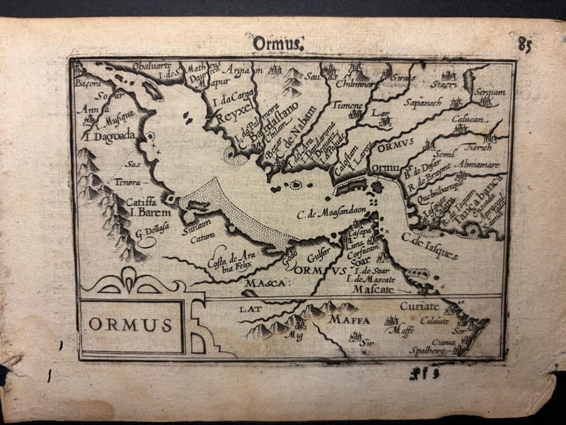
Ormus (Persian Gulf)
Barent Langenes (map engraved by Jodocus Hondius or Petrus Kaerius) · Middelburg · 1598
€ 5.500
Antique Maps · FM-0127
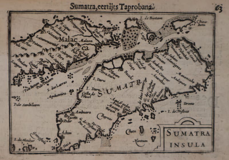
Malacca and Sumatra
Barent Langenes (maps engraved by Jodocus Hondius or Petrus Kaerius) · Middelburg · 1598
€ 2.200
Antique Maps · FM-0173
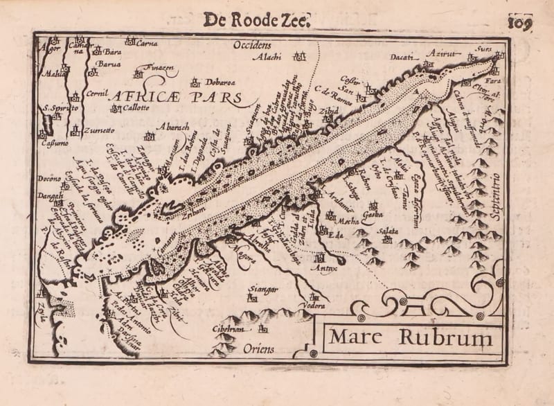
Mare Rubrum (the Red Sea)
Barent Langenes (map engraved by Jodocus Hondius or Petrus Kaerius) · Middelburg · 1598
€ 1.800
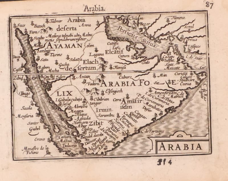
Antique Maps · FM-0123
Arabia
Barent Langenes (map engraved by Jodocus Hondius or Petrus Kaerius) · Middelburg · 1598
€ 1.200
All 5 works: Barent Langenes and Petrus Bertius →