Do you own books, maps or atlases from the age of discovery? We are always looking to acquire works within our field, from a single map to a complete library.Offer a work →

Collection › Cartographers, authors and themes

Cartographer, author, publisher · 1527 to 1598

Abraham Ortelius

10 works

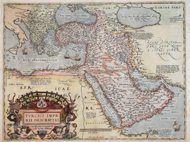
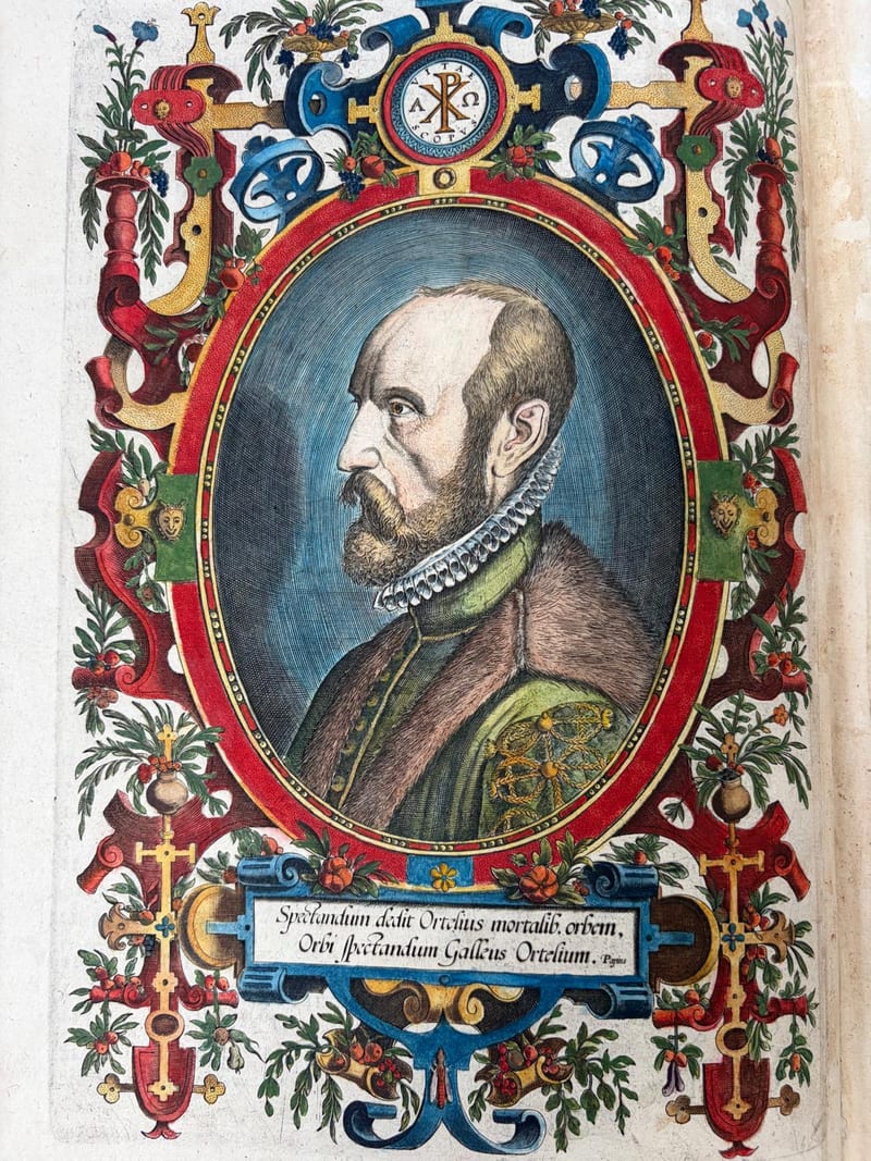
Abraham Ortelius (Antwerp 1527 to 1598) began as a colourist and dealer in maps and became the editor of the world. His Theatrum Orbis Terrarum, published at Antwerp in 1570, was the first modern atlas: a systematic collection of maps of uniform size, each engraved on copper for the book and each credited to its source in the Catalogus Auctorum. The Theatrum was reissued and enlarged until 1612 in Latin, Dutch, German, French, Spanish, Italian and English; a final Spanish edition appeared at the Plantin press in 1641. From 1579 Ortelius added the Parergon, an atlas of the ancient world drawn by himself, and from 1577 the Epitome, a pocket version for the traveller.

For the collector, the interest of an Ortelius sheet lies in the plate and the edition. Each map exists in a small number of copperplates and in dozens of editions, identified by the text on the verso; Van den Broecke's census records them all. Early Latin impressions, Spanish and English editions and maps with contemporary colour are the most sought after.

The works below are the Ortelius atlases and maps currently in our collection. Each is described with its plate, edition and state, with references to Van den Broecke and Van der Krogt.

In our collection 10
Theatro d'el Orbe de la Tierra
Voyages & Discovery · FM-0025

Theatro d'el Orbe de la Tierra

Abraham Ortelius (1527–1598) · 1641
Price on request
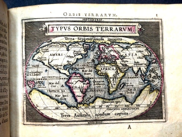
Epitome du theatre du monde
Voyages & Discovery · FM-0031

Epitome du theatre du monde

Abraham Ortelius · Antwerp · 1588
€ 11.000
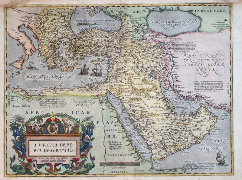
Turcici Imperii Descriptio (The Ottoman Empire), first plate
Antique Maps · FM-0124

Turcici Imperii Descriptio (The Ottoman Empire), first plate

ORTELIUS, Abraham · Antwerp · 1571
€ 1.950
Turcici Imperii Descriptio (The Ottoman Empire), second plate, Spanish edition
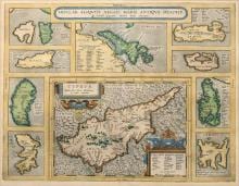
Antique Maps · FM-0180

Turcici Imperii Descriptio (The Ottoman Empire), second plate, Spanish edition

ORTELIUS, Abraham · Antwerp · 1588
€ 1.500
INSULAR. ALIQUOT AEGAEI MARIS ANTIQUA DESCRIP.
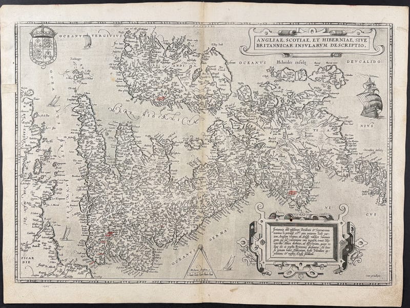
Antique Maps · FM-0015

INSULAR. ALIQUOT AEGAEI MARIS ANTIQUA DESCRIP.

Abraham Ortelius · Antwerp · Copperplate first issued 1584; later Latin-text example
€ 1.200
Angliae, Scotiae, et Hiberniae, sive Britannicarum Insularum Descriptio
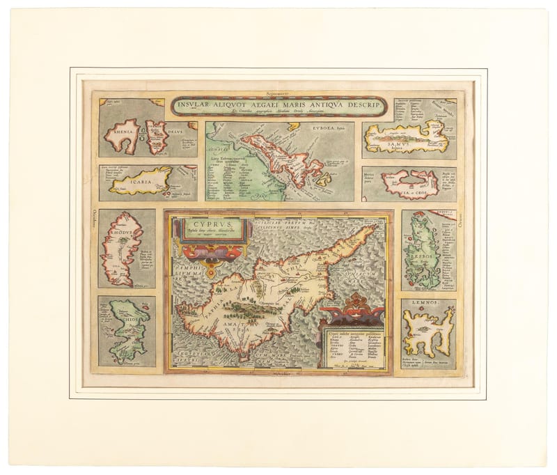
Antique Maps · FM-0050

Angliae, Scotiae, et Hiberniae, sive Britannicarum Insularum Descriptio

Abraham Ortelius · Antwerp · 1575
€ 1.200
INSULAR. ALIQUOT AEGAEI MARIS ANTIQUA DESCRIP.
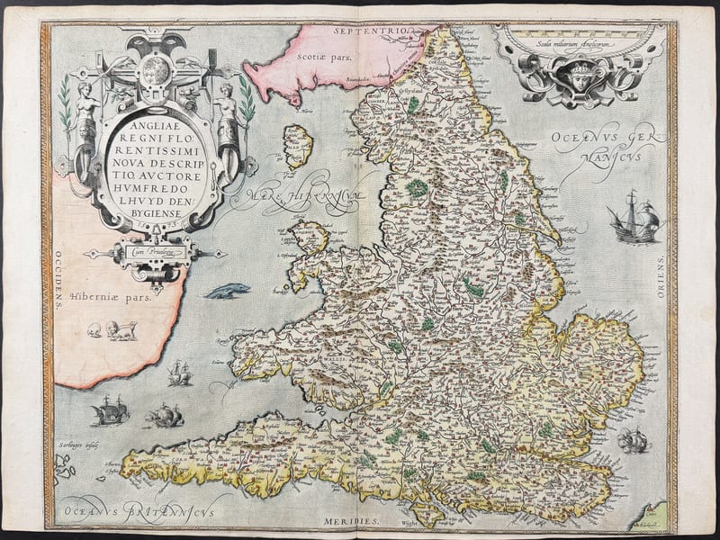
Antique Maps · FM-0061

INSULAR. ALIQUOT AEGAEI MARIS ANTIQUA DESCRIP.

Abraham Ortelius · Antwerp · Early 17th century (copperplate first issued 1584; Latin text on verso)
€ 1.100
ANGLIAE REGNI FLORENTISSIMI NOVA DESCRIPTIO
Antique Maps · FM-0005

ANGLIAE REGNI FLORENTISSIMI NOVA DESCRIPTIO

Abraham Ortelius, after Humphrey Llwyd · Antwerp · Plate added 1573; probably an early Latin impression
€ 900
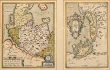
HOLSATIAE DESCRIPTIO / RUGIAE, USEDOMIAE ET IULINAE
Antique Maps · FM-0016

HOLSATIAE DESCRIPTIO / RUGIAE, USEDOMIAE ET IULINAE

Abraham Ortelius · Antwerp · Copperplate from 1584
€ 550
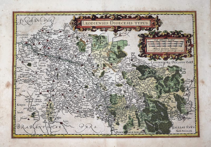
Leodiensis Dioecesis Typus (Prince-Bishopric of Liège)
Antique Maps · FM-0206

Leodiensis Dioecesis Typus (Prince-Bishopric of Liège)

ORTELIUS, Abraham (engraved by Johannes Baptista van Doetecum, after Jan van Schille) · Antwerp · 1587 or 1598 (French text edition; plate first published 1584)
€ 475