Antique Maps
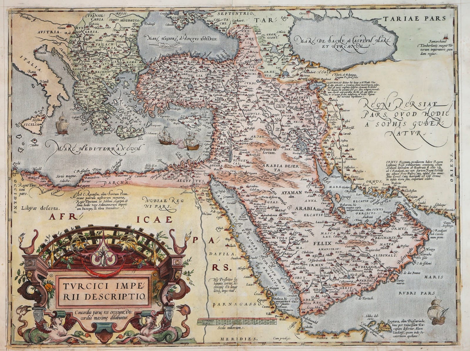
Turcici Imperii Descriptio (The Ottoman Empire), first plate
ORTELIUS, Abraham · Antwerp · Abraham Ortelius (printed by Gillis Coppens van Diest) · 1571
Ortelius's celebrated map of the Ottoman Empire from the first copperplate, in the Latin edition of the Theatrum Orbis Terrarum of 1571, the opening years of the first modern atlas (Van den Broecke Ort 168, 1571L50), in old hand-colour
FM-0124
€ 1.950
Key Properties
Edition: Theatrum Orbis Terrarum, Latin edition, Antwerp 1571 (Van den Broecke Ort 168, occurrence 1571L50)
Plate: First copperplate, introduced in the first edition of 1570 and in use until 1579
Language: Latin text on the verso, headed TVRCICVM IMPERIVM, page 50; first line ending 'in hanc (qua', the attribution to Laonicus Chalcocondyles centred
Format: Copperplate engraving on laid paper, double-page atlas sheet with the customary central fold
Dimensions: Sheet 42.5 x 55.4 cm (height x width)
Colouring: Old hand-colour
Collation & Technical Description
A double-page map from the Theatrum, extending from Italy and the Balkans across Anatolia, the Black Sea and the Caucasus to Persia, and south through the Levant, Egypt and the Arabian Peninsula. The title is set in the large architectural cartouche in the lower left, with putti, the arms and sea creatures, and the motto Concordia parvae res crescunt, discordia maximae dilabuntur. The seas carry sailing vessels and a sea monster, and numerous historical and geographical annotations are engraved on the face of the map. Verso: Latin text headed TVRCICVM IMPERIVM, page 50, the first line ending 'in hanc (qua' and the closing attribution to Laonicus Chalcocondyles centred, the setting recorded by Van den Broecke for the 1571 Latin edition.
Condition
A strong impression in attractive old colour, the engraved image complete, with good margins. Some age-toning and light staining in the margins and along the central fold; a small tear at the lower right-hand edge, outside the engraved image.
References & Bibliography
Van den Broecke, Ortelius Atlas Maps, Ort 168, 1571L50. Van der Krogt, Koeman's Atlantes Neerlandici, IIIA, 8100:31A. Ortelius, Theatrum Orbis Terrarum, Latin edition, Antwerp 1571. Cartographica Neerlandica, Ortelius map no. 168.
Description
One of Ortelius's most influential maps: the Ottoman Empire and the eastern Mediterranean in the age of Sultan Selim II, at the moment of the empire's greatest territorial reach. The map extends from Italy and the Balkans across Anatolia, the Black Sea and the Caucasus to Persia, and south through the Levant, Egypt and the Arabian Peninsula. Based in part on the work of Giacomo Gastaldi, it became the prototype for later European representations of the Ottoman dominions.
Ortelius introduced the map in the first edition of the Theatrum Orbis Terrarum in 1570, the first modern atlas. The first copperplate, from which the present example is printed, remained in use until 1579, when it was replaced by a newly engraved second plate that follows the first closely in geography and decoration; the two plates are told apart by small differences in the engraving and, above all, by the text on the verso.
The present example belongs to the Latin edition of 1571, the second edition of the atlas. The identification rests on the Latin verso text headed TVRCICVM IMPERIVM with page number 50 and, decisively, the setting of the first line of the verso text ending 'in hanc (qua', which Van den Broecke records for the 1571 Latin edition only (Ort 168, occurrence 1571L50). It is in old hand-colour.
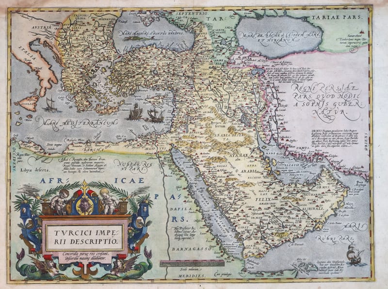
We also hold an example of the second plate, from the Spanish edition of the Theatrum (FM-0180); together the two sheets show the map as it was issued at the beginning and towards the end of Ortelius's career.
Historical Significance
The map appeared in the very year of Lepanto, when the Ottoman fleet was defeated by the Holy League, and only a year after the Turkish conquest of Cyprus. For the Antwerp of Ortelius, the commercial capital of northern Europe, the Ottoman Empire controlled the overland routes to the East and the trade of the Levant. The Theatrum gave its readers the first coherent atlas image of that empire, and this early impression from the first plate belongs to the opening years of the atlas that changed the way Europe saw the world.
Provenance
Available on request.
Related works
Voyages & Discovery · FM-0025
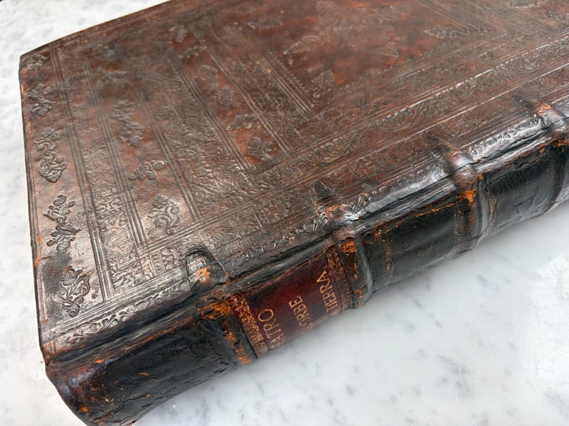
Theatro d'el Orbe de la Tierra
Abraham Ortelius (1527–1598) · 1641
Price on request
Voyages & Discovery · FM-0031
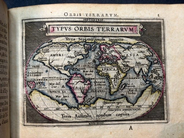
Epitome du theatre du monde
Abraham Ortelius · Antwerp · 1588
€ 11.000
Antique Maps · FM-0180
Turcici Imperii Descriptio (The Ottoman Empire), second plate, Spanish edition
ORTELIUS, Abraham · Antwerp · 1588
€ 1.500
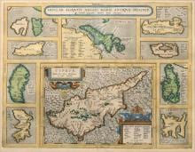
Antique Maps · FM-0015
INSULAR. ALIQUOT AEGAEI MARIS ANTIQUA DESCRIP.
Abraham Ortelius · Antwerp · Copperplate first issued 1584; later Latin-text example
€ 1.200
All 9 works: Abraham Ortelius →