Antique Maps
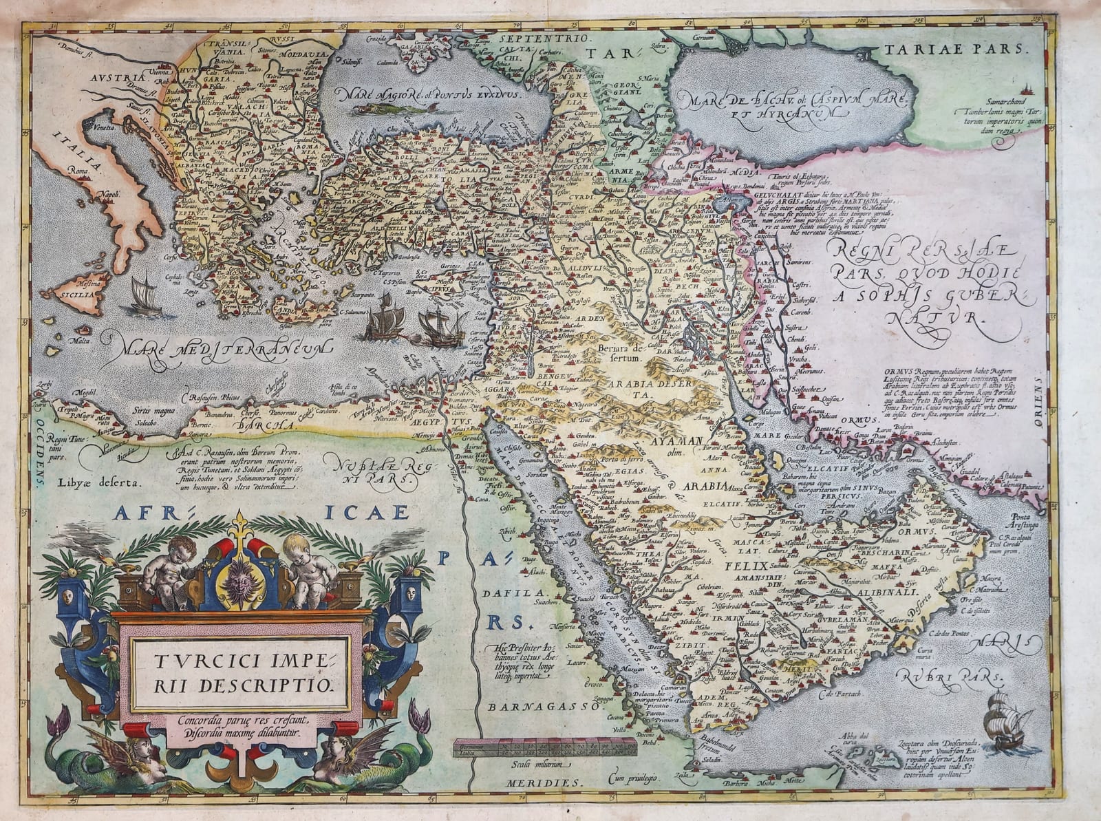
Turcici Imperii Descriptio (The Ottoman Empire), second plate, Spanish edition
ORTELIUS, Abraham · Antwerp · Christophe Plantin for Abraham Ortelius · 1588
Ortelius's map of the Ottoman Empire at the height of its power, printed from the second copperplate of 1579, from the scarce Spanish edition of the Theatrum Orbis Terrarum of 1588 (Van den Broecke Ort 169, 1588S96; Spanish text on the verso, page 96), in old hand-colour
FM-0180
€ 1.500
Key Properties
Edition: Theatrum Orbis Terrarum, Spanish edition (Theatro de la Tierra Universal), Antwerp 1588; Spanish text on the verso, page 96 (Van den Broecke Ort 169, occurrence 1588S96)
Plate: Second copperplate, engraved in 1579 to replace the worn first plate of 1570, which it follows closely
Language: Spanish text on the verso, headed EL IMPERIO TVRCICO, ending with the attribution to Laonico Chalcocondylas
Format: Copperplate engraving on laid paper, double-page atlas sheet with the customary central fold
Dimensions: Sheet 41 x 54 cm (height x width)
Colouring: Old hand-colour
Collation & Technical Description
A double-page map from the Theatrum, the Ottoman dominions shown from the Balkans and the Black Sea in the north-west across Anatolia, the Levant and Mesopotamia to Persia, Egypt, the Red Sea, the Arabian Peninsula and the Persian Gulf. The title is set in the large architectural cartouche in the lower left, with putti, the arms and sea creatures, and the motto Concordia parvae res crescunt, discordia maximae dilabuntur. The seas carry sailing vessels and a sea monster; historical notes are engraved on the face of the map. Cyprus, the eastern Mediterranean, the Black Sea, the Persian Gulf and Arabia are prominently rendered. Verso: Spanish text headed EL IMPERIO TVRCICO, page 96, with a large decorated initial and the closing attribution to Laonico Chalcocondylas.
Condition
A strong impression in attractive old colour, with generous margins. Light age-toning and minor signs of handling; the customary central fold.
References & Bibliography
Van den Broecke, Ortelius Atlas Maps, Ort 169, 1588S96. Van der Krogt, Koeman's Atlantes Neerlandici, IIIA, 8100:31B. Ortelius, Theatro de la Tierra Universal, Antwerp 1588.
Description
Ortelius's map of the Ottoman Empire presents the Turkish dominions at the height of their sixteenth-century power, from south-eastern Europe and the eastern Mediterranean through Anatolia and the Levant to Persia, Egypt and Arabia. First published in the Theatrum Orbis Terrarum of 1570, the first modern atlas, it was the standard European image of the Ottoman world for two generations and was repeatedly copied and adapted by other mapmakers.
In 1579 Ortelius replaced the original copperplate, in use since 1570, with a newly engraved second plate. It follows the first closely in geography and decoration, including the large title cartouche with its putti, arms and sea creatures; the two plates are told apart by small differences in the engraving and, above all, by the text on the verso. This second plate served all later editions of the Theatrum.
The present example comes from the Spanish edition of the atlas, the Theatro de la Tierra Universal, with the Spanish description of the Turkish empire on the verso, page 96, the setting of the first Spanish edition of 1588 (Van den Broecke Ort 169, occurrence 1588S96). The Spanish Theatrum was aimed at the market of the Spanish monarchy and its possessions and is considerably scarcer than the Latin editions. It is in old hand-colour.
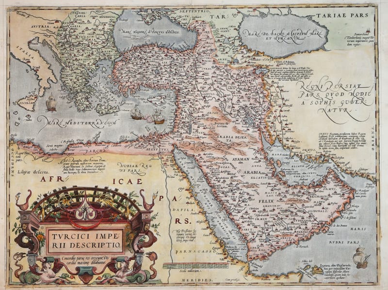
We also hold an example of the first plate, from the Latin edition of 1571 (FM-0124); together the two sheets show the map as it was issued at the beginning and towards the end of Ortelius's career.
Historical Significance
For the readers of the Spanish Theatrum the Ottoman Empire was the great rival of the Spanish monarchy in the Mediterranean, the adversary of Lepanto and the power that controlled the overland routes to the East, the very routes the Dutch voyages of discovery would soon seek to bypass by sea. Ortelius's map gave them the reference image of that empire at the height of its reach.
Provenance
Available on request.
Related works
Voyages & Discovery · FM-0025
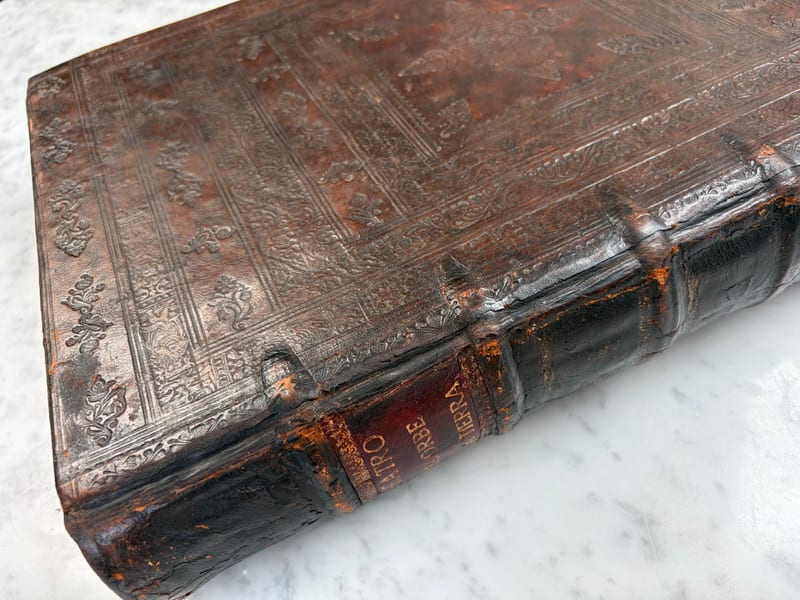
Theatro d'el Orbe de la Tierra
Abraham Ortelius (1527–1598) · 1641
Price on request
Voyages & Discovery · FM-0031
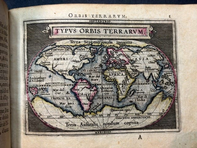
Epitome du theatre du monde
Abraham Ortelius · Antwerp · 1588
€ 11.000
Antique Maps · FM-0124
Turcici Imperii Descriptio (The Ottoman Empire), first plate
ORTELIUS, Abraham · Antwerp · 1571
€ 1.950
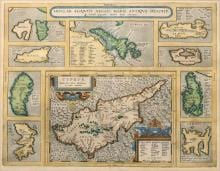
Antique Maps · FM-0015
INSULAR. ALIQUOT AEGAEI MARIS ANTIQUA DESCRIP.
Abraham Ortelius · Antwerp · Copperplate first issued 1584; later Latin-text example
€ 1.200
All 9 works: Abraham Ortelius →