Antique Maps
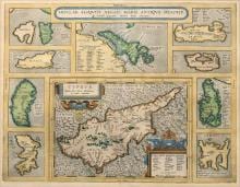
INSULAR. ALIQUOT AEGAEI MARIS ANTIQUA DESCRIP.
Abraham Ortelius · Antwerp · Abraham Ortelius (Plantin press) · Copperplate first issued 1584; later Latin-text example
Abraham Ortelius, Cyprus and the Aegean islands (Parergon)
FM-0015
€ 1.200
Key Properties
Edition: Parergon (atlas of ancient geography)
Language: Latin (text on verso)
Collation & Technical Description
Hand-coloured copper engraving. Plate approx. 36.2 × 47.2 cm; frame approx. 56.8 × 67 cm. A large central map of Cyprus surrounded by nine Aegean island maps; Latin text on verso.
Condition
The map appears attractive, with strong colour and wide margins. A light frame line from earlier framing is visible or noted. The closed frame prevents inspection of the verso.
References & Bibliography
Abraham Ortelius, Parergon: Insular. aliquot Aegaei maris antiqua descriptio; copperplate first issued 1584.
The Parergon is the first historical atlas; its maps were drawn by Ortelius himself. Van den Broecke, Ortelius Atlas Maps, 216. Cf. Zacharakis (Greek islands).
Description
This attractive Parergon sheet by Ortelius shows a large central map of Cyprus surrounded by nine smaller maps of Aegean islands (Rhenia, Icaria, Euboea, Samos, Ceos, Rhodes, Chios, Lesbos and Lemnos). The sheet combines classical geography, decorative cartouches and a rich composition.
The copperplate was first issued in 1584. The Latin text on the verso shows that the example offered comes from a Latin edition, but without a full verso image the exact date of printing cannot be determined.
Cyprus is an attractive collecting field, and the multi-map composition makes the sheet internationally desirable. Within the group shown here it is one of the stronger Ortelius maps.
Notable features: Large central map of Cyprus with nine island maps; Part of Ortelius's Parergon; Broad collecting audience: Cyprus, Greece and classical geography.
Historical Significance
From Ortelius's Parergon, the first historical atlas. Unlike the Theatrum, the Parergon maps were drawn by Ortelius himself and are among the most outstanding engravings of classical geography.
Provenance
Not established.
Related works
Voyages & Discovery · FM-0025
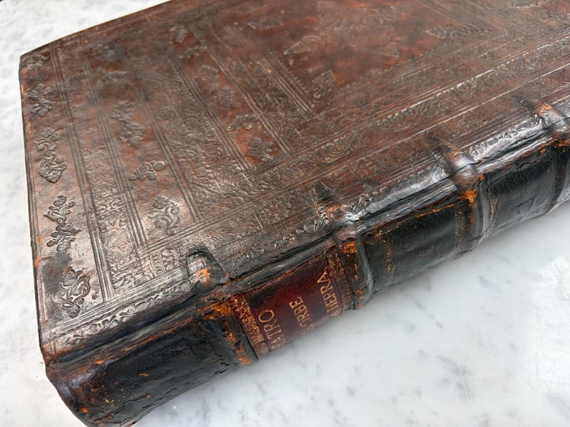
Theatro d'el Orbe de la Tierra
Abraham Ortelius (1527–1598) · 1641
Price on request
Voyages & Discovery · FM-0031
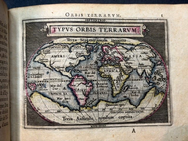
Epitome du theatre du monde
Abraham Ortelius · Antwerp · 1588
€ 11.000
Antique Maps · FM-0124
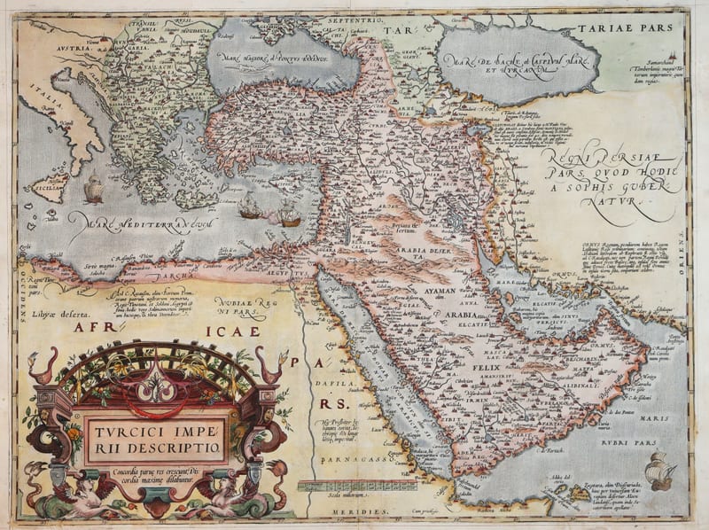
Turcici Imperii Descriptio (The Ottoman Empire), first plate
ORTELIUS, Abraham · Antwerp · 1571
€ 1.950
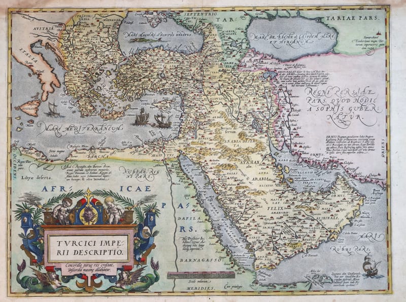
Antique Maps · FM-0180
Turcici Imperii Descriptio (The Ottoman Empire), second plate, Spanish edition
ORTELIUS, Abraham · Antwerp · 1588
€ 1.500
All 9 works: Abraham Ortelius →