Voyages & Discovery
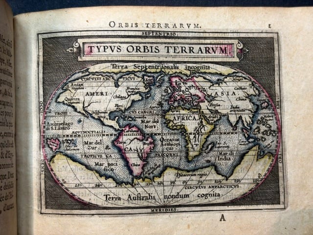
Epitome du theatre du monde
Abraham Ortelius · Antwerp · Plantin, for Philip Galle · 1588
Abraham Ortelius, the rare first French edition of the pocket atlas, with 94 maps
FM-0031
€ 11.000
Key Properties
Edition: First French edition of the rare pocket atlas ('reveu, corrigée & augmenté de plusieurs cartes, pour la troisiesme fois')
Language: French (text on verso)
Format: Oblong 8vo (11 × 16 cm)
Binding: Recased in old limp vellum gilt, the covers with a double fillet border and a central oval laurel wreath enclosing a monogram, gilt edges; a few small wormholes; lacking front paste-down and ties
Housing: In a fine custom clamshell box of tan calf, lined with wine-red velvet, with a black morocco label lettered in gilt
Collation & Technical Description
Coloured woodcut printer's device on the title; full-page coloured allegorical engraving; 94 full-page maps coloured in outline, with text on the verso. 8 nn., 94 num., 2 nn. leaves. Contains a world map, 4 continent maps, and detail maps of Europe (78, including England, Italy, Luxembourg, Malta, Poland, Russia and Cyprus), Asia (7, including China, India and Palestine) and Africa (4).
Condition
Somewhat browned and stained, with marginal foxing and dampstaining and colour offsetting to the text. Some maps with marginal ink stains, smudges, notes or scribbles; the map of Liège (leaf 34) printed crookedly. The vellum cockled and lightly soiled, with a small stain to the upper cover: honest signs of four centuries of handling in a book that was made to be carried and used, and all the more appealing for it. An early owner's ink mark at the foot of the title. The maps themselves in strong impression with the outline colour fresh.
References & Bibliography
Koeman III, A 332:01.
Description
The rare first French edition of Ortelius's pocket atlas. As Koeman records, “A new series of pocket atlases was begun by Filips Galle in 1588… He had new maps engraved in a much better style, and gradually replaced the old maps with new ones.” A charming, complete pocket Theatrum with the maps coloured in outline.
The copy is a particularly attractive one. It keeps its old limp vellum wrapper with a gilt laurel wreath and monogram on the covers, worn and cockled just as a pocket atlas that travelled in a coat pocket should be, and it is housed in a handsome custom clamshell box of tan calf lined with wine-red velvet and lettered in gilt on a black morocco label. The ninety-four maps, coloured in outline, include the celebrated small Typus Orbis Terrarum, the four continents, Hollandia with its ships on the Zuyder Zee, Tartaria reaching to the Strait of Anian, and the fine regional maps of Spain such as Andaluzia and the Bay of Cadiz.
Historical Significance
The Epitome made Ortelius's survey of the world available in a small, affordable format, carrying the cartography of the Theatrum to a far wider audience. This first French edition, with Galle's newly engraved maps, is among the most sought-after of the pocket atlases.
Provenance
Old ownership inscription to the title.
Related works
Voyages & Discovery · FM-0025
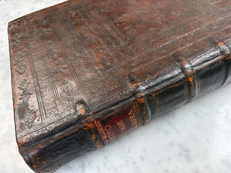
Theatro d'el Orbe de la Tierra
Abraham Ortelius (1527–1598) · 1641
Price on request
Antique Maps · FM-0124
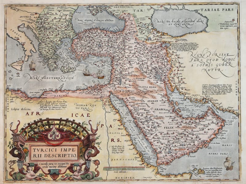
Turcici Imperii Descriptio (The Ottoman Empire), first plate
ORTELIUS, Abraham · Antwerp · 1571
€ 1.950
Antique Maps · FM-0180
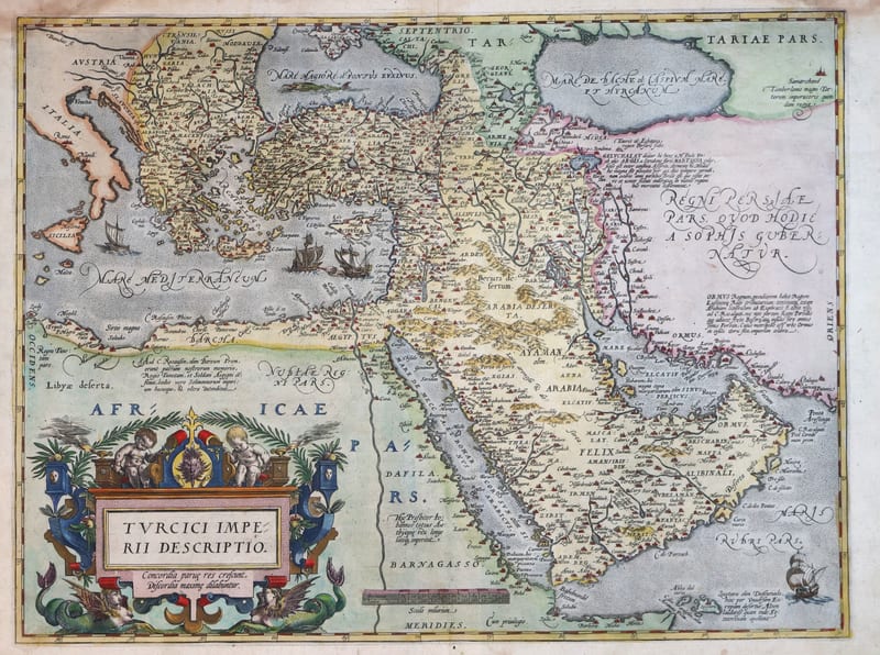
Turcici Imperii Descriptio (The Ottoman Empire), second plate, Spanish edition
ORTELIUS, Abraham · Antwerp · 1588
€ 1.500
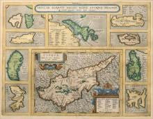
Antique Maps · FM-0015
INSULAR. ALIQUOT AEGAEI MARIS ANTIQUA DESCRIP.
Abraham Ortelius · Antwerp · Copperplate first issued 1584; later Latin-text example
€ 1.200
All 9 works: Abraham Ortelius →