Antique Maps
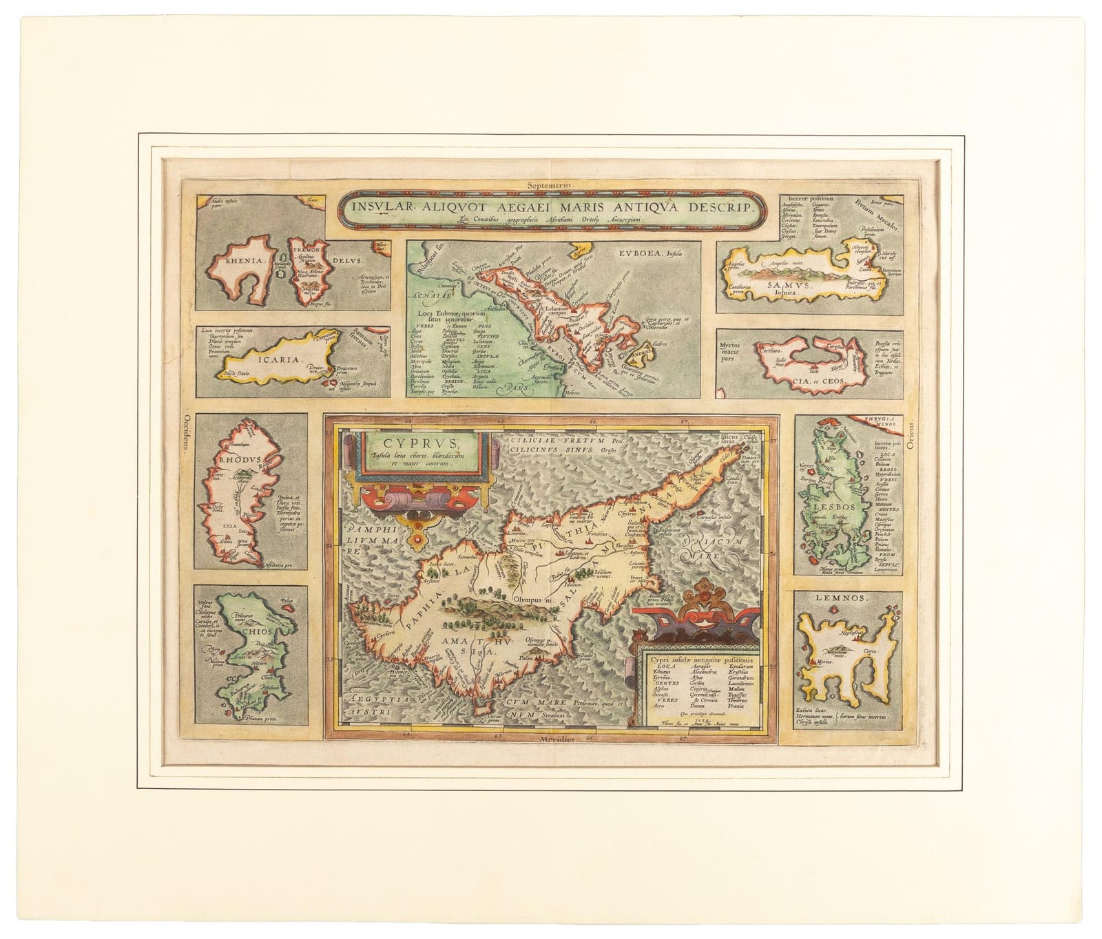
INSULAR. ALIQUOT AEGAEI MARIS ANTIQUA DESCRIP.
Abraham Ortelius · Antwerp · Abraham Ortelius / J. B. Vrients · Early 17th century (copperplate first issued 1584; Latin text on verso)
Abraham Ortelius, Cyprus and the Aegean islands (Parergon); second example, ex PBA Galleries.
FM-0061
€ 1.100
Key Properties
Edition: Parergon (atlas of ancient geography)
Language: Latin (text on verso)
Collation & Technical Description
Hand-coloured copper engraving. Central map of Cyprus surrounded by nine smaller Aegean island maps; Latin text on verso. Dimensions to confirm (second copy, not yet measured).
Condition
Some dampstaining at top left corner, mild rubbing at lower right corner; very good.
References & Bibliography
Abraham Ortelius, Parergon: “Insular. aliquot Aegaei maris antiqua descriptio”; copperplate first issued 1584. The Parergon is the first historical atlas; its maps were drawn by Ortelius himself. Van den Broecke, Ortelius Atlas Maps, 216. Cf. Zacharakis (Greek islands).
Description
Ortelius' map of Cyprus surrounded by smaller maps of the Aegean islands including Samos, Cia et Ceos, Lesbos, Lemnos, Chios, Rhodes, Icaria, Rhenia, Tremon and Euboaea. Latin text on verso.
Provenance
From the Klaus Werner Collection. Acquired from PBA Galleries & Auctions; second example held by the firm (the other copy is FM-0015, ex Kendzia).
Related works
Voyages & Discovery · FM-0025
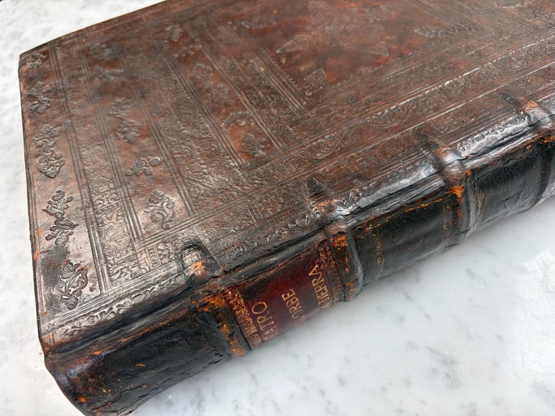
Theatro d'el Orbe de la Tierra
Abraham Ortelius (1527–1598) · 1641
Price on request
Voyages & Discovery · FM-0031
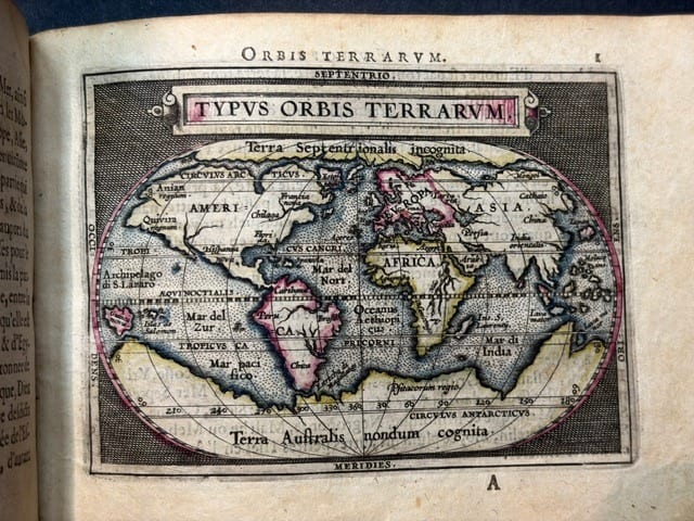
Epitome du theatre du monde
Abraham Ortelius · Antwerp · 1588
€ 11.000
Antique Maps · FM-0124
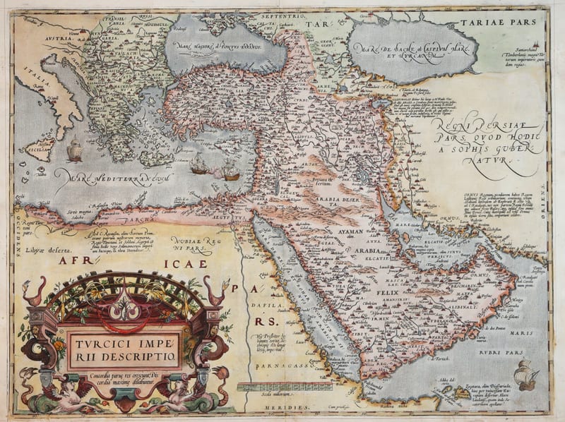
Turcici Imperii Descriptio (The Ottoman Empire), first plate
ORTELIUS, Abraham · Antwerp · 1571
€ 1.950
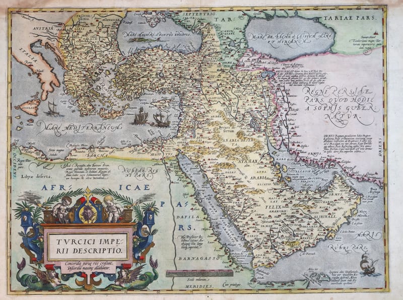
Antique Maps · FM-0180
Turcici Imperii Descriptio (The Ottoman Empire), second plate, Spanish edition
ORTELIUS, Abraham · Antwerp · 1588
€ 1.500
All 9 works: Abraham Ortelius →