Antique Maps
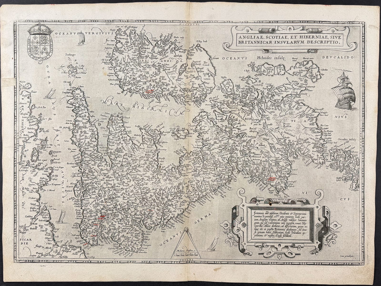
Angliae, Scotiae, et Hiberniae, sive Britannicarum Insularum Descriptio
Abraham Ortelius · Antwerp · Theatrum Orbis Terrarum · 1575
Ortelius's map of the British Isles from the Theatrum Orbis Terrarum.
FM-0050
€ 1.200
Key Properties
Maker: Abraham Ortelius
Place: Antwerp
Date: 1575
Medium: Copper engraving, hand-coloured
Image: c. 49.5 × 34 cm
Condition
Available on request.
References & Bibliography
Van den Broecke; Shirley.
Description
Abraham Ortelius's finely engraved map of England, Scotland, Ireland and the adjacent islands from the Theatrum Orbis Terrarum, the first modern atlas (first issued 1570). To fit the sheet the map is drawn with north to the right. A cornerstone of the golden age of Netherlandish cartography.
Provenance
Available on request.
Related works
Voyages & Discovery · FM-0025
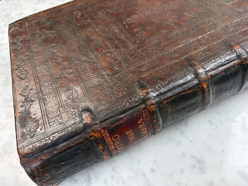
Theatro d'el Orbe de la Tierra
Abraham Ortelius (1527–1598) · 1641
Price on request
Voyages & Discovery · FM-0031
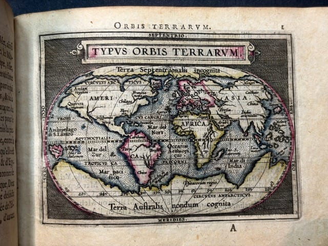
Epitome du theatre du monde
Abraham Ortelius · Antwerp · 1588
€ 11.000
Antique Maps · FM-0124
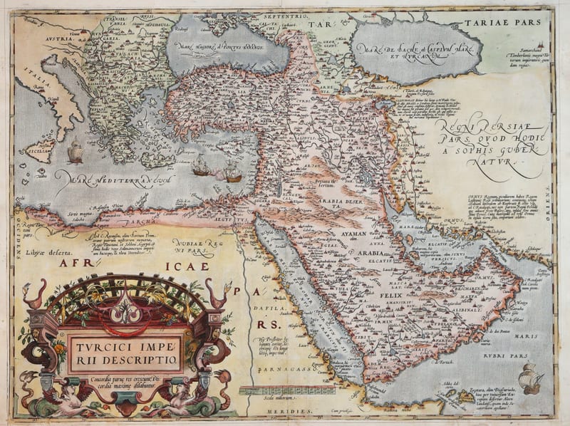
Turcici Imperii Descriptio (The Ottoman Empire), first plate
ORTELIUS, Abraham · Antwerp · 1571
€ 1.950
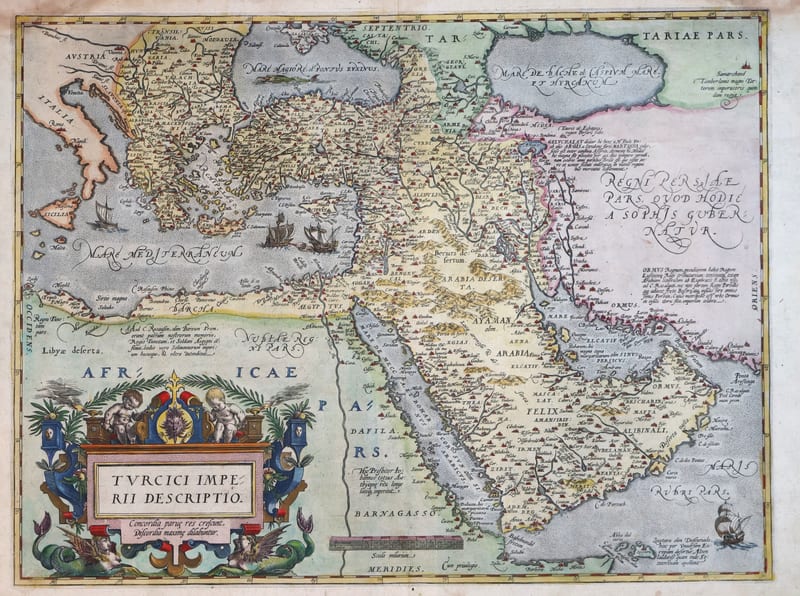
Antique Maps · FM-0180
Turcici Imperii Descriptio (The Ottoman Empire), second plate, Spanish edition
ORTELIUS, Abraham · Antwerp · 1588
€ 1.500
All 9 works: Abraham Ortelius →