Antique Maps
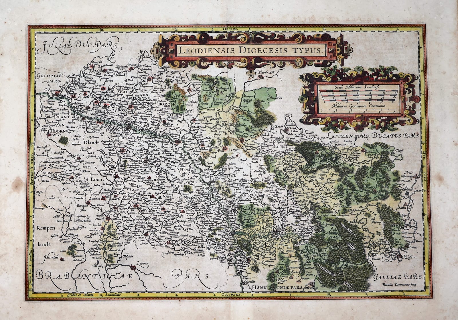
Leodiensis Dioecesis Typus (Prince-Bishopric of Liège)
ORTELIUS, Abraham (engraved by Johannes Baptista van Doetecum, after Jan van Schille) · Antwerp · Abraham Ortelius (printed by Christophe Plantin) or Jan Baptist Vrients · 1587 or 1598 (French text edition; plate first published 1584)
Ortelius' map of the diocese of Liège from the Theatrum Orbis Terrarum, Antwerp, French text edition of 1587 or 1598, in old hand colour: Limburg, Maastricht, Hasselt, Roermond, Liège, Namur and the Ardennes, engraved by Baptista van Doetecum after Jan van Schille.
FM-0206
€ 475
Key Properties
Edition: Abraham Ortelius, Theatrum Orbis Terrarum, the French text edition, Théâtre de l'Univers, Antwerp, 1587 (250 copies) or 1598 (525 copies); the plate first appeared in the Additamentum III of 1584 (Van den Broecke, Ort 63).
Map: 'Leodiensis Dioecesis Typus', title in a strapwork cartouche at the top, the scale cartouche upper right with 'Scala Miliarium Leodiens.' and 'Miliaria Germanica Communia', signed 'Baptista Doetecomius sculp.' lower right, 'Cum gratia et privilegio decennali, A. Ort.'; graduated border; oriented with east at the top.
Source: the manuscript map of Jan van Schille, also used by De Jode.
Content: the prince-bishopric and diocese of Liège from Roermond, Weert and Valkenburg in the north to Namur, Dinant, Chiny and Sedan in the south, with Maastricht, Hasselt, Tongeren, Sint-Truiden, Limburg, Stavelot and Liège; the wooded Ardennes ('Arduenna Sylva') in green; the neighbouring Brabant, Gelre, Jülich, Luxembourg, Hainaut and France named in the margins.
Colour: old hand colour, the woods in green, the towns in red, the cartouches in red, yellow and green, the border in yellow.
Dimensions: platemark approximately 38 x 49.5 cm; sheet 41 x 57 cm.
Text on the verso: French, 'Le Diocese du Liege', pages 239-240, with a woodcut initial, the last line 'la Lorraine de François des Rosiers.'
Collation & Technical Description
One engraved sheet, French letterpress text on the verso (pages 239-240), the vertical centre fold as issued. Platemark approximately 38 x 49.5 cm (Van den Broecke: 379 x 497 mm), the sheet 41 x 57 cm.
Condition
Very good. Old hand colour, strong and fresh. Centre fold as issued, strengthened on the verso with a strip of old paper. A few small fox spots and light stains in the margins, some scattered spotting on the text side, the map itself clean. Good margins.
References & Bibliography
Van den Broecke, Ortelius Atlas Maps, Ort 63 (French editions 1587F and 1598F). Koeman/Meurer 100. Karrow 1/143. Van der Krogt, Koeman's Atlantes Neerlandici, III, 3360:31A.
Description
Ortelius' map of the prince-bishopric of Liège, the ecclesiastical state that stretched along the Meuse from the Peel and Roermond in the north to Dinant and the Ardennes in the south and cut the Habsburg Netherlands in two. The map was added to the Theatrum Orbis Terrarum in the third Additamentum of 1584 and remained in every edition until the last of 1612. It was engraved by Johannes Baptista van Doetecum, who signed it in the lower right corner, after a manuscript map by the Antwerp surveyor Jan van Schille, the same source that De Jode used for his Speculum. Ortelius drew it with east at the top, so that the Meuse runs across the sheet from Maastricht past Liège and Huy to Namur and Dinant.
The map is dense with place names: the Dutch and Belgian Limburg with Maastricht, Valkenburg, Sittard, Roermond and Weert; the Kempen with Hasselt, Tongeren, Sint-Truiden and Diest; the duchy of Limburg with Limbourg, Aachen ('Aken') and Herve; the county of Loon; the Condroz and Famenne; and the Ardennes, with the abbeys of Stavelot and Saint-Hubert, drawn as a great forest that fills the lower right of the sheet. Two strapwork cartouches carry the title and the double scale of Liège miles and common German miles.
This impression comes from the French edition of the atlas, the Théâtre de l'Univers, with the French description of the diocese on the verso; the French text was printed twice with this map, in 1587 for Ortelius himself and in 1598, the year of his death, for his successor Jan Baptist Vrients. It is in old hand colour, the woods in green, the towns in red, the cartouches in red, yellow and green.
Historical Significance
The Theatrum Orbis Terrarum of 1570 was the first modern atlas, and the maps of the Low Countries that Ortelius added in the 1580s, in the middle of the Dutch Revolt, gave Europe its picture of the provinces over which the war was being fought. The prince-bishopric of Liège was neutral in that war, a Catholic ecclesiastical state whose towns of Maastricht, Liège, Huy and Dinant lay on the main road between the Spanish Netherlands and Germany, and Ortelius' map is the first atlas map of the territory. Its wealth of place names makes it the standard early map of Belgian and Dutch Limburg and of the Ardennes.
Provenance
Frederik Muller Rare Books, Amsterdam (stock of the firm).
Related works
Voyages & Discovery · FM-0025
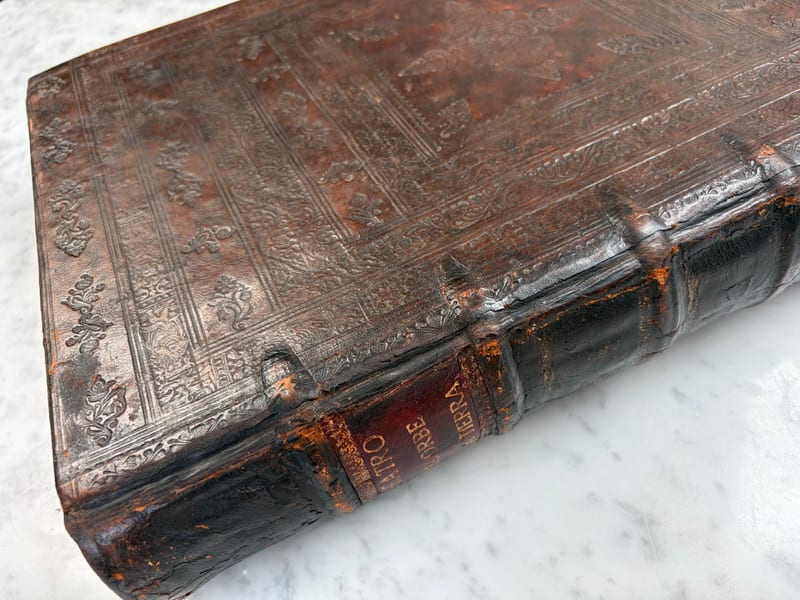
Theatro d'el Orbe de la Tierra
Abraham Ortelius (1527–1598) · 1641
Price on request
Voyages & Discovery · FM-0031
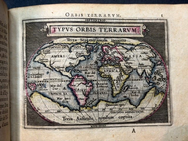
Epitome du theatre du monde
Abraham Ortelius · Antwerp · 1588
€ 11.000
Antique Maps · FM-0124
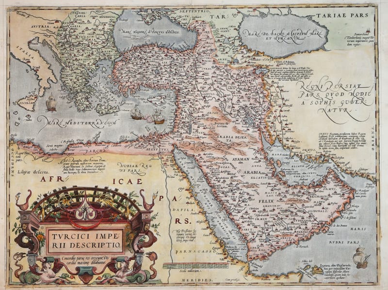
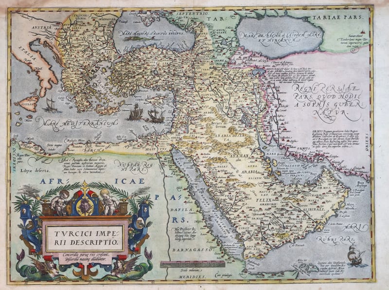
Turcici Imperii Descriptio (The Ottoman Empire), first plate
ORTELIUS, Abraham · Antwerp · 1571
€ 1.950
Antique Maps · FM-0180
Turcici Imperii Descriptio (The Ottoman Empire), second plate, Spanish edition
ORTELIUS, Abraham · Antwerp · 1588
€ 1.500
All 10 works: Abraham Ortelius →