Atlases
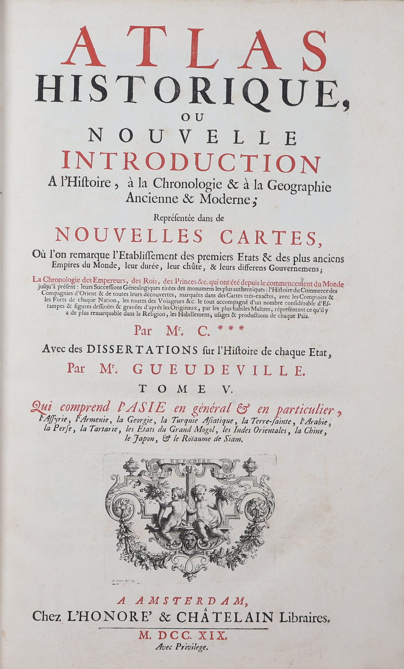
Atlas historique, ou Nouvelle introduction à l'histoire, à la chronologie et à la géographie ancienne et moderne. Tome V: Asie (the Asia volume)
CHATELAIN, Henri Abraham; dissertations by Nicolas GUEUDEVILLE · Amsterdam · L'Honoré & Châtelain · 1719 (first edition of the volume)
The Asia volume of Chatelain's Atlas historique in its first edition, Amsterdam, L'Honoré & Châtelain, 1719, with the frontispiece by Bernard Picart: 52 engraved plates of maps, plans, views, genealogies and scenes of Turkey, Persia, the Mogul empire, India, Java, Siam, China and Japan, after Delisle, Dapper, Chardin, De Bruyn and the Jesuit sources; the great encyclopaedic atlas of the early eighteenth century, in nineteenth-century half red morocco.
FM-0217
€ 9.500
Key Properties
Edition: first edition of Tome V, Amsterdam, L'Honoré & Châtelain, 1719, with privilege; the title page names the author only as 'Mr. C.***', with dissertations on the history of each state by Mr. Gueudeville. The Atlas historique appeared in seven volumes between 1705 and 1720 and was reprinted to 1739.
Preliminaries: general half-title for tomes V and VI (Asia, Africa and the Americas), allegorical frontispiece engraved by Bernard Picart and dated 1719, title printed in red and black, dedication to Prince Eugene of Savoy with an engraved headpiece of his arms.
Contents: the volume on Asia, with the letterpress introduction and the 52 engraved plates, each numbered 'Tom. V. No.' with the page reference: general and regional maps of Asia, the Turkish empire, Turkey, Arabia and Persia, Great Tartary, the Mogul empire, Java and the East Indies, and Japan drawn from Japanese maps; town views and plans (Constantinople and Hagia Sophia, Smyrna, Jerusalem, Isfahan, Persepolis, Batavia and the Dutch forts of the Indies, Siam, Miyako and Nagasaki); genealogical tables of the sultans, the shahs, the Mughal emperors and the twenty-two dynasties of China and the emperors of Japan; plates of costumes, religion, ceremonies, animals and plants, most with letterpress commentary.
Sources: the maps after Guillaume Delisle, the views and ethnographic plates after Dapper, Chardin, Cornelis de Bruyn, Le Hay, Nieuhof and the Jesuit accounts of China (the porcelain pagoda after Father Grueber).
Format: folio, approximately 43 x 30 cm; many plates double-page or folding.
Binding: nineteenth-century half red morocco, red cloth boards, spine gilt in six compartments with gilt lettering and volume number.
Language: French.
Collation & Technical Description
Folio. Half-title, engraved frontispiece, title in red and black, dedication and letterpress introduction, and 52 engraved plates, many double-page or folding, numbered in the sequence of the volume.
Condition
Very good. In nineteenth-century half red morocco, a touch of rubbing to the binding. The plates clean and strong, with only a little offsetting from the folding plates; a few faint marks. A fresh volume.
References & Bibliography
Koeman, Atlantes Neerlandici II, Cha 1-7. Phillips, A List of Geographical Atlases in the Library of Congress, 545 and 3499. Cf. Tooley's Dictionary of Mapmakers, Chatelain.
Description
The Atlas historique of Henri Abraham Chatelain (1684-1743), a Huguenot pastor from a family of Parisian merchants who settled in Amsterdam, is the great encyclopaedic atlas of the early eighteenth century. Published in seven volumes between 1705 and 1720, the first by the brothers Chatelain and the later ones by L'Honoré & Châtelain, it set out to give the educated public everything then known about the world in one work: maps, town plans and views, genealogies of the ruling houses, chronological tables, heraldry, costumes, religions and natural history, each plate accompanied by a commentary written by Nicolas Gueudeville, the exiled Benedictine turned journalist. It was the atlas of the Enlightenment before Diderot, and its plates were the picture of the world for a generation of readers in Holland, France and Germany.
The fifth volume, published in 1719 and opening with an allegorical frontispiece by Bernard Picart, is devoted to Asia, then the continent of the greatest interest to the Dutch and French public: the Ottoman empire and Persia, described from Chardin and Cornelis de Bruyn, the Mogul empire, and the East Indies, Siam, China and Japan from Dapper, Nieuhof, the Jesuit relations and the Dutch embassies. Chatelain took his maps from Guillaume Delisle, the leading geographer of the day, and surrounded them with tables and vignettes so that geography, history and commerce could be read together. The Asian plates are among the most attractive of the whole atlas: the map of Japan 'drawn from the maps of the Japanese' with the harbour of Nagasaki, the reception of the Dutch ambassadors in Japan, the view of Miyako, the royal barges and elephants of Siam, the nine-storey porcelain pagoda of Fukien, the 'flying bridge' of Shensi, the great genealogical tree of the twenty-two dynasties of China, and the large folding map of Java with the port of Batavia and the Dutch forts of Amboina, Ternate and Banda.
This is the first edition of the volume, with all 52 plates, in a well preserved nineteenth-century binding of half red morocco.
Historical Significance
Chatelain's Asia is the summing-up of a century of Dutch and French knowledge of the East, from Linschoten and Nieuhof to Chardin and the Jesuits, presented for the first time as a single illustrated survey for the general reader. It marks the moment when the reports of merchants and missionaries became the common property of the European public and the material of the Enlightenment's interest in Asia.
Related works
Voyages & Discovery · FM-0022
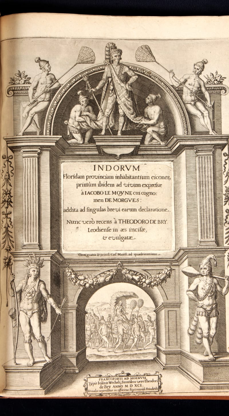
Grands Voyages & Petits Voyages, The Complete De Bry
Theodor de Bry (1528–1598) and sons Johann Theodor & Johann Israel de Bry · Frankfurt · 1590–1634
Price on request
Voyages & Discovery · FM-0026
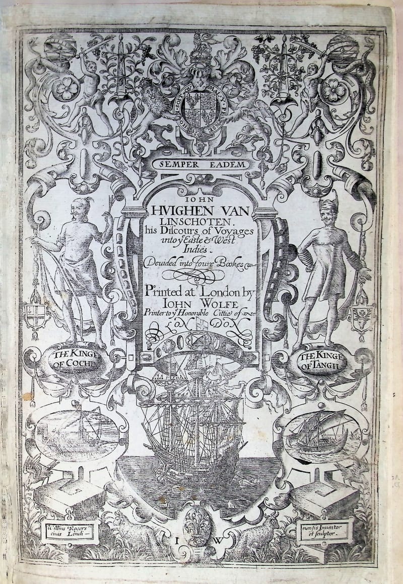
John Huighen van Linschoten his Discours of Voyages into ye Easte & West Indies
Jan Huygen van Linschoten (translated by William Phillip) · London · 1598
Price on request
Voyages & Discovery · FM-0044
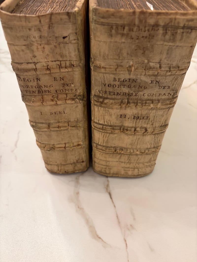
Begin ende Voortgangh van de Vereenighde Nederlantsche Geoctroyeerde Oost-Indische Compagnie
Isaac Commelin (compiler and editor) · Amsterdam · 1646
Price on request
Voyages & Discovery · FM-0030
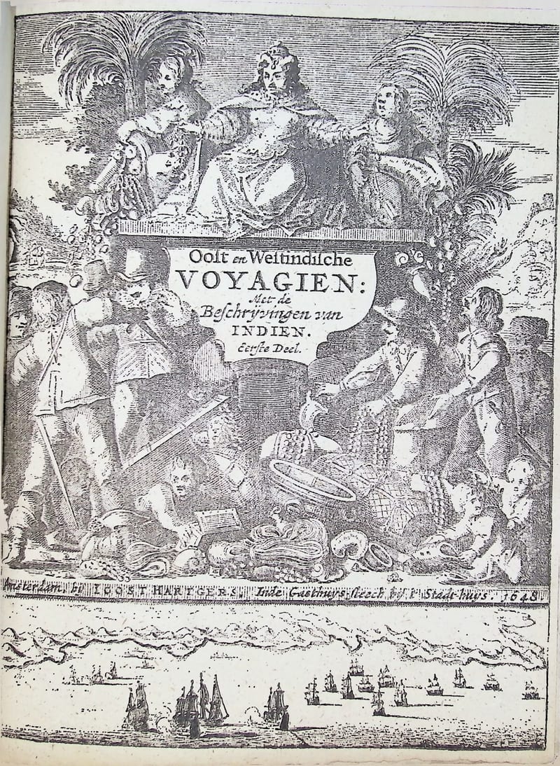
Oost-Indische voyagien
Joost Hartgers (collector & printer); various authors · Amsterdam · 1648
Price on request
All 29 works: The Dutch East India Company (VOC) →