Voyages & Discovery
Epitome Theatri Orteliani. Praecipuarum Orbis Regionum delineationes, minoribus tabulis expressas, brevioribusque declarationibus illustratas, continens
ORTELIUS, Abraham · Antwerp · Philips Galle, printed by Arnold Coninx · 1595
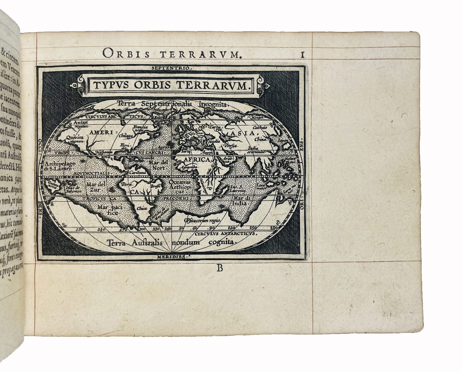
The pocket edition of Ortelius's Theatrum, the Latin edition of 1595 with an allegorical plate and 109 maps, in an early seventeenth-century gilt morocco binding.
FM-0287
€ 16.500
All prices include VAT. Import duties outside the EU are not included.
Key Properties
Edition: Latin edition, enlarged to 109 maps
Imprint: Antverpiae, Philippo Gallaeo execudebat Arnoldus Coninx
Format: Oblong octavo, 122 x 165 mm
Collation: Leaves [8], 109, [2]; allegorical plate and 109 maps (according to the seller's description)
Binding: Early 17th-century brown morocco gilt, spine 19th century
Provenance: Bookplate of Jacques Teutsch
Collation & Technical Description
Leaves [8], 109, [2]. Allegorical plate and 109 geographical maps. Lacks the final blank leaf (according to the seller's description).
Condition
Early seventeenth-century binding of brown morocco, the covers with a double gilt fillet border and a gilt oval cartouche with an allegorical composition at the centre, within a double gilt frame; spine with raised bands decorated with double interlaced D's; gilt edges. The spine is nineteenth century, with light wear to the binding. Ruled throughout. Title-page and final index leaf laid down. A tiny loss in the lower margin of leaf 24 and a small wormhole in the outer margin of leaf 16. Lacks the final blank leaf. Bookplate of Jacques Teutsch on the front pastedown.
References & Bibliography
Koeman, Atlantes Neerlandici, vol. III, Ort 56.
Shirley, The Mapping of the World, 161.
Burden, The Mapping of North America, 48.
Phillips, A List of Geographical Atlases in the Library of Congress, 402.
British Museum Catalogue of Printed Maps, C.2.b.4.
Tooley, Maps and Map-Makers, p. 29 (on the first edition).
Description
Ortelius's Theatrum Orbis Terrarum of 1570 was the first modern atlas, and in its large folio form one of the most expensive books of the sixteenth century. The engraver and publisher Philips Galle saw the need for a version that travellers and students could carry and afford, and from 1577 he issued a reduced edition, with smaller maps engraved by himself and short descriptive texts. First published in Dutch as the Spieghel der werelt, the pocket atlas soon appeared in French, Latin, Italian and English, and grew with each new edition.
This Latin edition of 1595, printed for Galle by Arnold Coninx in Antwerp, is enlarged to 109 maps and opens with an allegorical plate. It includes reduced versions of Ortelius's world map, Typus Orbis Terrarum, and of his map of the Americas, Americae sive Novi Orbis Nova Descriptio, alongside the maps of Europe, Asia and Africa. Tooley called the first edition of the Theatrum the moment that 'marked an epoch in the history of cartography'; the Epitome carried that achievement to a much wider public.
The copy is in an early seventeenth-century gilt morocco binding with an allegorical oval cartouche on the covers, ruled throughout, and carries the bookplate of Jacques Teutsch.
Historical Significance
The Epitome brought the content of the first modern atlas within reach of travellers, students and less wealthy readers, and in its many editions it did as much as the folio Theatrum to spread Ortelius's picture of the world.
Provenance
Jacques Teutsch (bookplate).
Related works
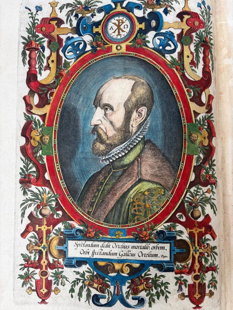
Voyages & Discovery · FM-0025
Theatro d'el Orbe de la Tierra
Abraham Ortelius (1527–1598) · 1641
Price on request
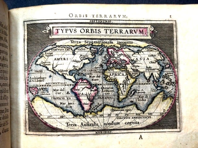
Voyages & Discovery · FM-0031
Epitome du theatre du monde
Abraham Ortelius · Antwerp · 1588
€ 11.000
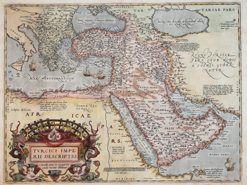
Antique Maps · FM-0124
Turcici Imperii Descriptio (The Ottoman Empire), first plate
ORTELIUS, Abraham · Antwerp · 1571
€ 1.950
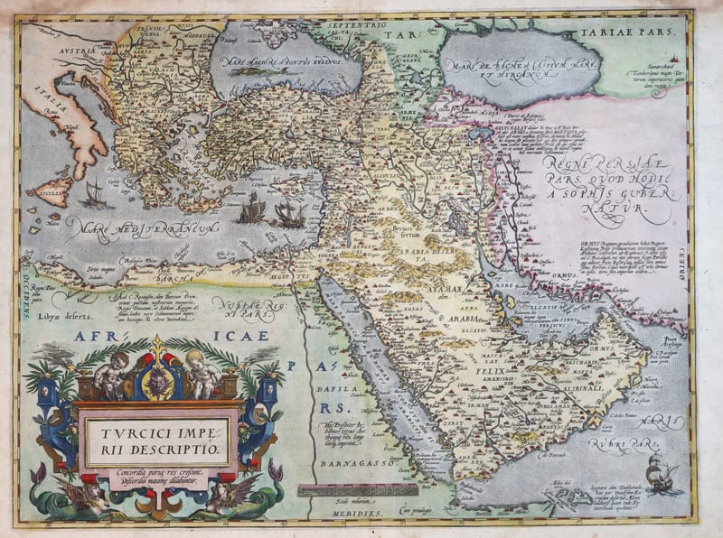
Antique Maps · FM-0180
Turcici Imperii Descriptio (The Ottoman Empire), second plate, Spanish edition
ORTELIUS, Abraham · Antwerp · 1588
€ 1.500
All 11 works: Abraham Ortelius →